I wasn’t lost, but I wasn’t on a trail, either. Downed trees surrounded me, holes nearby to step in, branches to trip over, and at least 100 yards to go in the Forest Primeval to get to a real trail. I was bushwhacking, and there were a few bushes, too.
My goal was to find an alternative way to reach the north end of the Hand Lake Trail in the Mount Washington Wilderness without having to hike in 2.3 miles from Robinson Lake Trailhead. I am part of the volunteer Scorpions Trail Crew, and we work on trails clearing fallen trees blocking passage, or logging out, brushing the trail free of encroaching brush, removing root wads on the trail, and building an occasional bridge for a hiking or mountain biking trail. We work year round. In the wilderness, where a few logs back, give or take, I had just crossed into, no power equipment is allowed, so we saw by hand. I’m a retired neurologist, and I never dreamed I would be occasionally leading a trail crew. Today, I was alone.
The 2.3 mile distance was something I and the Crew didn’t want to lug our packs, tools, and selves, because we didn’t need to work on that part of Deer Butte Trail, my current destination. We needed a shorter way to reach the junction of Deer Butte and Hand Lake Trails.
Once we reached Hand Lake Trail, we would begin work on its nearly four miles. The trail climbs through forest then enters a large area of the Scott Mountain fire footprint, where each year falling trees add to our workload and give us job security. I scouted the whole trail last year and found close to 100 logs. This year, I scouted the north half and saw the same logs plus new ones. The trail was a mess and in need of significant work.
I had driven in from Route 126 five miles on unpaved FS 2657, FS 840, to the last, FS 841. I parked the car at the beginning of 841 among several clumps of yellow Tansy Ragworts, taking care that nothing flammable was under the car. The Ore Fire was burning about 25 miles from me.
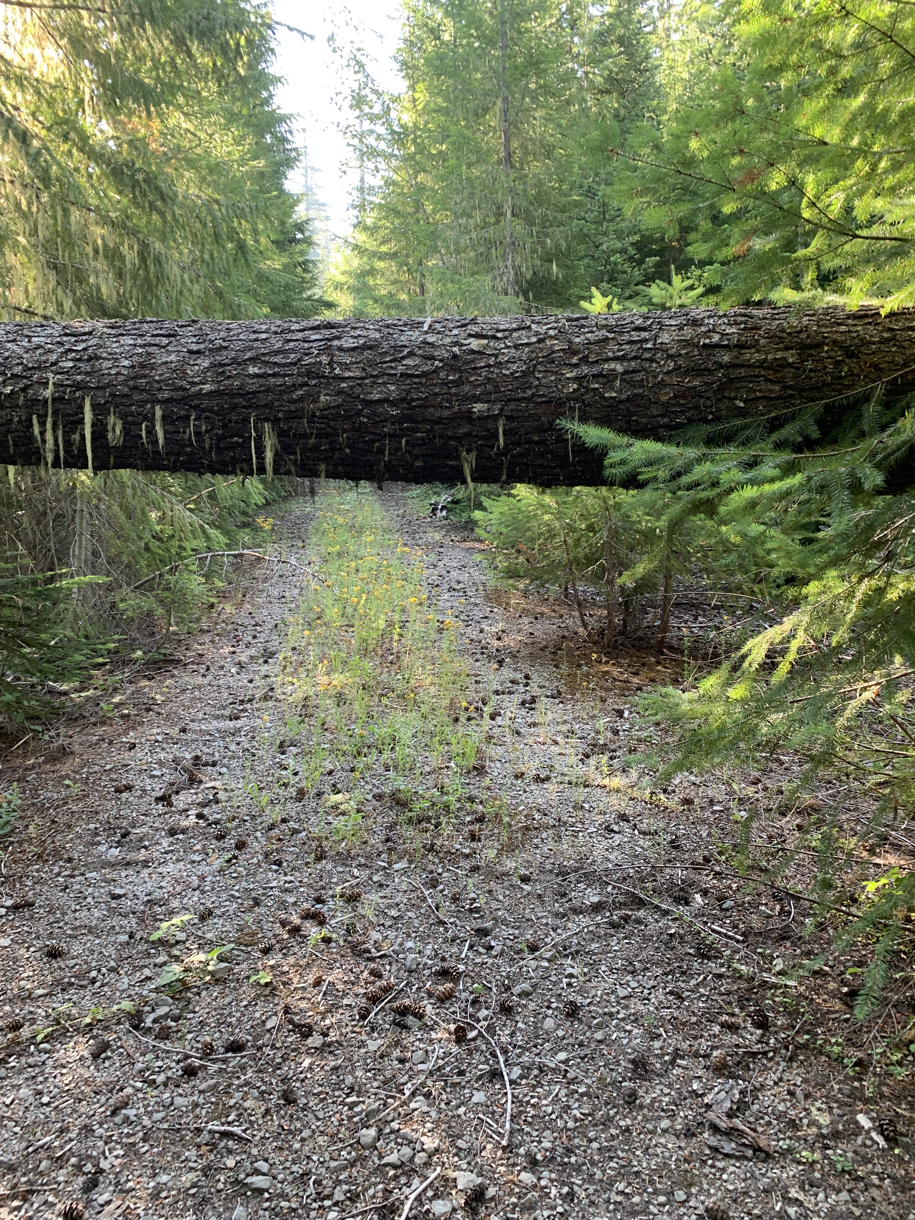
FS 841 climbs 420 feet in 0.8 miles, but it was impassable because of two small trees down over it; a little further were two 20 inch logs, the first covering half the road, the second completely across at windshield height. Along the road were leaners that needed to be cut out, and many branches were also in the way. When I started doing trail work, I tried to be careful of removing branches. Now, it is just “they’ve got to go,” and I cut. I will, however, leave beautiful wildflowers, like Mariposa Lilies, alone and try to let them go to seed. I was going to deal with all the logs and boughs as I went along, but it became clear that if I were to find a shortcut, I needed to stop clearing and start the bushwhack, the priority.
I bushwhacked straight towards the trail, forgetting that the shortest route may be the most difficult. I should have looked at the contour lines more carefully. I began to mark the trail before realizing that marking would encourage people to go the way I was going, and that was a mistake. Once I finally reached Deer Butte trail, I hiked a half mile to the junction, looking for places where I could begin the trail back to 841. After looking at the GPS, I got the idea of taking a route along a contour at about a 45 degree angle from the trail to the road. This way, it would be close to flat, for any climb or descent would be taking me off the contour. I marked my way with ribbon on trees, being careful to be sure one could see from one ribbon to the next.
Once I reached the road, I was almost done. I had to go back the original way to remove all the markers I put up and no longer wanted. If we cleared the road, we could drive to the end and in the course of a day, hike about three miles fewer. That is an extra two hours of logging out time. I couldn’t clear the road today, but I’d get a small crew up here.
For now, I needed to return to the car and try not to run over any Tansy Ragworts on my way out. Next time up, they should have gone to seed.


Leave a comment