OK, I’ll admit it, I am a little competitive about hiking. But only a little. I don’t trail run. I tried to do a fast trail walk once, and it was a killer. Like many things I do, I am good but not great. I don’t do anything really well except maybe work with numbers. That and a couple of bucks will get me coffee.
When I joined the Obsidian hiking group, I wasn’t sure what I was getting into, but on the first hike to Rooster Rock, climbing 2300 feet in a few miles, I stayed with the lead group. When the other group rejoined, we had a 20-30% grade the rest of the way. One guy led, and I just stayed behind him. I let him go first, but I talked all the way up. I sort of did that on purpose. It was a nice way to say I was not in the “red zone,” that I could talk and hike up a steep hill at the same time. I did that once on a bike, too, and I had it done a lot to me. It’s a bit demoralizing to be completely breathless and have a guy or gal come by you talking away as if they were out for a stroll.
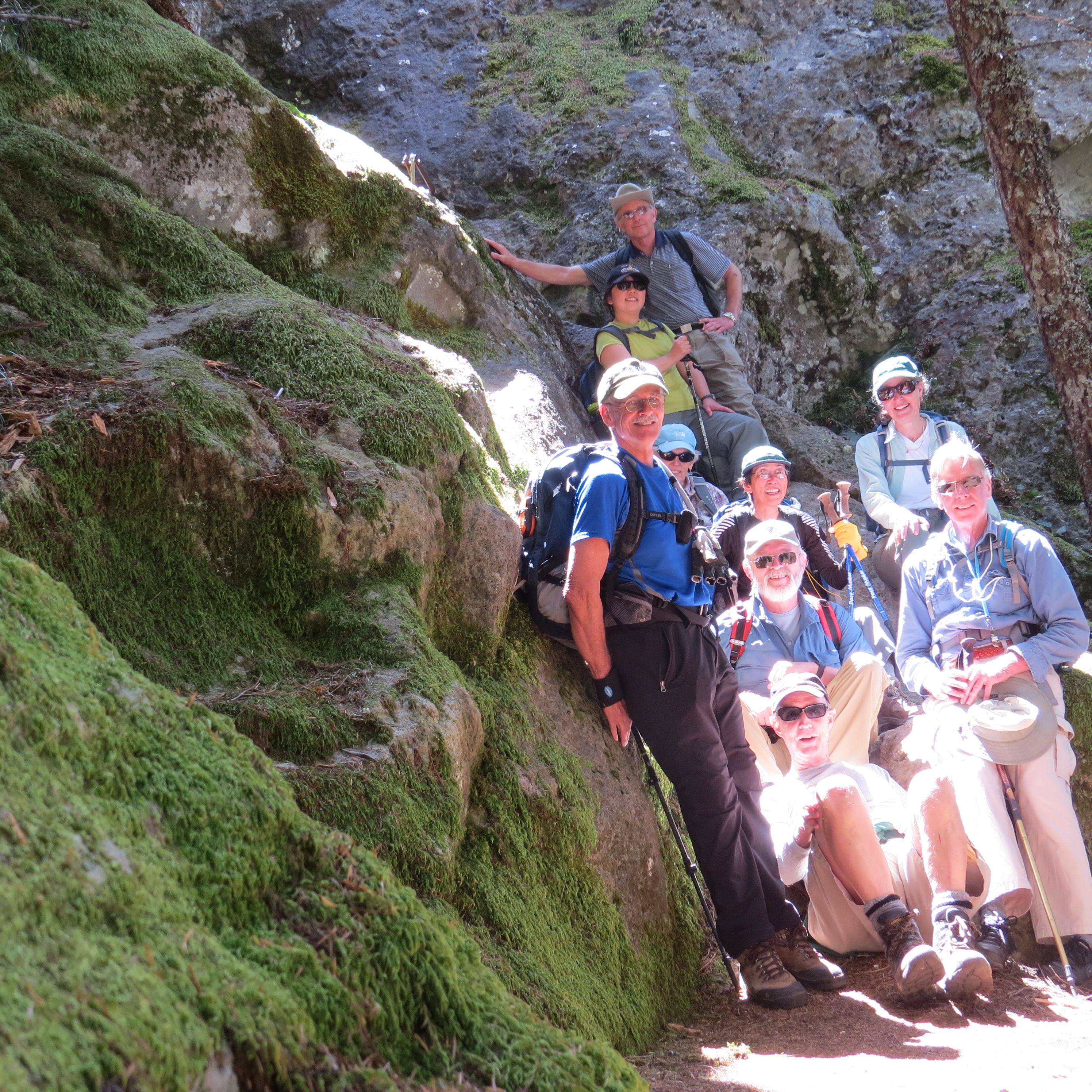
Later in the summer, at Black Crater, just east of McKenzie Pass, one of the guys came up behind me, when I was leading, and I stepped aside, so he could go up. He has been known to run up the trail, although this one was steep enough that after he opened a 100 meter gap on me, it stayed there. I was fine with it. I liked my pace, and I enjoyed the hike up. I really don’t need to lead, but if I am last, I want to be the “sweep,” the guy who takes care of any problems in the rest of the group.

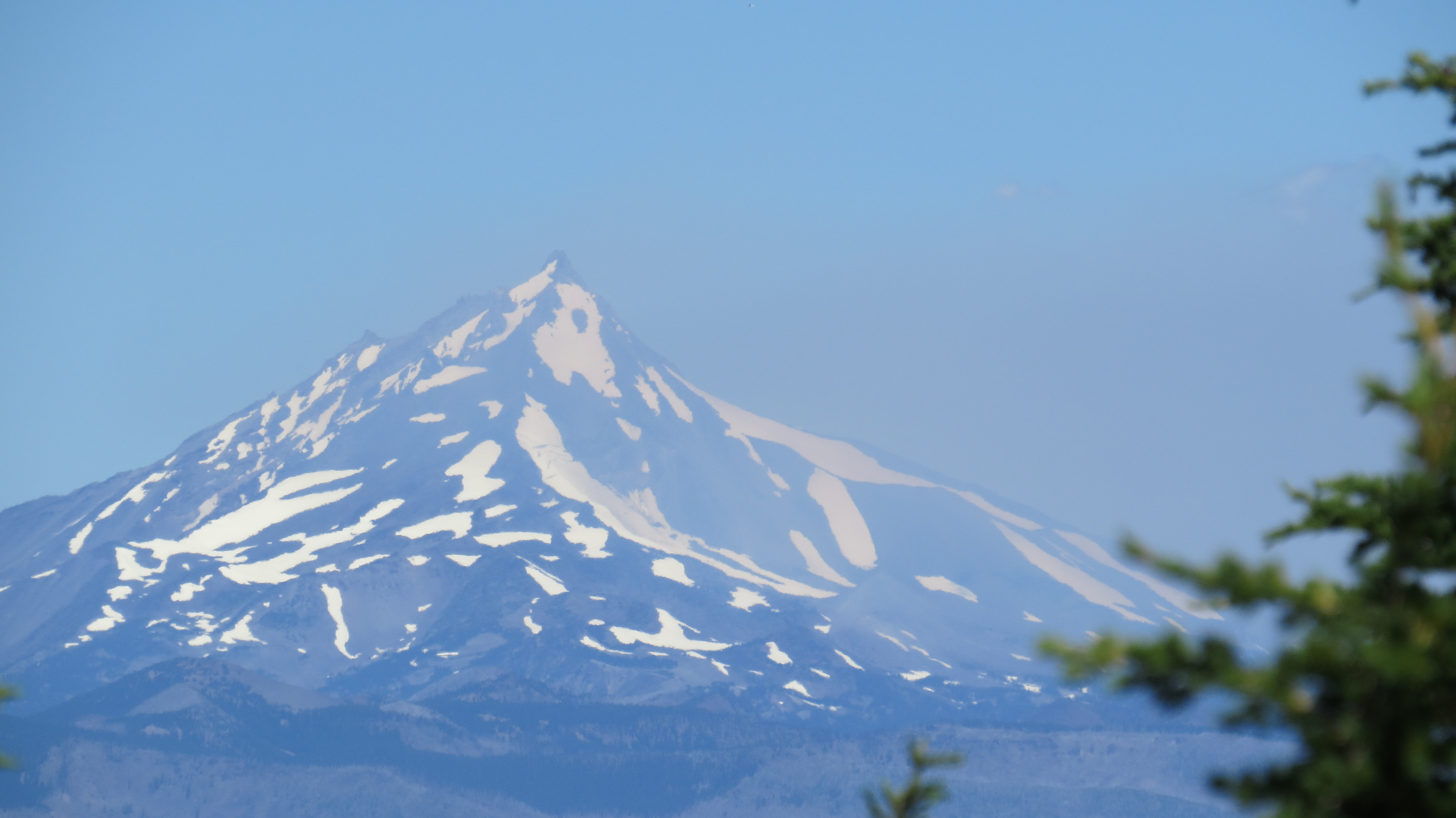
View of Sisters from Black Crater. Smoke from wildfires.
When it comes to my hiking portfolio, however, I wanted last summer to build my Oregon one quickly. Still, there are trails that have yet to see my feet. On that Rooster Rock hike, another hiker told me about some loop hike I needed to do in the summer. He said it was fantastic, but I couldn’t remember the name.
One week, I did 4 hikes in 5 days, a lot, even by my standards. I was a bit tired on Monday and Tuesday and took the days off. I was going to hike Thursday to either Middle Pyramid or Browder Ridge, a couple of good, reasonable tough hikes. The following Sunday, I was going to lead an Obsidian Loop Hike, my first time as a hike leader. As I was checking on how many had signed up for my hike, I saw the name, and it clicked: Opie Dilldock, 14 miles, 2800 feet elevation gain, high in the Cascades. Opie Dilldock is a high pass on the Pacific Crest Trail.
That was the hike I needed to do, except it was on the Monday after my Obsidian Loop Hike, and I was busy. I can’t hike all the time.
I knew the hike needed a permit, however, so I checked to see if anything was available on the previous Friday or Thursday. No. But there were 12 permits available on Wednesday, a lot, considering there are only 30 allotted each day. I wasn’t sure I wanted to go, but I couldn’t get the idea out of my mind. I could scout the Obsidian Loop Hike I was going to lead and see Collier Cone. Wow, what a loop. Wildflowers would be out, and I didn’t know when I would get another chance.
I couldn’t really go on Wednesday. It was too soon after all my hiking the previous week. At 2 p.m. on Tuesday, 10 permits were available. No problem, I thought, let me wait. At 6:30, three permits were available. I signed up online. This is crazy, but a hiking portfolio is a portfolio, and I was going to hear later how great the hike was and wish I had done it. My wife was out of town, the errands I had to do Wednesday could wait until Thursday, and I was going.
By 9:10 the next morning, I was on the Obsidian Loop Trail, expecting 16 miles, not 14. I walked steadily and did the 3 mile wooded part to the volcanic region in 50 minutes. So far, so good. I found the trail after that, which had been under snow a month prior, and continued uphill to Obsidian Falls, 1700 feet above where I started. I was about 6 miles in and had plenty of time. Ten miles to go.
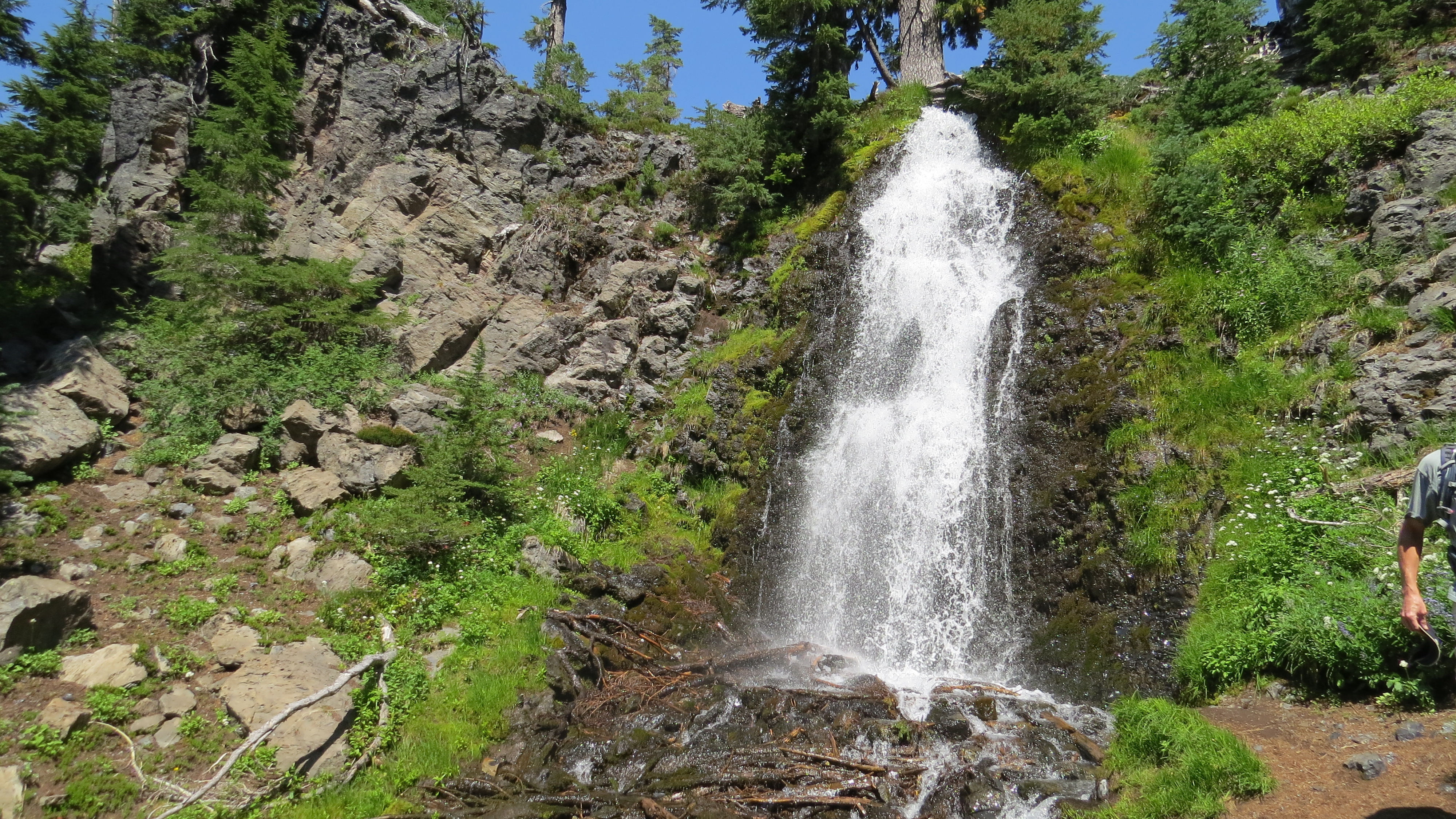
Obsidian Falls
Or so I thought.
The trail dropped about 100 meters, which was a little discouraging, because I knew I would have to climb it and more. On the other hand, I was seeing alpine lakes that in July were just beginning to thaw. The place where I climbed in snow was somewhere, but it sure wasn’t on the trail I was on. I hadn’t seen any of this trail back in early July.
I left the Obsidian Loop portion and headed down more and then upwards, toward Collier Cone. I was in volcanic area now, soil like rocky ball bearings, slippery, as I started some serious switchbacking up. It reminded me of the Grand Canyon. Snow was to my right, and after a long climb, I saw what looked like the top of a ridge. I crested the ridge, and—wowwww— there was Collier Cone, a lake, two glaciers calving ice bergs into it. I was 10 miles into the hike, had lunch, and figured not only would this hike be more than 14 miles, it would be more than 16. A lot more. I still had to get to Four in One Cone, 4 1/2 miles from the road, which led back to the original trailhead.

Collier Cone, 7200 feet (2200 m.). It is 2400 feet above the starting point, and there is a lot of downhill, so the total elevation gain is more than 3000 feet (900 m)
Smoke clearly visible.

Pacific Crest Trail north of Opie Dilldock pass, looking north.
Time to get moving. I was soon on the Pacific Crest Trail, a hiker about 1/2 mile behind me and three ahead of me. I caught up with the latter at the Scott Trail, my route back to the road. The PCT hikers had “the look”. It is hard to describe, but it is the stare of somebody who has been on his or her own for a while, seen things the rest of us won’t, has had a rough time out in the wilderness, but wouldn’t have it any other way, and is doing the hike for a reason, usually private. I know this, because I have section-hiked the Appalachian Trail, and I’ve had “the look,” too. I had seen things others never would, been hot, cold, wet, dry, exhausted, exhilarated, happy to see people, happier to be alone, hurting, not hurting, and caring only for my body and my gear, in that order.
Time to get back to the car. I walked past Four and One Cone, where I had been 4 days earlier, back on familiar trail, found a shortcut to the car, and finished in under 6 hours. I didn’t care about my speed. I saw a lot. It was a tough hike but a good hike. I would get some junk food on the drive home.
Opie Dilldock is now part of my portfolio. Really, really good hike.
All nineteen miles of it.
Tags: Outdoor writing

Leave a comment