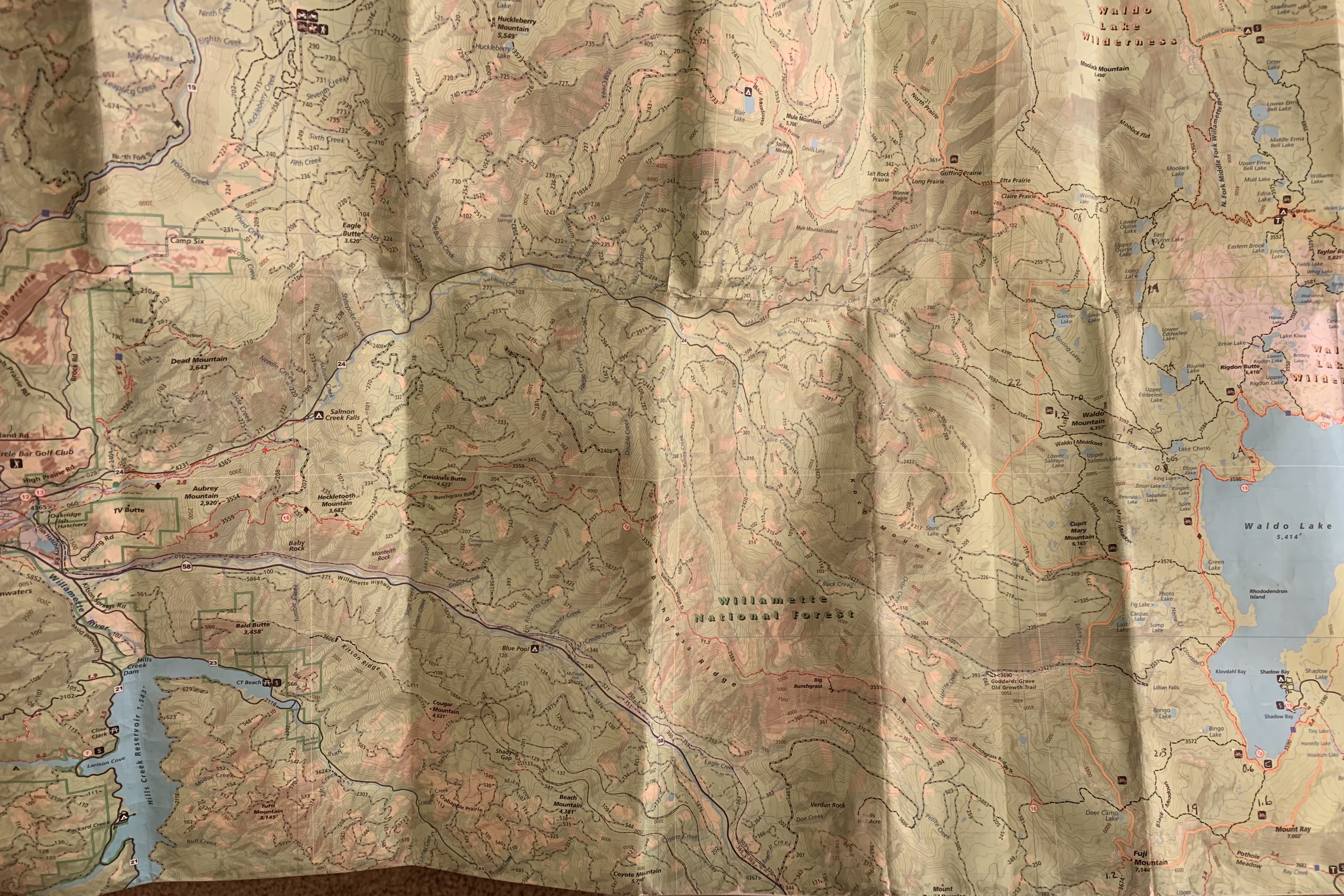
On 30 June, the Crew worked Black Creek Trail, which traverses 3.7 miles from the trailhead at the end of FS 24 to Waldo Lake, climbing about 2100 feet. A little more than a mile in is step-cascading Lillian Falls, after which the trail climbs steeply and steadily. We had logged out the lower 2.3 miles of trail; prior scouting by one of the Crew said there were no more logs until there was a wall of snow up at Klovdahl Creek, a mile from the end. We would have to wait for the snow to melt to do more, and in the meantime we tackled other projects.

There were two obvious options to finish the last mile of the trail: one was to hike back in from FS 24 to finish the trail, which meant carrying the tools nearly three miles uphill before using them. A second option was to go to Shadow Bay on Waldo Lake and hike around the lake 4 miles on the Jim Weaver Trail that circles the lake to the other end of the trail, attacking it there.
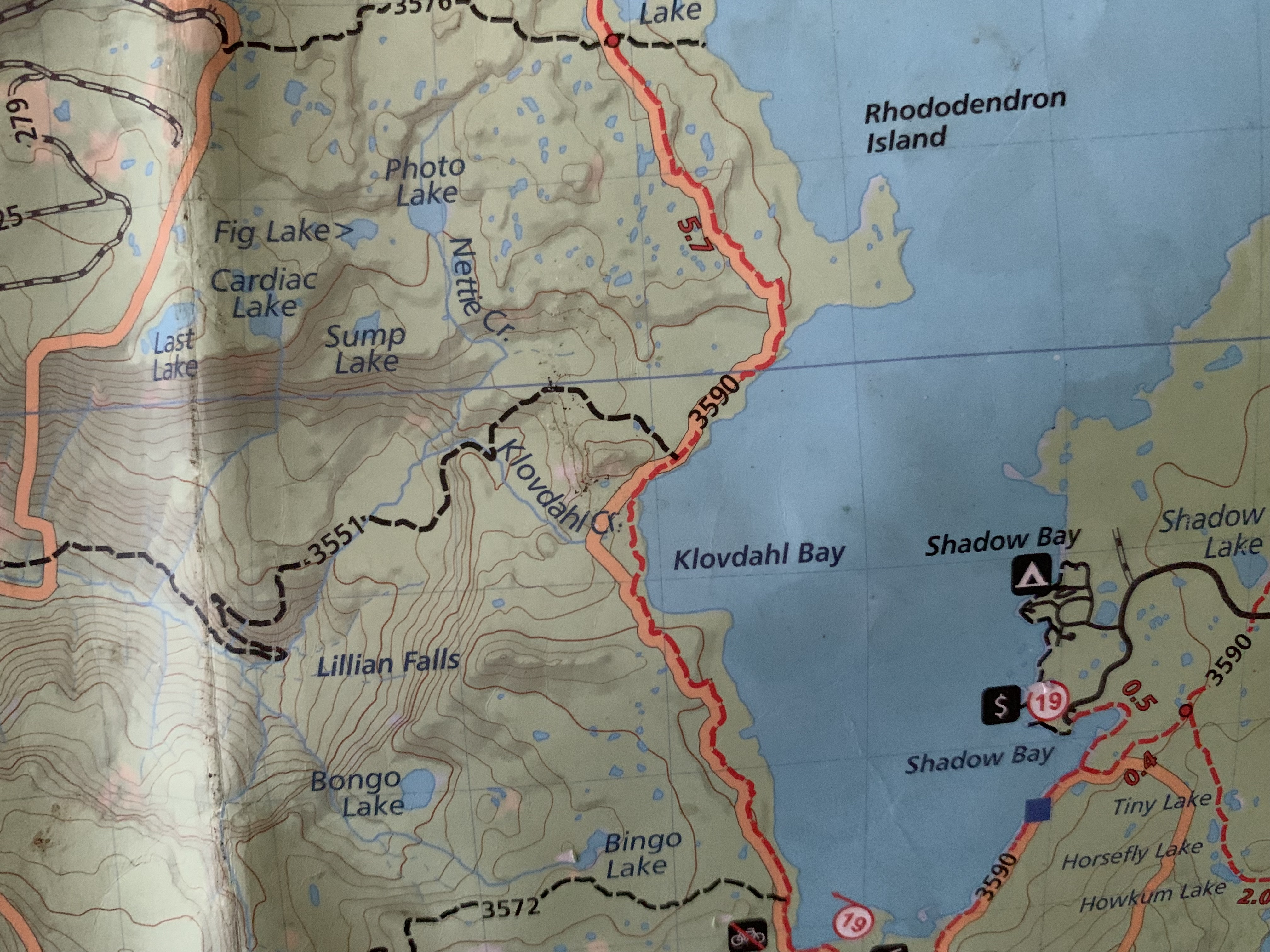
I had seen the possibility on a map of canoeing across Waldo Lake a couple of years ago, mentioned it, and some others had, too, for last year, two canoed from Shadow Bay a mile and a half to the trail’s end and logged it out. Last week, the Crew Boss called me and asked I wanted to canoe over to the other side to help him log out the last mile of the trail.
I haven’t been to the Boundary Waters since 2019, the best place I have ever canoed, all 69 different trips have taken there. I miss it terribly. But I am not ready to deal with airports and flying quite yet. I know several in the Club have had Covid. I am less worried about dying of it than I am of having long Covid, which will be devastating to a guy like me, who like a shark, has to be moving all the time. We are on track for 140,000 deaths from Covid annually in this country, the new variant is a problem, and I mask inside and when I ride with others in a vehicle to the trailhead. I don’t want the virus. Covid is not done with us yet, regardless of whether or not people are done with it.
I’ve thought of driving to the Boundary Waters, but it is 3 days each way, maybe 2 1/2, and it doesn’t appeal to me, although I haven’t ruled it out.
But canoeing on Waldo Lake? Wow! I emphatically agreed, and at 8:15 last Monday, we were at Shadow Bay with a We-No-Nah Heron canoe and our gear. I additionally had my paddle and rubber boots. It was incredibly buggy, as only Waldo Lake can be in summer, and this being my ninth summer here, I can say that Oregon finally approached Minnesota for bug issues. The NW Territories and Alaska are in a higher league with bugs, just the way they are with wilderness.
Sig and I loaded the canoe. I put my paddle in the bow, a paddle given to me in 1992 when I took my leave of absence from my practice, one that was used on 22 trips that summer and has been used only twice in the intervening 30 years, once on the canoe canal in Eugene, and once to practice my stroke three years ago after I broke my hand on Mt. Hood. I wanted to see how paddling might affect it (not enough to cancel a trip).
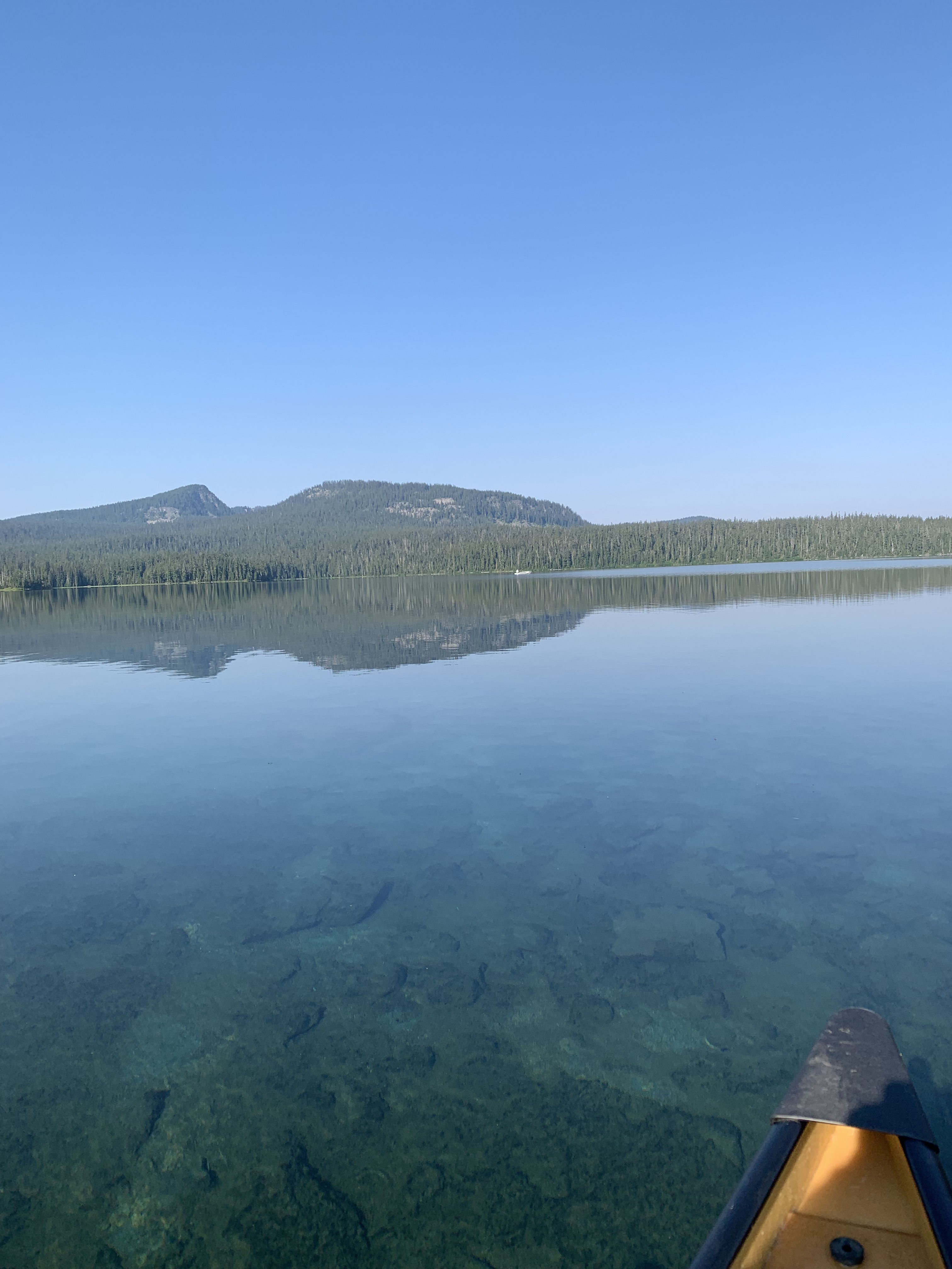
Wearing my rubber boots, I waded into the lake steadying the canoe while Sig got in. Then I got in the bow, and off we went, packs, saws, Pulaskis, hiking boots, lunches, and GPS, as the blue colored water passed under us, bottom plainly visible. It felt great to be pulling again, and I looked across the long expanse to the other side, the Open Horizons that another Sig—wilderness writer Sig Olson—wrote about. Waldo is about 6 miles long, 2 miles wide in places, and 10 sq.mi., or about 40% the size of Basswood Lake. I love canoeing open horizon country. There are no internal combustion engines allowed here, the spring-fed lake one of the purest in the world. There were two other boats in Shadow Bay, nobody out on the main body. I had a rough idea of where we were going; Sig had done this before and showed me about where we needed to head. For awhile, it didn’t seem like we were making progress, but we were making a good wake; there was light wind and eventually no bugs.
A half hour later, we saw bottom again, closed on the western shore, and landed. We unloaded, pulled the canoe up on shore and put our work gear on. We stashed the paddles under a nearby bush, although there wasn’t anybody over there, and bushwhacked about 50 yards to the trail around the lake and then another 200 to the junction of Black Creek Trail with the Waldo Lake Trail, which led directly into the wilderness.
Within 100 yards, we found our first blowdown, and for the next mile there were at least a dozen more. I was able to chunk out a rotten one with a Pulaski to open up the trail, I pulled another two logs off trail, used Sig’s KatanaBoy 650mm on two more, and both of us used the 5 foot saw for the others. It was going to be 102 in the valley, and at 5400’ that translates to mid-80s. We wanted to get done in the morning if we could, and we did just that. We reached Klovdahl Creek at 1130, nearly six hundred vertical feet below where we started. We didn’t have to hike to where we had cleared from the other side, because we knew there were no logs. The wall of snow was history.

Years ago, Simon Klovdahl was the engineer who designed the head gates and the tunnel to start to run the water out of Waldo Lake down towards Oakridge/Westfir and generate power and irrigate Willamette Valley. For a variety of fortunate reasons, this did not work out. The lake and about 100-200 yards outside of it is National Forest; beyond on three sides is the Waldo Lake Wilderness. The Jim Weaver Trail around the lake is about 20.3 miles. I have day hiked it twice, fairly flat, many different views of the lake, different forests, and plenty of huckleberries.
Finished with the logout, we had to retrace our steps uphill in warmer conditions, with less shade, back to the lake. Fortunately, there was no hurry; each of us went at his own pace. We passed all the logs we had cut out, and at the lake was greeted by a slight but most welcome breeze. We had lunch on the shore, then reloaded the canoe. Sig asked me if I wanted to be in the stern on the return trip. That suited me just fine. We took a last look around the landing for any gear then pushed off and headed southeast towards the distant point near Shadow Bay. Rigdon Peak was to our north; the Twins just to our left and east, Pulpit Rock straight ahead, and Mt. Ray to our right. There was a very slight following wind, and it took us only 20 minutes to get back to shallow water again. We had to make a hard left turn to get to the dock, I made a partial draw stroke out of a sweep without thinking much and turned the canoe on a dime.
Once ashore, we loaded everything back into the truck, changed out of our water gear, and headed for home.
Waldo is not the Boundary Waters, but it’s got open horizons, campsites, and plenty of places to explore. I think I’ll have to go up there later to camp. Besides, huckleberry season is soon.


Leave a comment