“There’s the trail right over there,” I pointed, looking at a bare area of ground. It did look like a trail 100 feet away, but there was plenty of nearby bare ground right near me right below Little Bunchgrass overlook. Turned out what I was seeing was more bare ground and no trail. I made a common error of seeing what I wanted to see and believed that the direction I was looking, southeast, would be typical of the southeastern route of Bunchgrass. A trail, however, like a road, can take all directions during its course to the end. I tried to shove what I saw into category “trail,” which is asking for trouble. We eventually found the real trail, further away than I thought, and hiked a mile further before turning back, midway to Big Bunchgrass, because we needed to return to our starting point. We would later plan to finish scouting the trail beginning from the far side.
The return trip seemed shorter than the first half of the trip, a common phenomenon of travelers having something to do with the expectation of the time for the first half. We made a second observation that after having spent a good deal of time looking for the trail, over time we seemed to get better at divining where the trail was with less trouble finding it. Perhaps we developed trail finding sense. Such a sense is akin to, but not quite the same as trail landmarks being used to remember that one is on the return route and these landmarks will again be seen. We learned about the trail, its route and its markers, at least from the west.
Two weeks later, we scouted the east side of Bunchgrass, driving well up Highway 58, then taking Eagle Creek Road about 6 miles uphill to FS 378 near 4500 feet, which ended abruptly at a yard wide log maybe 40 yards long, parallel to the middle of the one lane track that had a steep cliff to the north and an equally steep drop-off to the south. Turning a vehicle around was not to be done lightly, and when any larger vehicles came up here, they needed to contain a power saw to remove the logs so to have a chance to widen the area to turn the vehicles around rather than back up a half mile.
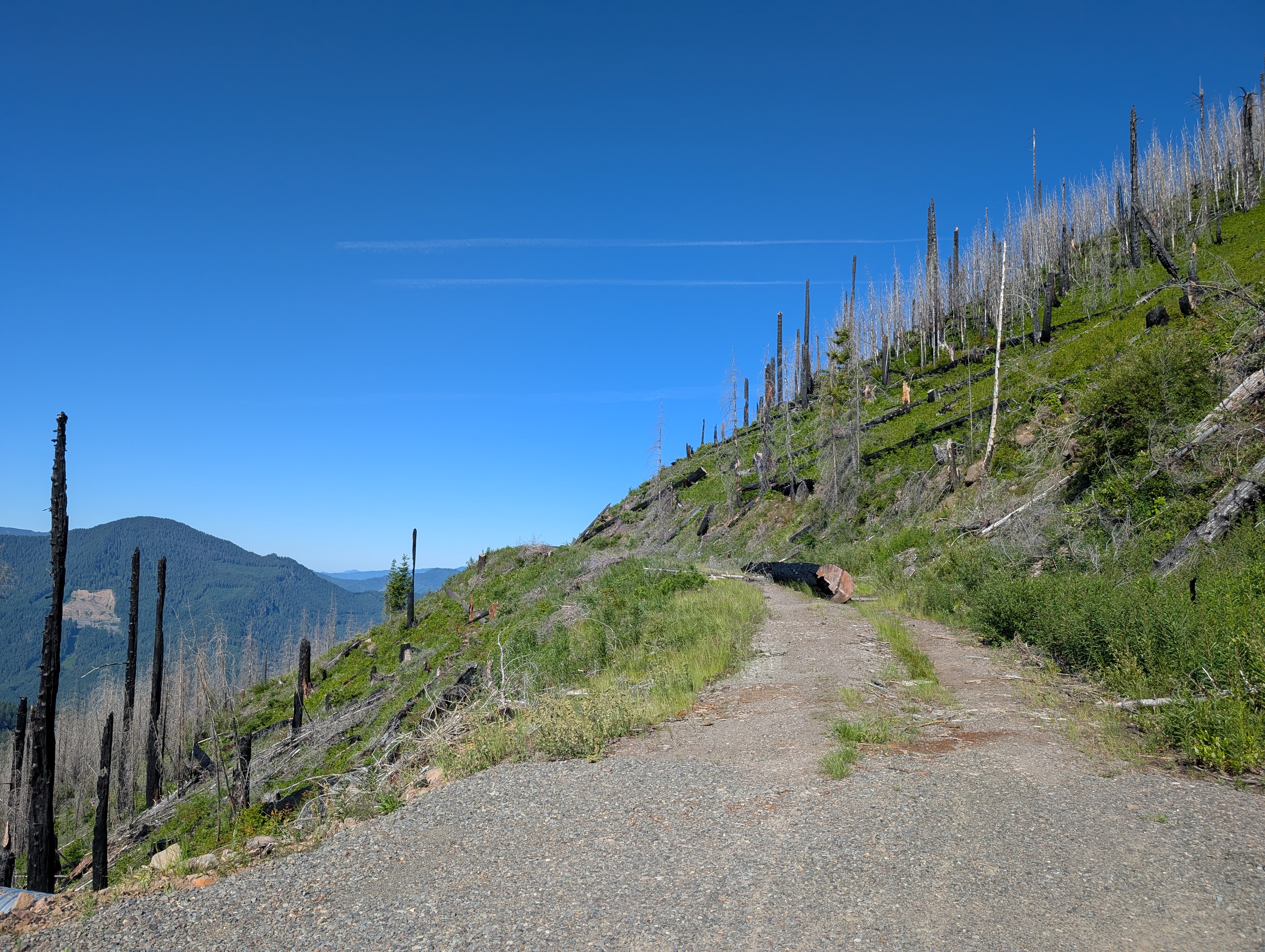
The spur trail itself was an unpleasant track, climbing about 320 vertical feet in a bit more than a third of a mile. Adding to the steepness were large logs and drop offs, along with thick brush, rocky spots, and unpleasant places to slip going up or coming back down. I had not been expecting this, having been told only it was steep with logs. That was true, but in this instance both the adjective and the noun needed emphasis. By the time we had reached the junction of the spur and Bunchgrass Trail, the Gaia app showed the junction some distance away, and we needed more bushwhacking to get on the trail, then get on the trail in the right direction, which was both uphill steadily and poorly defined for the next mile and a half, which would take us an hour, a disappointing pace.
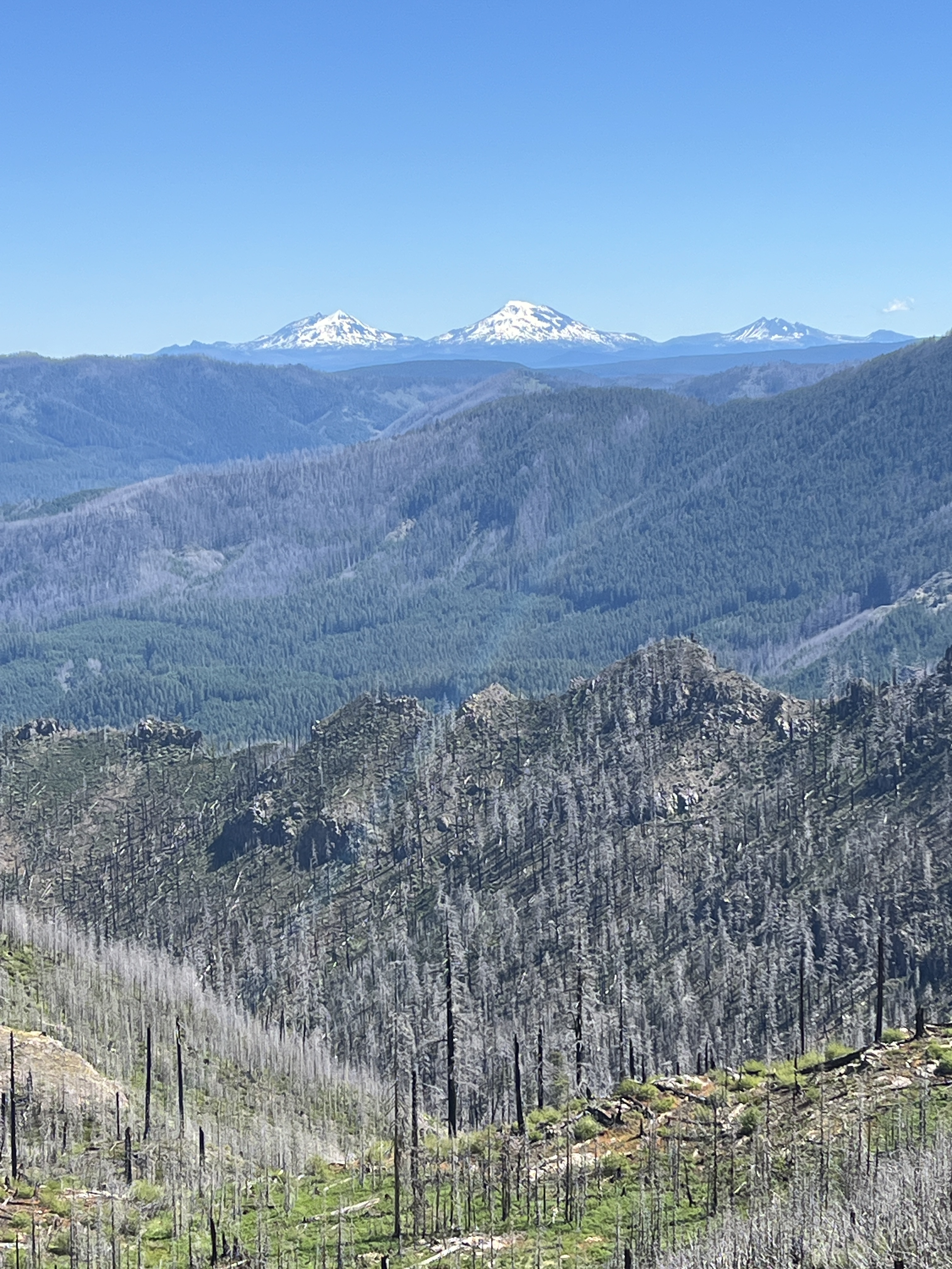
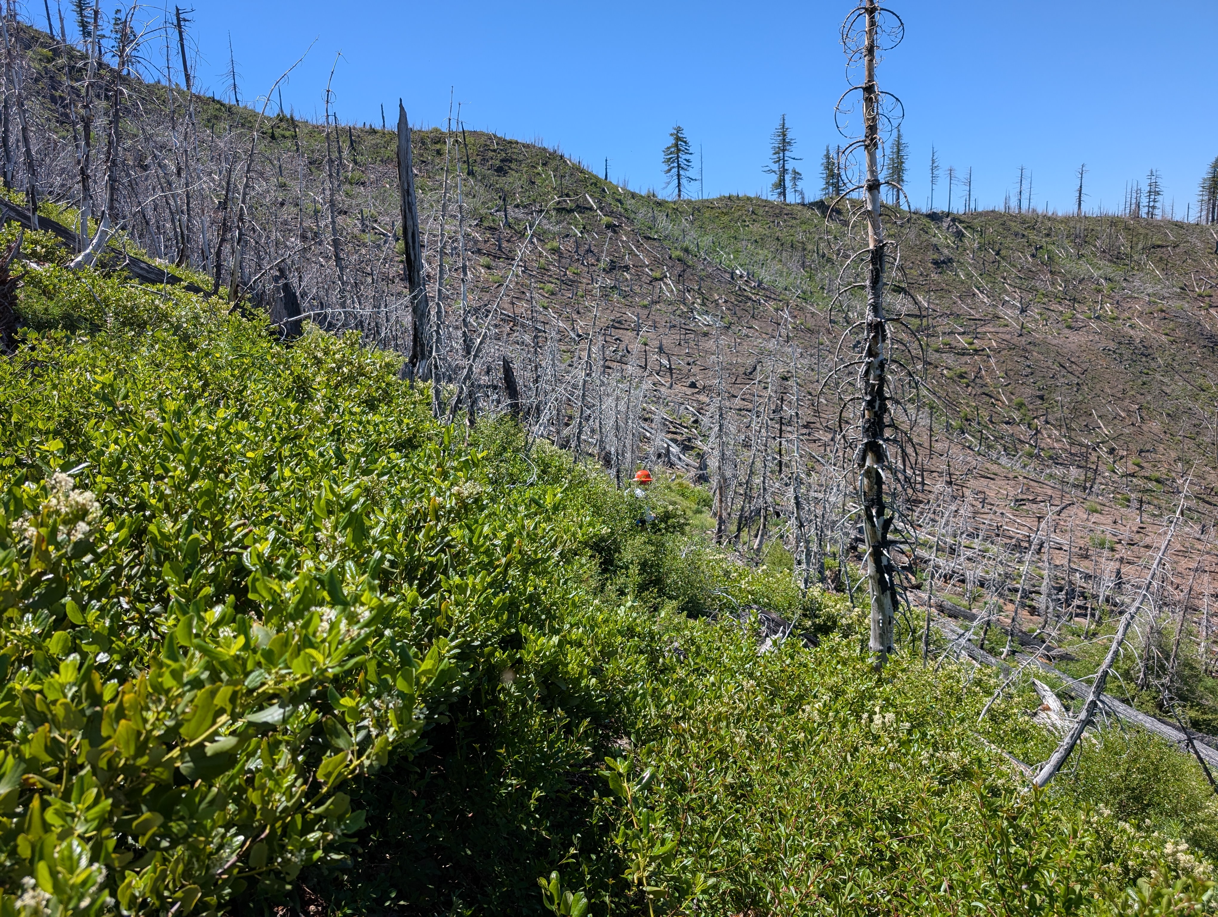
Eventually arriving at the top of what I call “The bowl,” where the trail drops 650 vertical feet into a relatively flat area for a couple of miles before exiting on the other side about 3 miles away. The distance was not huge, but the steep drop went through ceanothus plants hiding the tread beneath, where loss of tread was not uncommon, and not having any visible smooth tread for more than 50 yards continued. We did not improve our speed going downhill, and I once had hiked uphill on this stretch a few years back, when I had testosterone, and suffered. I was facing that for the return. We continued because from the GPS, it looked like we had a mile to reach where we went before, but when we reached a relatively flat spot 0.7 miles later, now it looked like a mile.
At that point, I called it, vernacular for saying no more. A mile further was probably an hour; two hours needed to return here. That is 2:30 pm after factoring in lunch. It might take an hour to get back out of the bowl and another hour and a half to get to the vehicle, assuming we could hike at the same pace we had been. On the plus side, after getting out of the bowl, it was mostly downhill. On the minus side, there was still trail finding to do, and we would not be hiking fast after the slow climb out. Indeed, I would later start cramping.
And the last 0.3 mile downhill through the place we had come up would be its own reward of sorts.
We scouted the trail, mostly, and we learned that we did not need a chain saw (good), almost the entire tread would need to be worked (bad), and the ceanothus had to be removed near the top (difficult to bring a power brusher in). The trail is hikeable, but riding a bike through it is another matter altogether.

Leave a comment