Archive for the ‘National Park Odyssey’ Category

NE OR SW?

November 26, 2022

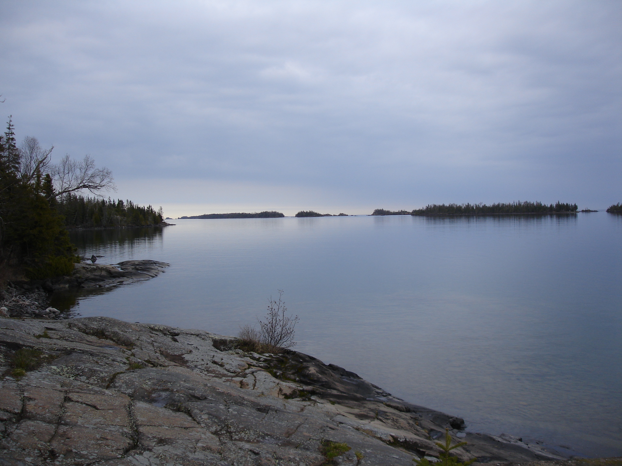
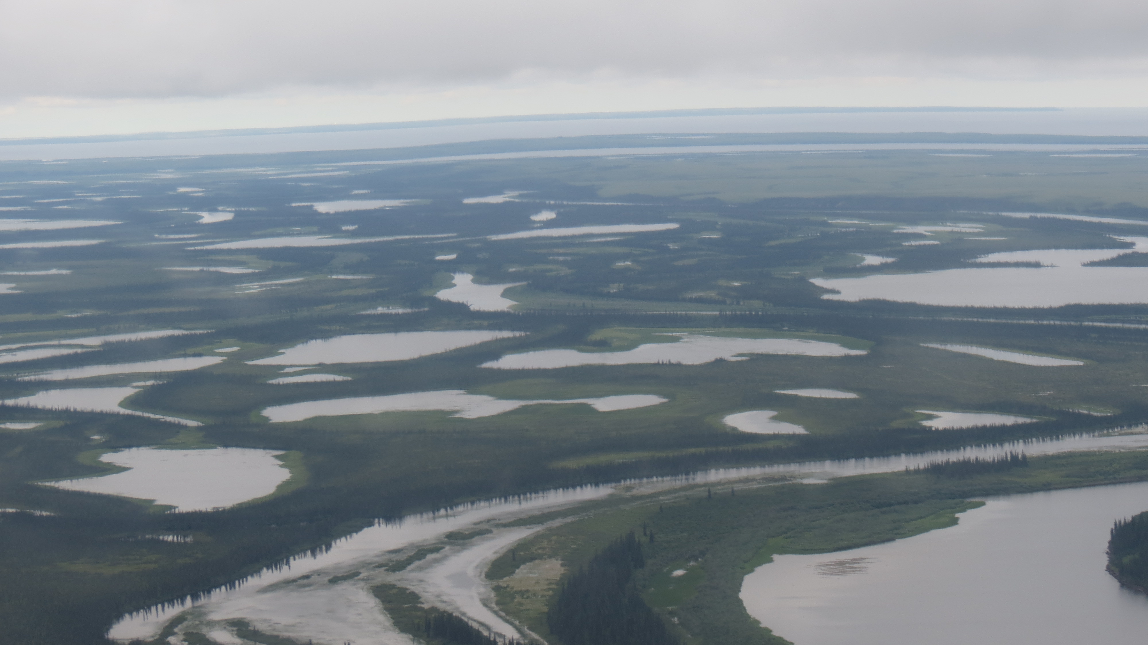
11 p.m. somewhere on the southwest part of Isle Royale, the national park island out on Lake Superior.  I am with the first group of backpackers for the season, and 12 of us are scattered over 207 square miles of roadless wilderness.

It’s cloudy and dark, but the rain has stopped, and there is no wind at the surface in the forest. I hope my mag lite will keep working. I have seven miles in front of me to reach Windigo, where I can camp, unless my light quits and I have to make camp on the trail. Pitching the tent in the dark will be a joy.  Won’t be the first time I’ve done that; a late start on the AT in Carolina and I camped right on the trail in the rain. I’ve heard that moose bed down near the trail, so I’m bit concerned about that, but mostly I have other thoughts on my mind. 

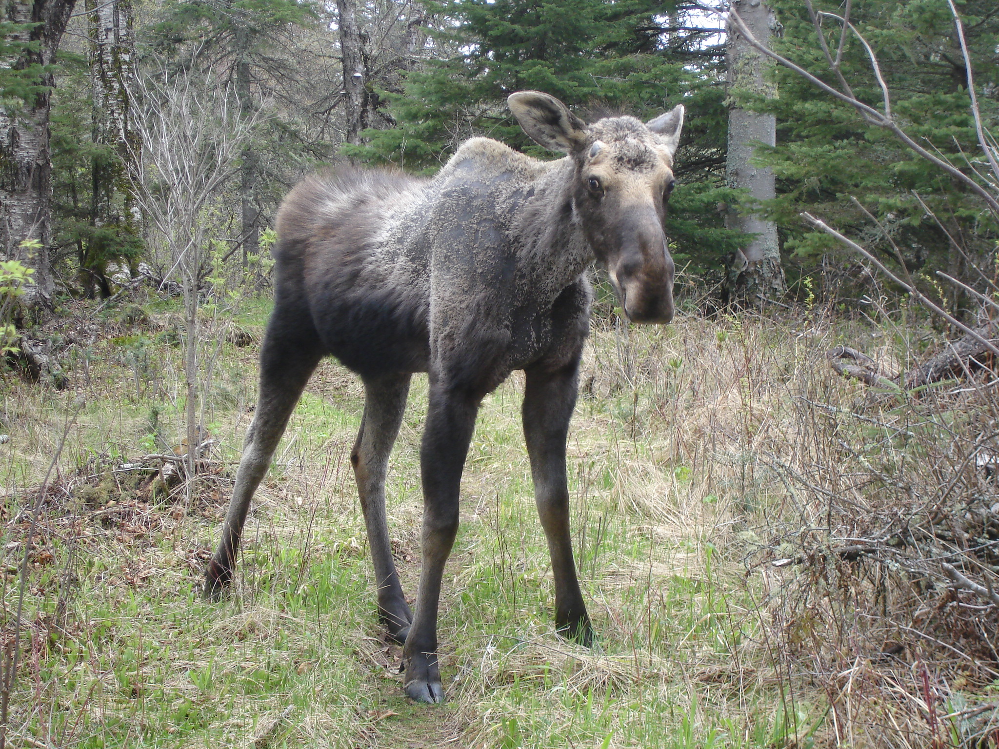
The thoughts are about what started 4 hours ago. I had hiked 10 miles to the campsite on Feldtmann Lake on the remote corner of the island, my last night. After dinner, I hiked over to the lake shore, encountering a young bull moose maybe 10 feet away, far too close. I backed off and returned to the campsite, not going to bed, but lying on my sleeping bag, just relaxing. It had been a long day, and my back bothered me, because a strap broke on my new pack, and it wasn’t carrying properly. 

I heard some thumping outside the tent, where I was supine, shoes off, almost dozing. One more thump, I told myself, and I’m going out there.

Thump. I put on my shoes, opened the tent and looked in front of me.  Nothing. I turned around, and 12 feet away, separated by only air, was a fully grown wolf. 

“Oh. My. God. “ I said. What I was seeing had been for decades at the top of The List of things I wanted to see.  But like this?   The wolf and I stared at each other, and he slowly circled the campsite for the next 5 minutes, looking up at my hung pack. That was the thump I heard. He was jumping at it. Then, one second he was there, the next, gone. 

At the time, I intellectually knew there was no documented case of a healthy adult wolf attacking a person. That’s fine to know, but it means little when one is ten trail miles from the nearest person, it is about to get dark, where there was no reception even if one had a telephone, which I did not back then. No way I was staying there and—yes, admit it, getting eaten—so I packed up everything, and shortly before sunset through an overcast sky, was on the trail out of there at 8:45.

I thought it might be light enough in the woods, because it was May, and it stays light longer, but not in the middle of the forest on a cloudy night. The trail was easy to follow, and I only had to worry about moose that might bed down near it. I made decent time, despite my having already hiked ten miles and doing another ten. I was still excited about having seen a wolf in the wild, a long viewing far beyond my expectations, but a bit scary, too.

I approached a large jackstraw of logs in the middle of the trail and started to pick my way around them. The group was large, and I kept going around until I finally found the trail and started hiking normally again. A few minutes later, something didn’t feel right.  I’m analytical to say the least, and while I don’t pooh-pooh gut feelings, I like to have hard evidence. Then again, this evening, I went with my gut feelings and got out of that campsite. What I was feeling now was every bit as disquieting. 

Am I going back the way I came?

I generally have good trail sense, but I have gotten turned around before, remembering the afternoon in Carolina on the AT in ’99, when after resting, I started hiking again and after fifteen minutes encountered a road. There wasn’t supposed to be a road, I thought, about the same time I recognized a large rock near where I had encountered a snake an hour earlier. I had turned around and walked back the way I had come. I was so freaked out by my mistake, I ran probably a half mile back, continuing another couple of miles before making camp for the night. Yes, I can get turned around.

I was so seriously enough concerned about my situation that I took off the pack and opened the pocket where I kept the compass, something that I have almost never used on the trail. I always put the compass in, but I never really think I will need it. I needed it now in a big way, or I was going to be sleeping on the trail right where I was.  I took the compass out, didn’t worry about the declination correction, which wasn’t much anyway on Isle Royale, held the dial away from me.  I was on a long straight stretch of the trail leading now to Windigo, and I asked it one question: am I facing SW or NE?  The mag lite was in one hand, the compass in the other.

I can still see “SW” on the dial. I had turned around. 

I put the compass away, told myself I was stupid, but at least no longer lost, turned back around, and started hiking again. Sure enough, in about 10 minutes, I again reached the jackstraw, this time walking around and looking more carefully for the trail, which was there sure enough, heading NE. I eventually reached Windigo at 1:30 am and pitched the tent well enough to fall asleep on the lawn at the Ranger station. 

The next morning, I saw that I was about 50 feet from several 3-sided shelters, all of which were empty.

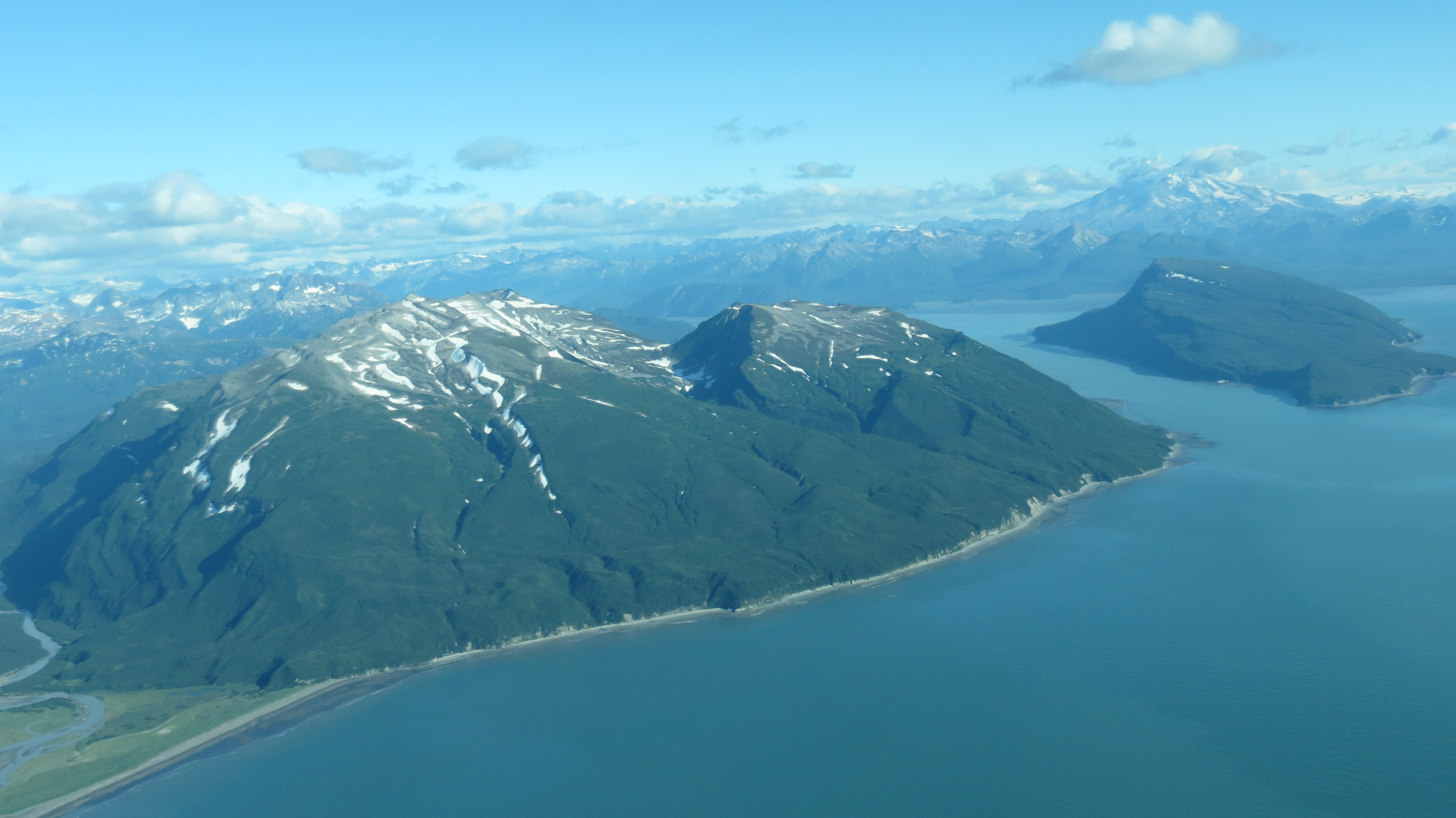
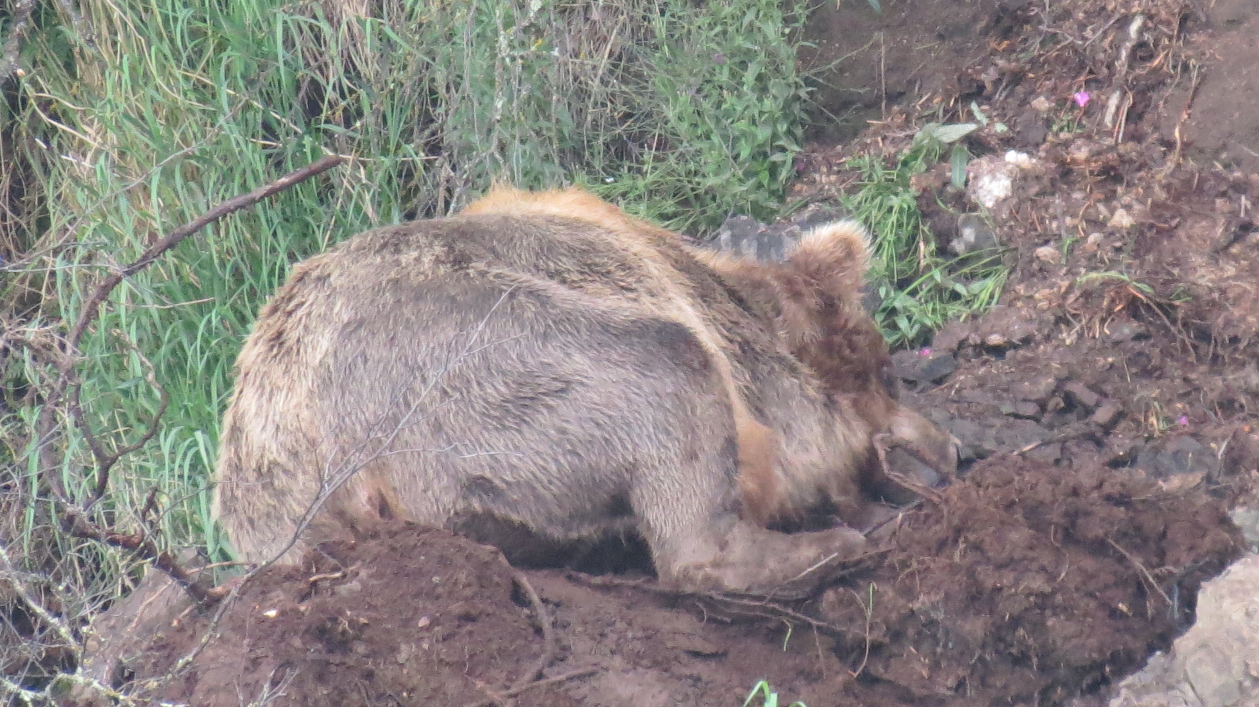
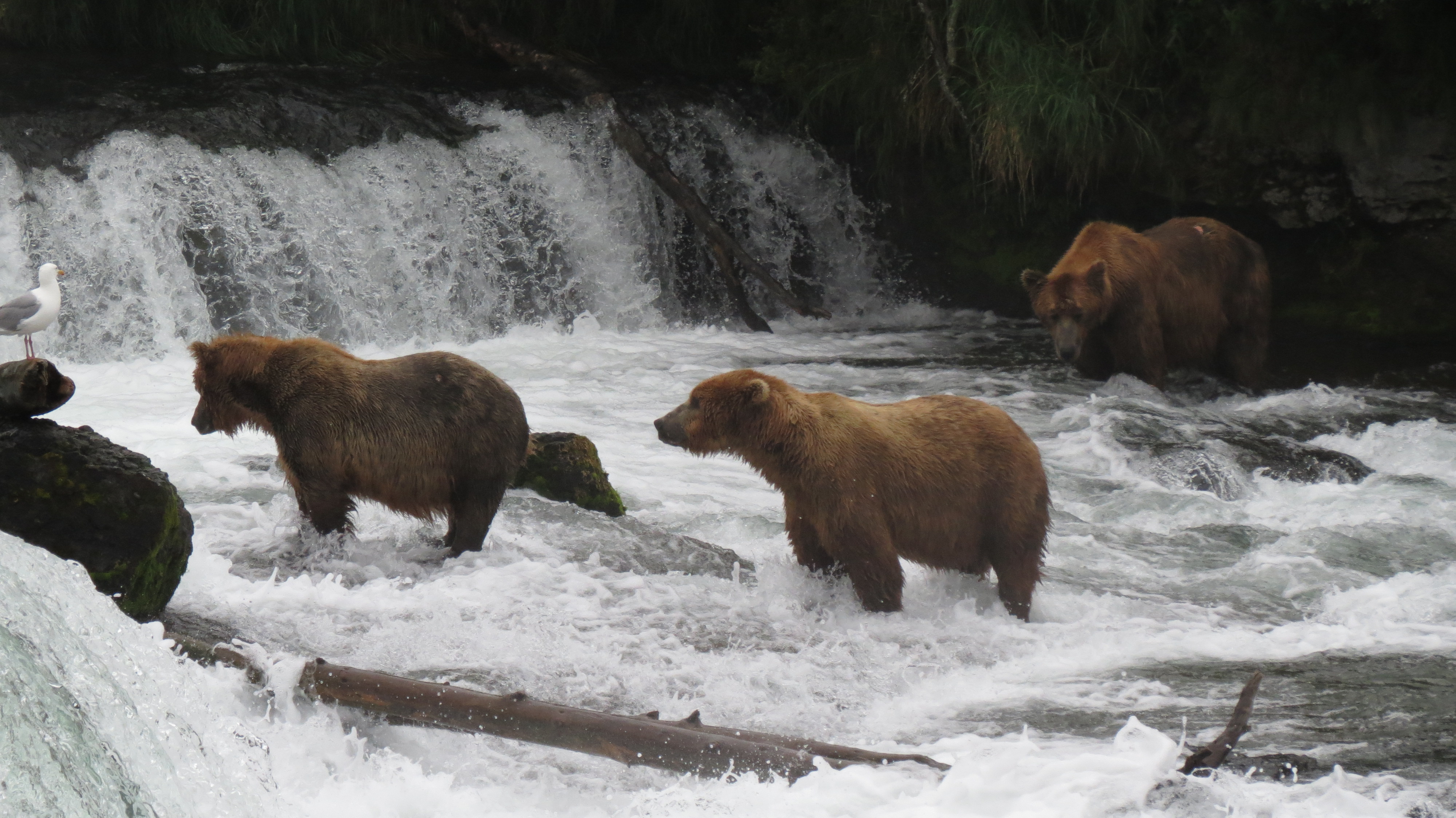
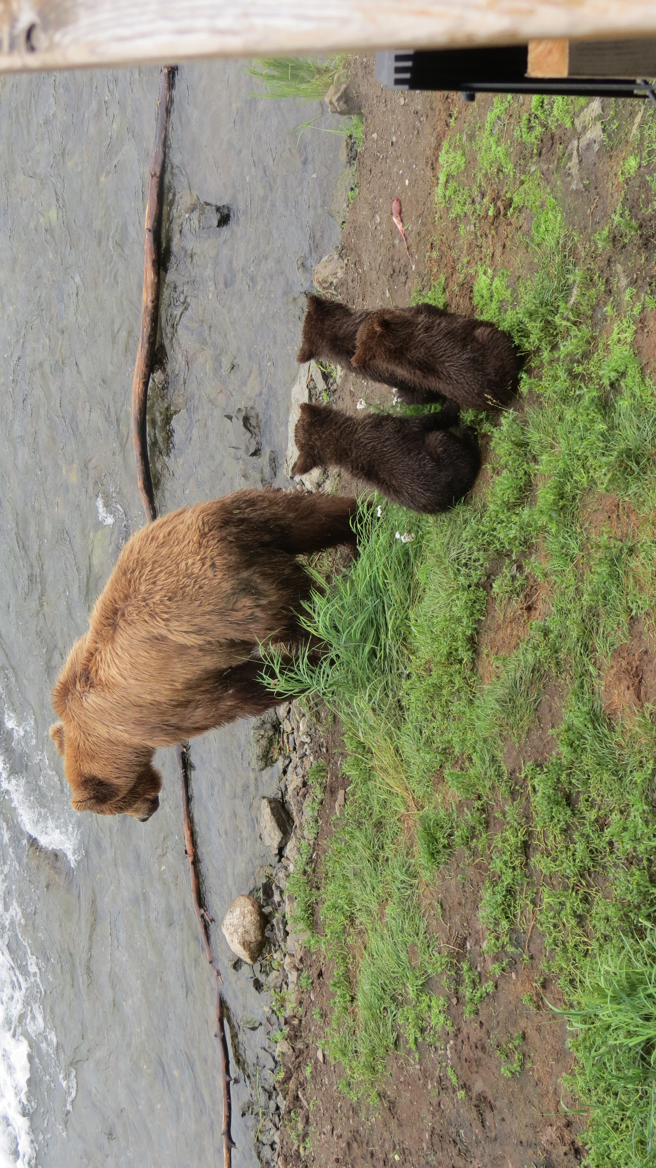
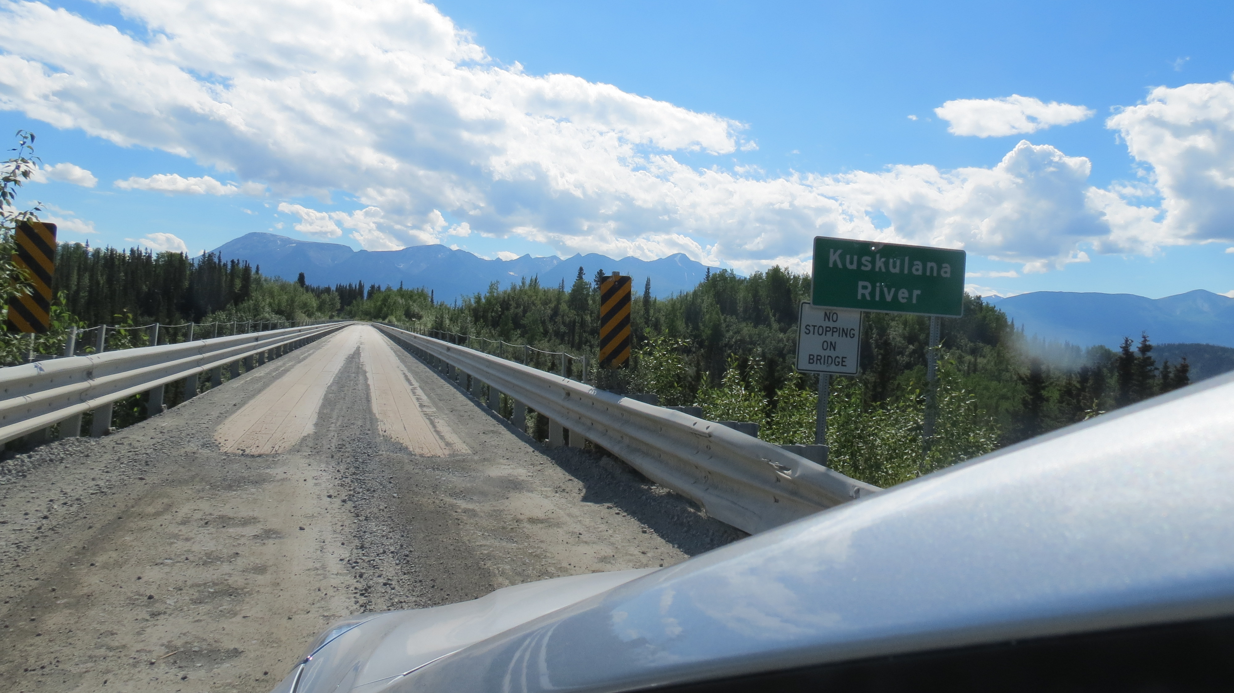
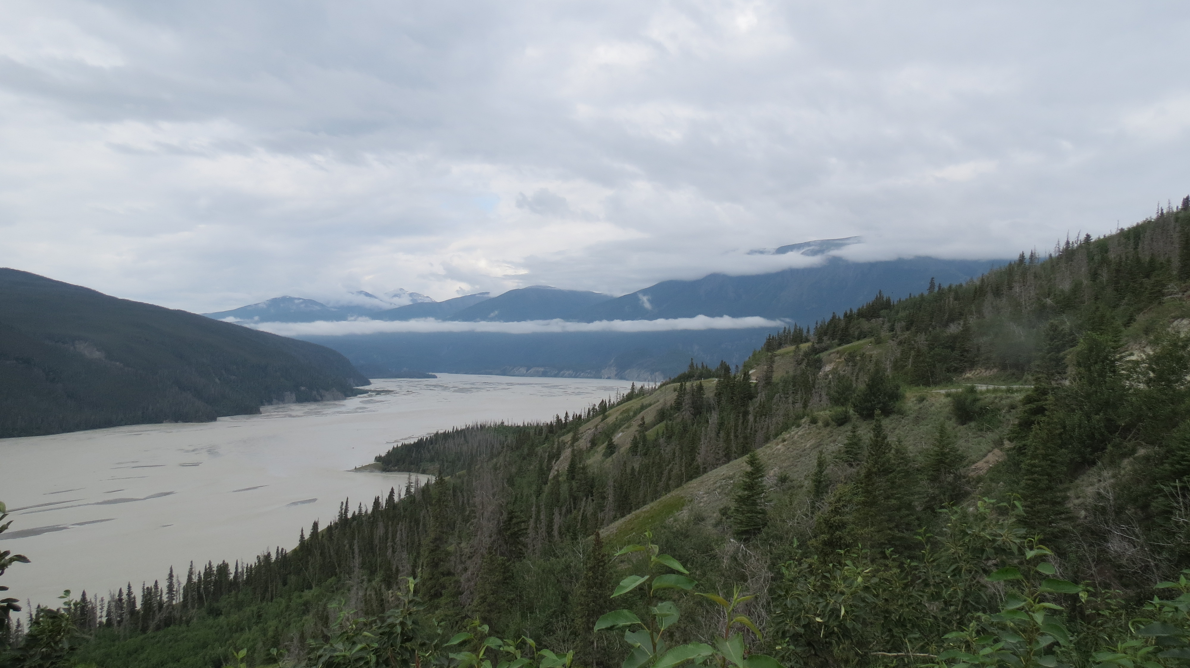
Pictures from Isle Royale (2006):
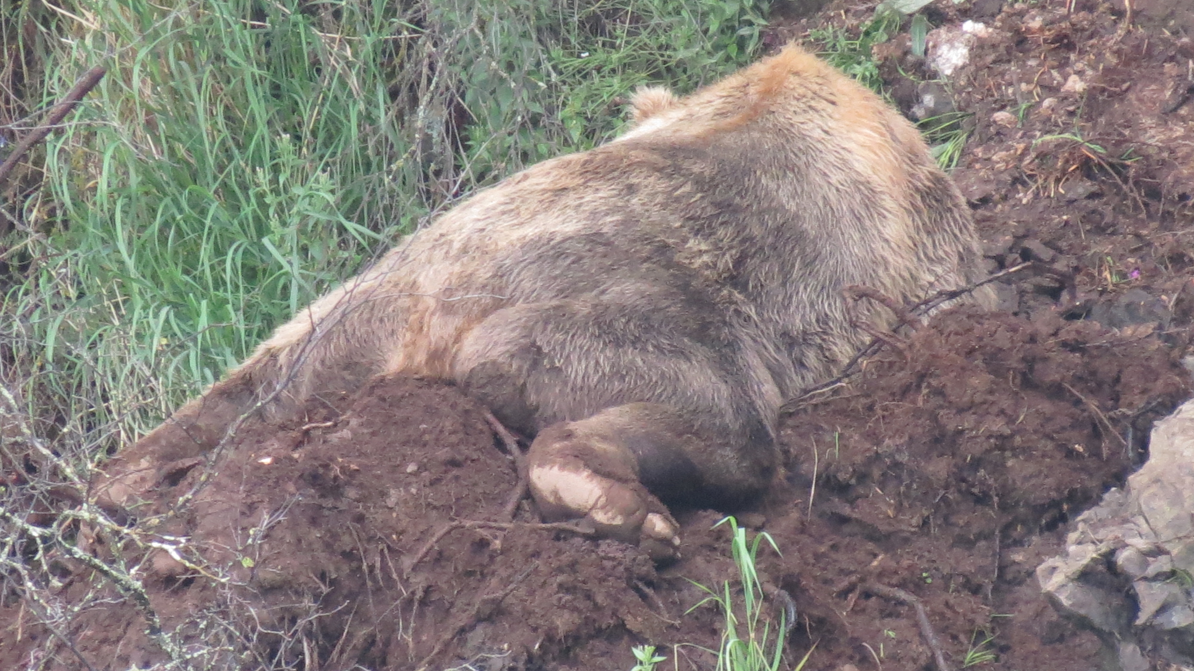
TICK, TOCK

September 10, 2013

Tick, tock, TICK, TOCK.  In the past year, my internal clock has been ticking louder.  It’s telling me get out in the woods more, do the things I want to do, see the things I want to see, now, soon, this year, maybe next, but not put them off.  The sound is reminding me again there are no guarantees in either longevity or health.

I’ve always had a clock, but I didn’t hear it much for many years, when I had my neurology training.  I saw sudden catastrophic neurological conditions, many times in people who had just retired.  I started to hear the clock again.  Two young colleagues died in accidents within a few weeks of each other back in ’92, and the sound became louder.  An inner voice told me, “There’s a cost to taking a leave of absence to work for the Forest Service in the canoe country, Mike, but there is a cost to waiting. Go now.”  I didn’t wait until was 65, which I will soon be. I went early and never regretted it.

The same time, I made “The List,” years before “bucket lists” and “1000 places to see before you die,” many of which I neither need nor want to see.  The List is for me.  Others don’t need or want one.  That’s fine. I do.

In my 30s, life was busy, too busy.  I practiced medicine, chronically fatigued, interrupted, sued, and hurried until I finally got out at 43.  I had other jobs, went back to school, got a degree, couldn’t make a living at it, and started volunteering, to give my life more meaning.  I tutored math for 9 years, taught a man to read, led birding tours in the neighborhood, and removed buffelgrass.  I published articles.

One day, I happened to see The List, which had languished in a drawer.  The first item was “See the Sandhill Crane Migration in Nebraska.” I had put that one off for a decade. In 2004, I  told my wife and father that I was going, and they were welcome to accompany me, but Nebraska weather in March was unpredictable.  We all went and had a good time; I was transformed.  I am now a volunteer tour guide at Rowe Sanctuary and for 6 years have showed others the migration.  It is one of the top 4 sights I’ve had in nature (total solar eclipse, seeing a wolf in the wild, and Katmai bears are the other three.)

I chased a few eclipses in some unusual places, and indeed, seeing the next total solar eclipse became a permanent member of The List.  In 2005, I added a new item:  see all the national parks.  In December, I drove 550 miles to Guadalupe Mountains NP and climbed Guadalupe Peak the same day.  I was told it would be too windy up there and too dark before I got down.  I went anyway.  For 15 minutes, I was alone and atop Texas.  It was dead calm.  I got down just as it got dark.  Great hike. Eight years later, I have eight parks left to see.  The 19 trips I’ve taken, my odyssey, has been one of the best things I have ever done, carrying me into 13 states and 23 new national parks.

In the winter of 2007, the ticking became really loud, as it does when I fail to get outdoors enough, so I looked at The List and read: “See the Arrigetch Peaks”.  Oh yeah.  That one. These mountains, some of the most unusual in the world, are in the Brooks Range of northern Alaska.  I was 58; I wasn’t going to be backpacking forever.  I have a neck I have to take care of, and anything else could suddenly fail.  I wasn’t expecting problems, but I heard the clock:  GO!!  I  went the next summer.  The hike was the toughest 20 miles I have ever done, but I saw the Arrigetch.  It is one of the top items on my “Outdoor Resume,” which I keep for myself, although others may certainly look at it.  I am not competing with anybody, only fulfilling my dreams.

After that,  I planned my trips on a regular basis.  Hiking the entire Appalachian Trail is on The List, but I don’t plan to do it; there is too much else, and the AT requires too much time.  I’ve walked the southern 528 miles and hiked 20 miles in a day (another list item) 9 times, once 3 days in a row.  Damn, that was fun.  Maybe I should reconsider.

High above the Dalton Highway, just south of Atigun Pass.

Dall Sheep, Aichilik River headwaters, ANWR, Alaska.

TICK TOCK. I wanted to see the eastern “Gates”, Gates of the Arctic NP.  My guide and I bushwhacked in from the Dalton. I carried 75 pounds up a monster hill with a 20% grade, went over Oolah Pass two days later

Oolah Pass and Lake

Oolah Pass and Lake

in a cold, pouring rain, up other steep hills, in rivers,over moraines, through incredible valleys, to Summit Lake.  We got picked up by float plane.  Hiking is better, but to fly over this country is incredible.  We flew between Frigid Crags and Boreal Mountain, the “Gates” of the Arctic”, named by Bob Marshall.

Summit Lake, Gates of the Arctic NP, on the continental divide (1200 m)

Summit Lake, Gates of the Arctic NP, on the continental divide (1200 m)

I now think that perhaps this hike was harder than the Arrigetch.  I thought it would be my last backpacking trip, but my guide told me about doing ANWR again. I remembered the wildlife on the  in 2009, got that faraway look in my eyes that said I needed to go back, know I won’t be happy unless I do, and that is on for 2014.

TICK TOCK.  Mike, you saw Alaska, but you need to see those parks.  This year, I took three week-long road trips.  I love planning these.  They were tough, but I did what I set out to do in each one.  The first one took me to Mammoth Cave, KY; I spent time with the Friends of the Boundary Waters in Minneapolis, went to Ely, winter camped solo, gave three scholarships at Vermilion Community College and came home.  The clock’s ticking was quieter.  I got into the woods.  Alone.  In snow.  And did fine.  It was one of the smartest hikes I had ever done, probably because I knew I had little margin for error.

My footprints in Kobuk Valley NP Sand Dunes (greater)

Noatak River, near the western edge of Gates of the Arctic National Park. Looking east.

Three months later, I saw four Alaska national parks.  I spent three nights after 1 a.m. in the Anchorage airport to do so, but I flew into Kobuk Valley National Park,  drove 7 hours to Wrangell-St. Elias and back, flew to Katmai and later to Lake Clark.  Great trip, but I missed hiking with a pack. Go back to ANWR one more time, Mike, go while you can.  If you’re lucky, you can raft the Killik, Nigu, Hulahula or Kongakut Rivers some day, to add to your paddling the Alatna and the Noatak.  Maybe do all of them.  Tick Tock.

A month later, I flew to Rochester, New York, my home town, to see it one more time.  The next day I was in Cleveland, seeing Cuyahoga Valley National Park.  With a bad case of the GIs that night, and beginning a nasty cold, I drove from there to Algonquin Park, Ontario, for Camp Pathfinder’s 100th anniversary, where I learned to canoe, and did a day loop trip in Algonquin.  Being underway in a red canoe

Red canvas canoe that Pathfinder uses.

Red canvas canoe that Pathfinder uses.

that dented my knees  from kneeling on the ribs and planking was part of the thrill.  Pathfinder bowmen didn’t sit in the bow seat.  I even carried the red canoe a mile.  I texted that feat to my wife, and she simply replied, “Why?”  It mattered.

Day trippers at Little Island Lake, Algonquin Provincial Park, Ontario. I camped at this site 50 years earlier. I am in the blue in the back.

I didn’t know if I could get the 90 pounder on my head, but wisdom is more important than strength, and the canoe went right up. Then, of course, I had to carry it the whole way.  It’s not a man thing; it’s a Pathfinder thing.  I wore red there; to wear red and carry again was deeply satisfying. After Pathfinder, I drove to Ottawa to see a good friend.  He took me over the Chilkoot twice, introduced me to the big waters of the Far North, the Yukon and Nahanni Rivers, and we’ve been in the Quetico.  Lot of water under our keel.  He’s got me interested in seeing Western Australia, and he is nearly 70.  Tick tock.

Tick, tock, tick, tock.

I’m trying to learn two languages, too.  Tick, tock.  Will you ever be functionally fluent in German and Spanish, Mike?  Tick tock.  Are you getting out enough?  Tick tock.  Do you notice how easy it is to get stiff and sore?  Tick tock.  Do you remember your miserable illness in 2009, when you almost were housebound for 4 months?  Tick tock.  Are you teaching enough?  Tick tock.  Are you loving your wife enough?  Tick tock.  Are you caring for your animals?  Tick tock.  Do you look at the maps on the wall and wonder how you are ever going to see all that country before you die?  Tick tock.  Does it matter, if you can just get to the places you love again?  Tick tock.  Are you able to say every day, “If I drop dead now, I will have lived, loved, done good, and been worthy of calling myself a human being?”

Tick tock.

ELDERS

September 1, 2013

“We have a Michael Smith booked tonight, but he’s from Washington.  We don’t have a reservation for you.”

It was 11 p.m. in Anchorage, and I had been looking forward to a quick shower and getting to bed, after the flight down from Kotzebue through Nome.  I had a seat mate who kept jabbing me, her husband fell asleep (lucky him) and she didn’t want to leave the row at deplaning.  I got behind two women who were slow going up stairs, and each took one side, together blocking the stairwell.  It had been a long day.

The women were elderly, and I said nothing.  At my hotel, I was stunned at the news, and all other rooms were booked in the city. The night manager had no suggestions.  I looked outside for a place to sleep, but I camp in the woods or tundra, not cities.  I finally thought of one place where people sleep without being arrested–the airport.  I took the shuttle back to the airport, and the young woman driver was a bit sharp with me.  When she spoke, I was slow to respond, because I was tired, trying to solve problems, not create a scene.  Her loud: “Hellooo?” didn’t help.

It was a long, short night.  I heard: “It’s one thirty,” “two thirty,” and “four thirty” on the loudspeaker.  I got up at 5 to the sound behind me of people shuffling in line to check in at a counter.  Embarrassed, I collected my gear and went to the men’s room to clean up.  Fortunately, I slept in my clothes; unfortunately, I really needed a shower.  I called the hotel to send the shuttle, and the same young woman came to pick me up.

“Do you have a room?” she asked.

“Nope.”

“Then why did you call the shuttle?” Her tone was angry.

“Because I felt like it.”  I replied, a little annoyed.  She knew that I had been at the hotel and might have a reason to go back.  I was thrice her age; I didn’t know if this was power over somebody, gender, race, my age, or she was just having a bad day.  I was wise enough to stay silent.  As a 64 year-old guy who just got 1 hour of sleep on the floor in the Anchorage airport, with a 7 hour drive ahead of me, I tried to be polite.  Treating elderly people with respect mattered when I was a kid, and I resent it when young people treat me with disrespect.

I am more than elderly.  I consider myself an elder, and the women at the airport who went up the stairs slowly I considered elders, too, which is why I didn’t yell at them to move faster.  Elders have lived long, have wisdom, listen a lot, and are willing to change their beliefs in the face of new evidence.  I qualify on all counts.  Some call it “being young,” which is fine.

When I got to the hotel, I was given a room, then asked to pay for it–full freight–until check out time 5 hours later.  I almost signed the sheet, not because I would pay for it, but it was going to be billed to the other Michael Smith, the guy from Washington.  But that wouldn’t have been honest. Elders must be honest, too.

The manager of the hotel was present and let me use of the room and shower for free.  I used two towels, leaving the room otherwise untouched. Subsequently, I spent two more nights there, in a nice room with a big discount.  That is why that woman is a manager.  She problem solves and knows that a customer who gets treated well after a bad outcome is likely to choose that place to stay the next time.  Indeed, I shall.

She was an elder, too.

I think the Native Alaskans were on to something.  Not only did the they clearly adapt their lives to the seasons, far better than we do, and existed a lot longer than we; their belief system respected elders.

I grew up told to respect elderly people, not all of whom were elders, but many were.  I was to listen and be polite.  Many elders taught me; I would have learned more if I hadn’t been a know it all kid, although I wasn’t a total loss.

I respected my parents, and my mother, a feminist before the word existed, and against segregation long before most of the country was, told me to treat all people with respect.  Making my parents proud of me was important. I didn’t always succeed. but I did when they began to die, and I had to become a parent to them.  They were not only my parents, but elders, people who taught me, people who deserved respect.  I had to help them exit this world with dignity, which I did, the second best thing I ever did in my life (marrying my wife was the best).

Yes, the Native Alaskans got it right.  The picture below was taken in the Headquarters for Kobuk Valley National Park.  The building is in Kotzebue; the Park 100  air miles east, barely reachable by water, not at all by land or roads, so I went by air.  It is noted for its sand dunes, which came from wind funneling between two glaciers millions of years ago, picking up silt and depositing it. I saw it, my 45th Park, and was thrilled to walk on the dunes.

But what I did not anticipate was far more important: to understand better what an elder is and the responsibility they have to pass their wisdom to the next generation. I needed to see Kobuk Valley, the Visitor’s Center, have a hotel reservation cancelled, and sleep on an airport floor for all this to happen.

Kobuk Valley Visitor’s Center; Kotzebue, Alaska

CUYAHOGA VALLEY NATIONAL PARK

August 21, 2013

Cuyahoga Valley National Park is just south of Cleveland and close to three interstates.  Despite the proximity to noise and people, the place is quiet, and there are many miles of trails.  I chose the Towpath Trail out of Boston, walking it for about 5 miles and back.  There is a lot of bicycle use, and the trail is popular with runners, too.  There is a river, several large ponds, some marsh, and old locks along the trail.  An old paper mill is there as well.

For those wishing to do a one way hike, shuttle service exists for some of the trails.

There is a small store run by volunteers in Boston; I did not go to other parts, deciding to eat and then walk where I was.  There are many interconnecting trails, and for mountain and even road bikers, this would be a delightful place to be.  For runners, walkers and picnickers, this is a lovely place.

River view and Highway 8 bridge

Typical trail view

IMG_3619 IMG_3618

Footbridge that was removed, sent to Elmira in 1992, restored, sent back, and rebuilt!

THE LADY IN THE STYLISH BOOTS

July 29, 2013

“Oh, those damned government regulations.”

I looked towards the voice, that of a fortyish woman, with stylish boots, dyed blonde hair, and a southern accent, who was talking to a park ranger at Katmai, 400 km southwest from Anchorage, and a long way from any part of the lower 49.

I almost let her have it, because rangers have to be nice, I don’t. I’m an elder in my society, and I was a lot more in my environment than she was.  I was wearing boots that had walked the over peaks in the Brooks Range, in Kobuk Valley’s sand dunes, both above the Arctic Circle, in Alaskan rivers, and on tussocks and ice.  Hers had probably just spent their first time on a dirt trail.

At Katmai, there are two viewing platforms at Brooks Falls, the lower, where one can go as long as one wishes without waiting or time limits, and an upper, where 40 people are limited to one hour, then have to get into line again for another hour, should they wish to see more.

Brown bears at Brooks Falls, Katmai NP, Alaska

There is a question, and I think a good one, whether we should be having people view the bears in the Brooks River feeding on salmon.  We don’t know what effect we are having on the bears.  Perhaps none.  Perhaps a lot.  Katmai is pretty enough without having to see the bears close up, but most go to see the bears.

The upper platform, next to the falls, has more fish, and that is where the males, and the big ones, congregate, so people want to go there.  Forty are plenty.  Put 50 or 60 there, and the last 20 aren’t going to see much.  I waited for 20 minutes when I arrived, spent an hour at the upper falls, left, got back on the list again, went to the downstream viewing area a second time, skipped lunch, and waited my turn to go to the upper falls.

The downstream viewing was great.  I saw a bear sleeping in the mud on the other side of the river and pointed him out to others.  A bear ran right under the walkway with a salmon, off into the woods to eat it.  There weren’t many people talking, and within 45 minutes, I was back at the upper falls.  That wasn’t a long wait.

Bear napping in mud, Brooks River, Katmai NP

Bear taking salmon into woods

That second time was special.  I saw a boar chase a cub up a tree.  When the boar left, the mother came with two more cubs and soon all 3 cubs were in the tree.  Later, another sow with spring cubs, much smaller, appeared.  The whole time, several bears were fishing the river.  I had a good time and as I left the check-in station, I heard the woman complain.

Sow with her 3 cubs.

I almost let her have it. But being an elder means having wisdom, and I knew I would be more emotional than wise if I said anything to the woman wearing the stylish boots.

I would have started with the failure to properly regulate flights properly over another national park: the Grand Canyon.  On 18 June 1986, a helicopter and a fixed wing collided over Tuna Creek, killing 25, many of whom were Dutch tourists, who likely burned to death before they hit the ground.  The FAA stepped in.

I would then have asked how much better off we might be today had we regulated the financial industry, so that people who almost took down the world’s economy, which is still struggling years later, got bonuses that themselves were in the top 0.5% of US income.

I might have asked her to imagine Katmai as a private park with a bus to the viewing platforms, so people wouldn’t have to walk 1.2 miles, selling tourists a salmon, then putting them on a tram over the falls, so people could look down and drop salmon to the bears, getting that “special” picture to post on their wall.

Ten years ago, during bear hunting season, many people went into Lake Two in the Boundary Waters without permits.  It’s an easy lake to get to, and surprise–people don’t always regulate themselves.  When my wife and I tried to camp there, with a permit, coming the other way, we were tired, disappointed, and angry that the lake was full.  We had to paddle a lot further before camping.  Afterwards, rangers were posted at the entry point to ensure people had permits.  Regulations make it possible for me to have my rights protected, too.  Even with rules, parks get trashed; without them, I shudder to think what would happen.

She probably would have screamed at me if I asked when a person’s right to own a firearm interfered with my right to be safe at my local Safeway, where Gabby Giffords was shot. Yes, I know, guns don’t kill people, people kill people, because if they are angry, it is easy to move a finger without thinking of the consequences.  Using a knife or a fist makes it a lot more personal, risky to the attacker, and requires enough time where maybe somebody can think “I shouldn’t do this,’ which is what I did before telling the woman in stylish boots what I thought of her.

All but forgotten now, the memorial to the 6 killed and 19 wounded in Tucson. Just a question: When was the last time you heard “Newtown”?

I’d like to know what the lady would think of regulating food quality and safety, something a good looking congressional candidate from my district wanted to do away with, since he had never had seen a case of typhoid fever or hepatitis, or a child die of shigella or salmonella.  That candidate scared the daylights out of me and missed winning the seat by 4,000 votes, because people were angry about the Affordable Care Act, many of whom were on Medicare or military retirees, ironically receiving government funded medical care.

No, lady, we regulate our public lands, because if we don’t, they will be lost for all time and be turned into money makers for a few.  The forests will be cut, the land mined, the water ruined, the silence gone, the animals gunned down.  I’d conclude with: “What about my rights and the rights of those who have yet to be born?”

I wonder whether she would kick me with those stylish boots.  Or think.

KATMAI

July 26, 2013

Katmai National Park is for bear viewing and the valley of the 10,000 smokes.  I didn’t see the latter, but I did get to the former, and the bear viewing was spectacular.  Located about 220 nm SW of Anchorage, it is reached by float plane, with about an hour and a half ride over rather spectacular scenery.

Scenery on flight to Katmai

One arrives at Brooks Lake, and gets off the float plane on the floats.  There is a short walk to the visitor center, where the ranger talks, and there is a good 10 minute video on dealing with bears.  These are not the same behaved bears as in the Brooks Range, who have likely never encountered people.  These bears are near people, but so long as people stay on walkways, there shouldn’t be much of a problem.  The bridge over the Brooks River can be closed if there are bears in the vicinity, however, and bears are unpredictable.

The area for viewing has a lower and an upper platform.  The downriver or lower platform is open without waiting, and the smaller bears tend to congregate there.  The upper platform has room for 40, and one may stay no longer than an hour.  However, after one leaves, they may immediately put their name on the list to go back.  I did just that and spent an enjoyable 45 minutes at the lower platform seeing one bear sleeping in mud and another carrying his prize catch back into the woods.

Brown bear sleeping in mud.

Look what I caught!

The upper platform has a great view of the falls and bears will walk under the platform.

Some of the bears at the upper falls viewing area.

Fishing from the top.

The highlight was a cub chased up a tree by a big boar, who barely missed him.  Young bears until 3-4 years of age can climb, but older bears fuse joints necessary to climb and no longer can.  After awhile, the boar left and the sow returned with 2 siblings, sending them up the tree as well.

\ Literally climbing for his life

The reason.

Mom at bottom.

Two.

The third.

Mom with spring cubs.

The three cubs did come down from the tree, Mom got them a salmon from upriver, and they disappeared into the woods.  It is difficult to know how many will survive.  There is a lot of food, but there is also a lot of predation.  The spring cubs got a much later start, and it will be less easy for them.

We don’t know the effect of human visitation has on the bears.  Hopefully, it is not significant.  The day was spectacular, and this is a park I definitely want to see again.

WRANGELL-ST. ELIAS NATIONAL PARK

July 21, 2013

Wrangell-St. Elias is the largest park in the US, and conjoined with adjacent Kluane in Canada, the largest area of protected land on the Earth.  The park is difficult to get to.  For those who want to set foot into it, you can’t–without a significant drive or a day on a bicycle.  It is 7-8 hours from Anchorage up the Richardson highway, which has a lot of no passing zones on the first part and construction with flagmen on the second part.  Then, one takes route 4 south about 30 miles.  The visitor’s center is along this road, but you are not in the Park.  You turn at a sign that says Chitina 33 miles, McCarthy 93 miles, and the distances are accurate.  The last 60 to McCarthy is on a dirt road, which is better than it used to be, but the first 10 miles aren’t great.  Plan on 35 mph after that, and watch for those who are doing 45 or more coming the other way.  You end at a river, where you park for $5 a day, and call a lodge to bring a vehicle down to pick you up.  It is about a half mile walk, and camping is allowed at the river for $20 a night.  The town is not in the Park, but one has passed through the Park and Preserve many times on the drive in.  The town is lovely, quaint, and the food/lodging good.  It’s 5 miles up the road to Kennicott, but there is a shuttle, should one wish.

For me, this is a climbers park and a fly-sightseeing park.  There is certainly good backcountry for camping, and there is a lot of it.

McCarthy Road

McCarthy road.

Trestle from a century ago, McCarthy Road.

Wrangells

Copper River

Matanuska Glacier, Richardson Highway.

IMG_3248

KOBUK VALLEY, NP, ALASKA

July 17, 2013

I really wanted to see this Park, the most remote one of the 57 Parks in the 50 states. It is about 100 air miles east of Kotzebue and about 150 west of Bettles. Many people haven’t heard of either of these places.  Had I thought about it after the Noatak River trip in 2010, I would have been able to have gotten a trip from Bettles.  I had a Gates of the Arctic backpack in 2012 that I decided to add a Kobuk Valley trip on.  The good news was that we had an early pick up at Summit Lake, on the Continental Divide, because the pick up pilot knew we were there and that the weather was going to deteriorate.  We got out before the storm hit.

Unfortunately, the fact that the storm was coming from the west meant that the next day’s trip was not likely to be easy.  A group of 5 of us, a family of “park collectors”, like me, and me got into a float plane (Beaver) and got over Ambler, a town near Kobuk Valley, on the Kobuk River.  Twenty miles from the Dunes, we turned around because of low visibility.  We were over the Park, and I thought that might be sufficient, but it wasn’t.  It never is sufficient not to see something the way you want to see it.

Let me digress on that last statement.  I wanted to see Kobuk Dunes.  I didn’t want to camp there for a week, hike the whole park, or canoe the river through the Park.  Those are all worthwhile activities for some people.  For me, seeing the Park was seeing the Dunes.  Pure and simple.

In 2013, I decided I was going to see all the rest of the Alaska National Parks (there are 8, and I had been in 4).  I decided to set up a week trip do see the southern 3: Katmai, Lake Clark,and Wrangell-St. Elias.  I started thinking, and I realized I could fly to Kotzebue and try Kobuk from there.  Kotzebue is on the Chukchi Sea, and that in itself would be worth seeing.  I booked the trip.  I flew from Phoenix to Anchorage, stayed a day in Anchorage, flying that evening to Kotzebue.  With no obvious taxi, I schlepped everything to the Nullavig Hotel and stayed the night.  I was told by Jim Kincaid of Northwestern Aviation that we would be flying the next day, probably in the afternoon.  The following morning, he confirmed that for me.

I took a walk right after an early breakfast, and I headed over to Northwestern Aviation’s office.  I don’t know why I did, but in Alaska, one does things like this.  Right after they opened, I walked in, and Jim met me, saying, “I’m really glad you’re here.  Can you go in 30 minutes?  I have some people I can’t pick up this morning, but I need to go this afternoon.”

I said that if he could take me back to the hotel, I could get my luggage and be back in 30 minutes.

It took 13.  I had everything pretty much packed before I had left the hotel the first time, so when I went in, I stopped at the desk and asked them to get my bill ready, while I went up to my room.  When I came down, the bill was ready, I paid and left.

We had to push the airplane into position, we got in, and we were on our way out over Kobuk Lake, brackish, and then to the north side of the river, passing Kiana.  We then crossed the river and went through a couple of small squalls until we reached the Dunes.  I didn’t even see the runway on the sand until we were 100 yards away.  We landed, got out, and I had a half hour.  Only a half hour?  Not less than a half hour!!  I sprinted up the ridge to a large dune, where I could look out over trees and a stream.  It was quiet, the sand was damp and firm, the size of the dunes huge, with a copse of trees and a stream nearby.  I immediately thought of it as a place to camp.

Time passed quickly, I got my pictures, we got into the plane, and we headed back to Kotzebue.  It was a wonderful trip, and I got into my 45th park on the second try.

We brought in the sign and put it in the sand. Kobuk has no trails, roads, NPS office (except in Kotzebue).

The copse of trees was by a small stream. To camp there would be lovely.

Plants can grow almost anywhere.

The size of the dunes is remarkable.

I suddenly realized that my footprints were a nice addition to nature.

More of the same.

Just such a lovely spot.

On the return trip. The Kobuk River has six channels, and this was only one of them.

Runway two seven at Kotzebue. It is too short for full size 737s, which have a special dispensation to land here. I thought when we came in, there was a bit more thrust reversal than usual.

IMG_3172

MAMMOTH CAVE, 2013, MIDWEST ROAD TRIP TO GET MY HEAD BACK ON STRAIGHT

May 7, 2013

It was time; indeed, it was past time, to get back into the woods again, even for a day or two.  A good hike in the mountains around Tucson would help, but I really wanted to get deeper into the woods.  The Vermilion Community College Scholarship Banquet is held the last Thursday of April, and twice I have canoe tripped into the Boundary Waters before the banquet.  I decided I would do the same this year.

I also decided I could probably see Mammoth Cave National Park on the way, if I went to Minneapolis by way of St. Louis, and drove from St. Louis to Mammoth Cave.  The distance is about 330 miles, but it is good road the whole way, and on a Friday I did just that.  Illinois, in exceptional drought the year before, was now in flood.  I could have canoed in the forests along the road, or in the open fields that would not be ready for planting for some time to come.  I was just behind the latest storm, and as I reached Mammoth Cave in late twilight, the temperature was in the low 50s, down 30 degrees from the day before.

The next morning, I awoke to fog over the Green River Valley, which cuts through the center of the park.

Morning Fog, over Green River Valley

One of many springs

Mammoth Cave is truly mammoth.  It is the largest cave in the world, nearly three times the length, in passages, of the next largest.  With more than 400 miles (650 km) of passages, the Cave offers several tours.  With my time limited, I took two tours, one in the original entrance, the other in the new entrance, that was blown up to make way for an entry point, back before the cave became a national park and entrepreneurs took people down into the cave, people wearing top hats, long skirts and high heeled shoes.

Saltpeter for gunpowder used in the War of 1812 was made here;

Saltpeter for gunpowder used in the War of 1812 was made here;

Bat on wall

In between the tours, I walked the 12 miles (20 km) of trails near the visitor’s center, then took a wildlife flower hike to relearn what I once knew about wildflowers, such as jack-in-the-pulpit and trillium.  The trees were just beginning to leaf out, and the temperature was mild.

Phlox

Jack-in-the-Pulpit

IMG_3046 IMG_3047

The Second Tour took us in a different entrance, one that was blown open when some cold air was exiting the cave and a small hole discovered.  This one descended about 270 steps and went through a wider variety of terrain.  There are longer tours that will show more of the passages, and there are caving tours, for those who want to see what exploring is like.

Gate to keep people from touching stalactites and stalagmites, since one touch will destroy any future growth. Past generations of visitors did this.

IMG_3064 IMG_3083 IMG_3084 150 meters below ground.

On Sunday, I drove back to St. Louis, first looking at the Green River Ferry:

Green River Ferry

….and doing one more trip around an area over one sinkhole and looking down on an underground river, above ground further south in the park, and here emptying in to the Green River.  This part of Kentucky is full of sinkholes.

Underground river emptying into the Green River.

Underground river emptying into the Green River.

GATES OF THE ARCTIC, 2012, DALTON HIGHWAY TO SUMMIT LAKE

August 7, 2012

I’ve been fortunate enough to have had six extended backpack trips to Alaska, two on the Chilkoot Trail, two in the Gates (Arrigetch and Noatak River), and two in ANWR (Kongakut and Aichilik Drainages).  I had missed seeing the actual Gates of the Arctic, the mountains that Bob Marshall called the Gates–Boreal and Frigid Crags.  I wouldn’t see them by foot, but I could see the area near them by foot and see the Gates by air.  It wasn’t quite what I wanted, but it was as good as I was going to get, and I jumped at the opportunity.

Like a lot of things in life, how this happened was by chance.  I knew ABEC, my past outfitters, had “hung it up,” so I tried other groups, but the cost was very, very high, mostly because of air travel.  I wrote Dave Hamilton, one of the past owners of ABEC, and wished him well.  He wrote me back and said, “Don’t plan anything yet.  I’ll talk to Aaron (his son)”

Aaron and Dave guided the Aichilik trip, and Aaron is both good and strong.  He now works for Alyeska, and he had time for a trip in the summer.  We could cut costs if we drove the Haul Road just south of Atigan Pass and hiked in, flying out.  Aaron thought he could get somebody to drive his truck back home, and it was my job to pay for the flights necessary to get us from the middle of the Gates back to Bettles and then to Fairbanks.  With remarkably little, but effective communication, we set up the trip, and I shaved a day off the front end by flying to Fairbanks in a day and spending overnight only before pickup at the motel the next day.

I was picked up by Aaron and his father-in-law, and we drove up the Dalton, stopping at the Yukon River Crossing for lunch,  and  the  Arctic  Circle.

We drove up Atigun Pass  in fog, then came back to “Plan A,” camp along the Dietrich River, hike upstream about a mile, then hike over a pass about 1200 feet high down into the Kuyuktuvuk Drainage.  This would be preferable to a 4-5 mile hike through brush on the latter drainage, although it would entail a lot of climbing.    Aaron at base of climb. This was only about 1/5th of the entire hill.

We decided to do it and sent the truck back down the Dalton, camping on a sandbar in the middle of the river.

The next day, sunny, we hiked through some brush, through the river, and reached the climb.    It first looked easy–steep, but only about 200 feet vertical.  Unfortunately, that was the first of several false summits.  We would climb 1000 feet altogether, and while the grade lessened, it was steep the whole  way.  Aaron was carrying 93 pounds, I was carrying about 70.  We camped about 2/3 s of the way up to the top, where there was some running water.  We had a great view of the road, and a shorter 400 feet vertical to cross the pass.   

The next morning, we waited for the fog to burn off, which it did, and set off, over the pass down the other side into a large meadow and truly in the Gates.  We hiked downhill about a mile and a half to the river, where I crossed a moraine briefly hyperextending my knee.  While it did not appear to be a problem, I did notice some posterior pain.  We had lunch, I noted no stiffness, and we continued upstream, finding a camp on a bluff above the river.

The next morning, with no more stiffness, except with full flexion, we continued upstream, the weather deteriorating.  We crossed Oolah Pass, a 1000 foot climb, and saw Oolah Lake, a small pond, at the summit.  By now, we had rain and wind, the latter behind us, and we headed downstream, through several rock fields.  In retrospect, we should have stayed on the other side, and high, but we stayed low, along the river, and went through some ballet-type maneuvers to get through the rocks,  Quite wet, we set up camp on a bluff, where running water was available, away from the river, well below us.

That night, it rained, and I got about as wet as I ever have in my tent.  What I thought was poor waterproofing was instead the wind blowing the rain under the fly and through the vents.  I rocked down the fly and sponged out the tent, realizing that having a tent sponge was a very useful item.  We were visited by a solo hiker going the other direction.

The weather no worse (and no better) the next day, we kept going, downstream and then joining the Itkillik River, crossing a giant moraine and walking through the river, tussocks, and general Alaska hiking.  We saw a bear eating blueberries, and stayed well below him, getting pictures from a distance.  I found that 35 x has some advantages. My leg was fine, and we planned on camping near the last turn that would lead a few miles to Summit Lake.  I was ready to set down, when Aaron suggested a small hill about a quarter mile inland.  Unfortunately, the hill was covered with Arctic Ground Squirrel holes, usually meaning trouble.  He then pointed to a large hill at the corner, asking “Do you have that in you?”  After a whole day, I thought I did, and climbed a few hundred feet in a half mile.  Neither of us was fast, but while windy, the campsite was better.

From this time on, the wind was in our faces and in our lives.  We were well above the river and thought we could stay high and avoid a lot of the muck.  That did not work, although we did have 1-2 miles of river that had easy walking, before the vegetation a half mile on either side was swampy. We bit the bullet, crossed the swamp, and climbed a couple of hundred feet.  As we crested the hill, I thought if Summit Lake was way in the distance, I would be really discouraged.

It was right in front of us. NPS was camped at the best spot, but we camped across from them and had 2 days of high winds, rock down the fly, and try to stay warm.  We did, although the wind was strong.  We saw several Dall sheep across the swamp high up on a mountain.  Neither of us was eager to do a day hike, given the near constant rain.  One morning, it was calm, the tent stopped flapping, and I went outside to find us enveloped in thick fog.  When I heard tent flapping a few hours later, I opened the tent door, and there was no more fog.

After two nights, we were talking after dinner on the third night, and I was just about ready to get undressed to get into the sleeping bag.  Aaron called his wife on the Sat Phone, and she said, “Have you heard?  A plane is coming for you tonight.”  Well, no, we hadn’t heard, since Sat Phones are turned off and the battery removed when not in use to save power.  We quickly packed up and were almost ready when Tyler, Chief Pilot at Bettles Air, landed a Beaver on the lake, telling us that the weather was going to deteriorate for several days and this was our “window” for departure.  Within an hour, we went from getting ready for bed to being high over the Koyukuk, headed through the Gates of the Arctic, which I finally saw, back to Bettles, and another wait before we could get back to Anchorage.

My knee did fine, but my leg developed soreness and swelling.  My best guess is that I tore something posteriorly in the joint, perhaps a tendon, and have some blood dissecting in the muscle.  What concerns me is a deep venous thrombosis as well, so ending the trip when we did  gave me a chance to come home early.

Was this my last backpack trip to Alaska?  I don’t know.  A 71 year-old did the Arrigetch, but on the other hand there are no major trips I can see myself easily doing in the Gates that I want to.  There are places to go, passes to climb, but they are difficult, and some end up at Summit Lake, which I don’t think I want to see.  ANWR?  There is the Colleen, the Leffingwell Fork of the Aichilik, and the Sheenjek Drainage, the latter I have spent a night at.  It is two flights to ANWR, one to Arctic Village, and a second into the Refuge itself.  I’m not sure, but I don’t have to decide tonight….at the Anchorage Airport, waiting for a flight south.  I’ll have to see what happens as I age a bit more.  I think both Aaron and I think we needed to get into better shape, even though I was carrying 65 pounds every other day 2 miles for several weeks.  I needed to carry more….and further.

Or eat a lot less.

Pictures.