Roy looked over at me and asked, “Are you going back up to the Boundary Waters this year?”
I went mute. I had organized this hike, driven the three of us here, and led the hike from Winberry Creek up to the Divide, climbing about 1200 feet. Jean and I had worked every inch of the trail a few years ago. I got everybody up to the top, we hiked back down, I gave a little bit of unexpected Christmas to Jean, and was ready to drive the two back to their vehicle well outside the forest. To say I was a hike leader or guide for these two was a bit of a stretch, but I had been in control of the route, the time on trail, the gifts, everything. I had been a minute away from having everyone in the car and leaving with no issues.
Until now.
Jean had heard the question, too, and I was still fumbling with an answer which came out as “well, I sure would like to get back up there, but I will have to see.” That wasn’t exactly a clear answer from someone in control, but the two of them were merciful and let the answer stand.
What was I going to do? For the first few days, I didn’t think about the question at all. I was at the end of my radiation therapy for prostate cancer, it was the holiday season (although that day at Winberry was the end of my gift giving), and I had other things on my mind.
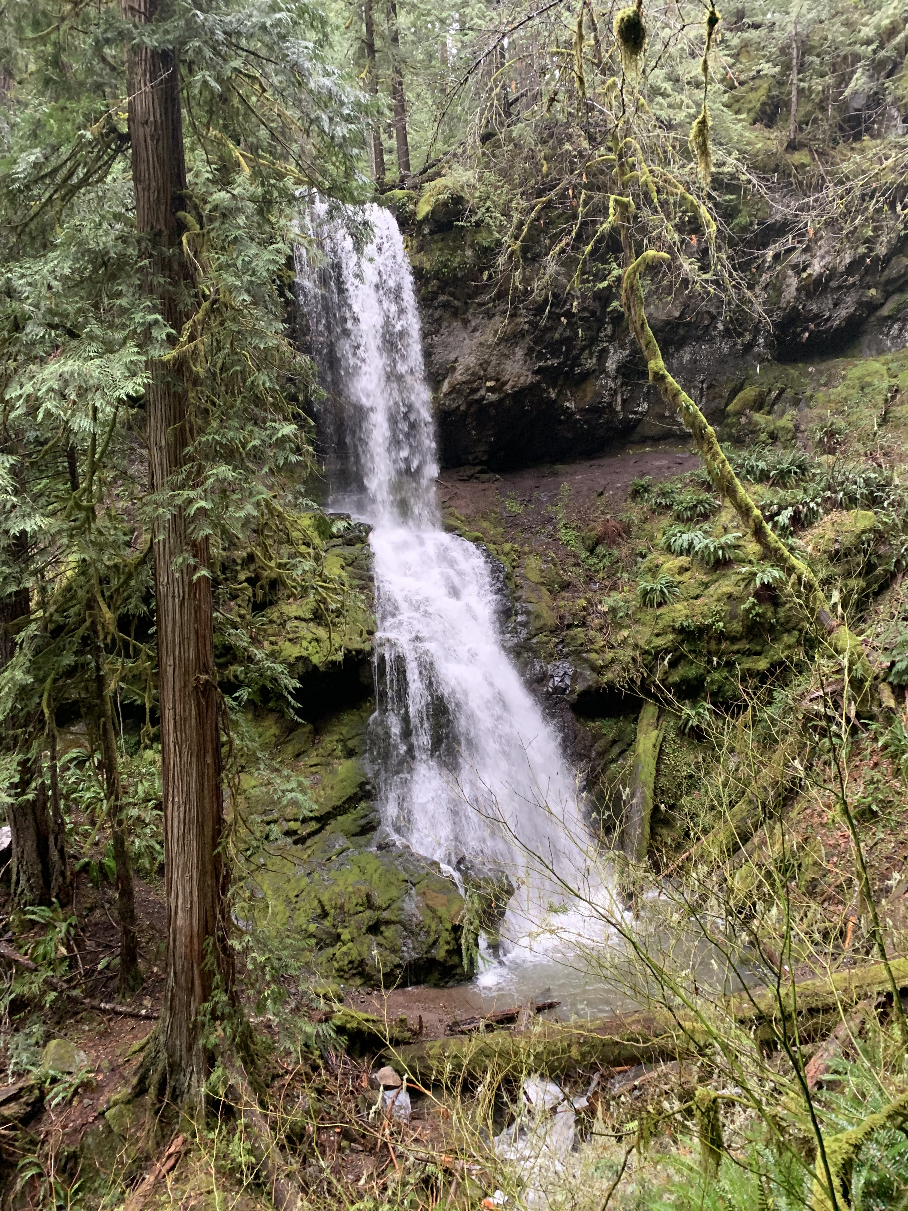
About a week later, the three of us took another hike to see Upper Trestle Falls after a heavy rain, 3-5 inches in the mountains. The hike was fabulous. I had thought of the idea to go, organized it on short notice, did the driving, got the three of us up to the falls, where I threw my arms in the air and shouted happily above the roar. We then hiked back down, went for coffee afterwards, my idea, Jean’s recommendation of a place. I had offered to pay for the coffee as a “sweetener” to get everybody to come. Roy mercifully didn’t ask the question again, but I now started thinking in earnest of the answer. I initially went about it the wrong way. It wasn’t an awful wrong way but it was still wrong. I didn’t want to leave Jan, my wife, at home alone while I went up for a minimum of 4 nights, maybe 6, and if only 3, it didn’t seem worthwhile. even going. Jean and I were going to meet for a walk a few days later and I wanted to have an answer.
I finally came to my senses and checked out my concerns with Jan that day. While she understood my concerns, she thought she would do fine. I wasn’t as certain, and we had a heart to heart talk about my leaving her behind and her being left behind. I didn’t want to leave her home alone several days. That is where everything stayed.
The better question then surfaced. Given enough enough time, I usually can find my way to either the right answer or the right question.
“Do I really want to go to the Boundary Waters this year?”
No, I do not. See, Mike, that’s not so difficult now, is it?
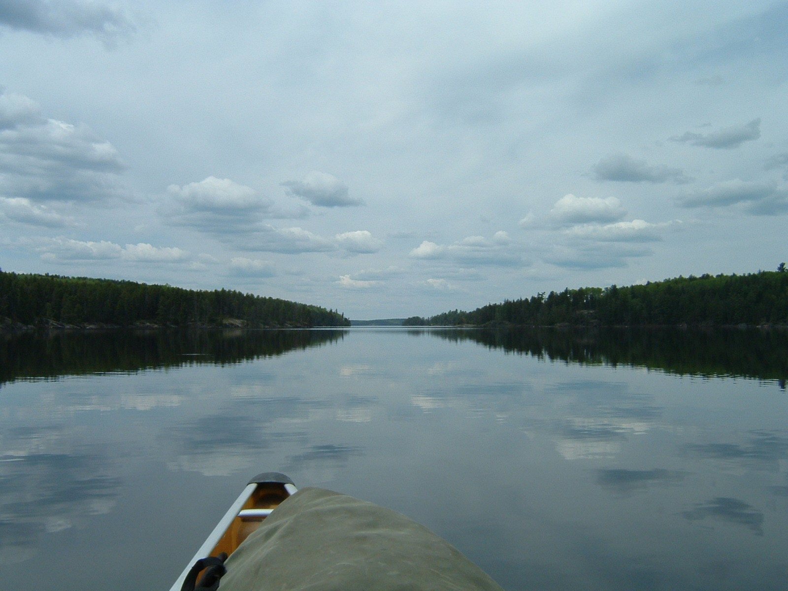
Two years ago, I said if I didn’t go that year, I wouldn’t go again. I was smarter back then. In the meantime, I had prostate cancer, would complete radiation, still have hormonal mischief affecting my power, hadn’t camped in five years and hadn’t canoed in seven. I bounced this question off Mina, my friend in Germany, with whom I have corresponded for nearly 15 years. She doesn’t camp but gives me spot on advice about everything. She offered the wise comment: “About the Boundary Waters: it seems you asked yourself the right question and found peace with your choice, without trying to push yourself to be like the old version of you.” What I was indeed longing for was the version of me in the old days with a vision of my seventieth trip the same of all the others. I would fly from Portland or Seattle to The Cities (they are Minneapolis-St. Paul to most people, but in Minnesota and for a few other people like me, are “The Cities”), do an airport hike to get a rental car, drive part way up, stay overnight, then arrive in Ely the next morning. I would need to get food, pack everything, get other things I needed, like stove fuel from the outfitter, who now wouldn’t know me, get the canoe, put it on the car, drive to the jumping off place, take the canoe off the car myself and then start paddling. I did not know how my arms, clearly from what I have seen here doing trail work locally, having neither normal power nor endurance, would react to quartering winds and long paddles. I have not set up camp in a long time. It’s work, and more work now with an older, weaker, out of practice body than it was years ago. I think I had a romantic idea of what it is going to be like, and the reality would likely be very different. That old version of me is gone, forever. There is a newer version, not as strong but with some nice attributes that I need to develop.
Years ago, I postponed a trip to the Appalachian Trail because of neck problems. I said a good woodsman would not go hike there with a bad neck. I waited until my neck was better and went then, section hiking three hundred miles (500 km) with no problem and great memories.
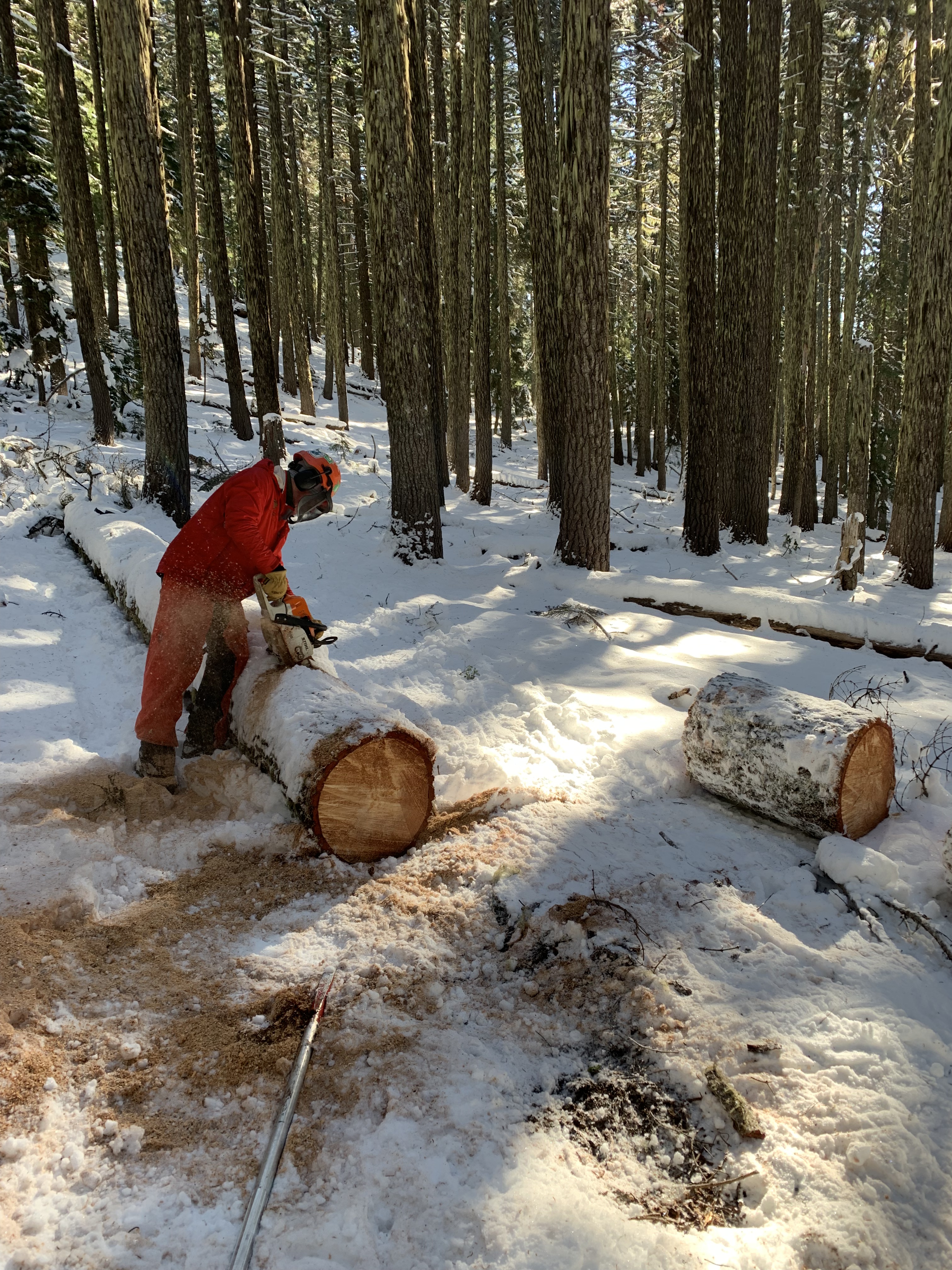
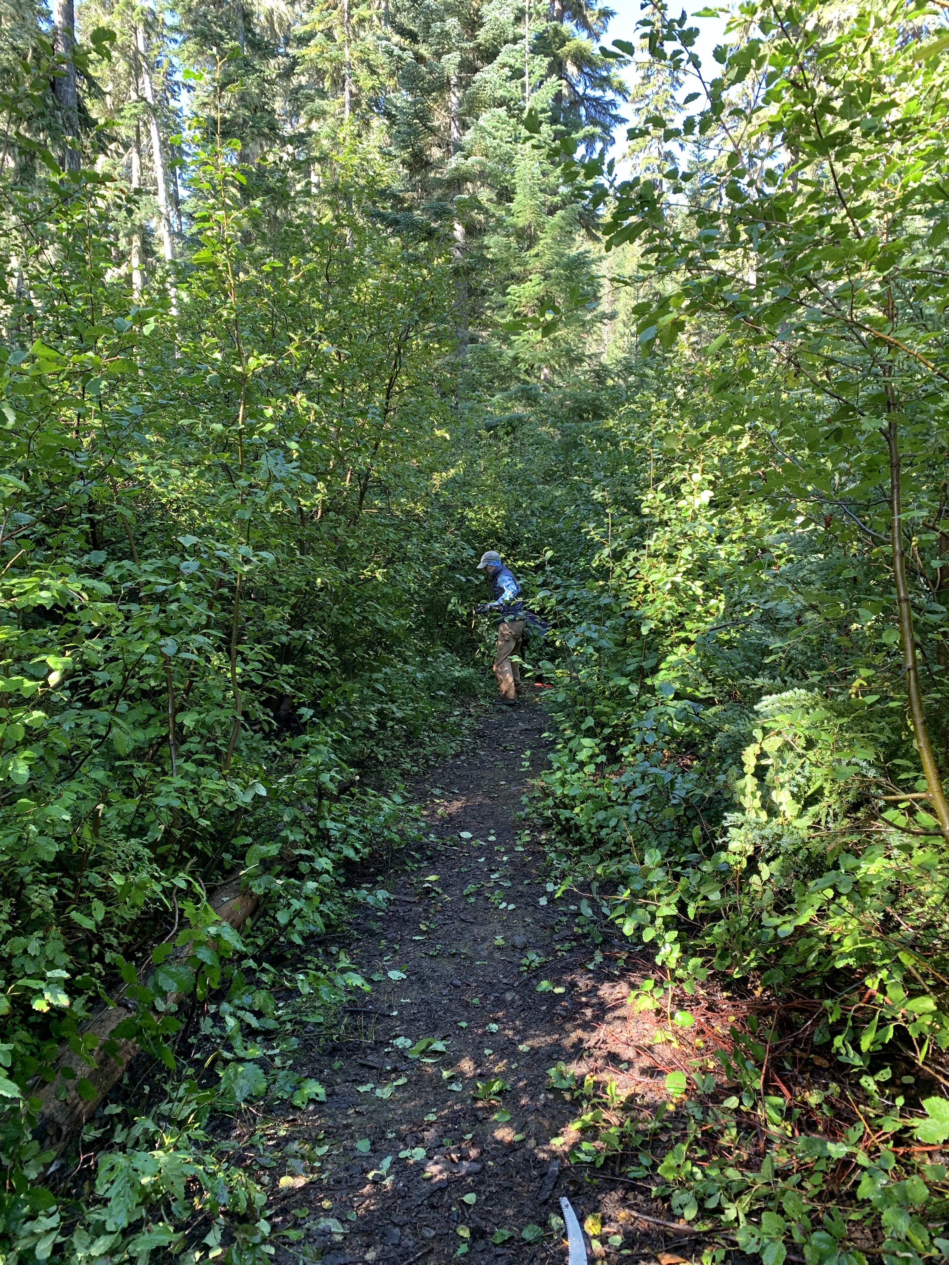
I have been and still am a good woodsman. I’m returning to trail work soon. I am ready for that. I have wonderful memories of the canoe country. I explored it like few do; I was a volunteer for one full season. I left my mark up there with the four scholarships I have created. The country left its mark on me.
I am at peace with this decision, and I feel very very blessed to have done what I have.
At trail work the following week in Fall Creek, recovering a trail after the Bedrock Fire, my first Crew outing in three months, Roy and I were alone by a section of trail we had both worked on. When we took a break, I got to tell Roy the answer. He had forgotten asking the question, but he completely understood my decision.