Last year, we spent a day in Kotzebue and several days in Anchorage and the Kenai, visiting Lake Clark NP and taking one flight seeing tour. We liked Kotzebue and wished we had stayed longer. We were less enthralled with Anchorage and wished we had stayed less. Part of the problem was that we did not realize how crowded south Alaska is in summer. We saw two rivers packed with fishermen side by side. I guess people love doing that, but I don’t.
We went to the Kenai because we had heard so much about Homer. People loved it. We thought it pretty but not special. The spit was fine if one likes a sea of humanity, and many do. We don’t. We went over to Lake Clark to see bears, but unfortunately for our poor guide, we saw one brown bear and a black bear with two cubs. That happens. I view wildlife sightings as a gift, not as a right. I wasn’t surprised by the bear paucity with the number of powerboats on the lake, especially at one end of the lake, where bears had been previously sighted.

Black Bear and cub at Lake Clark, NP. This was the only time I saw both a black and a brown bear the same day.
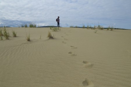
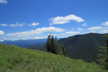
This year, we changed our visit, spending most of the trip in Kotzebue and the final full day in Anchorage. Kotzebue is a native village north of the Arctic Circle, accessible twice daily by plane. There is one hotel there and two rustic B and Bs. The food isn’t great, and there are a lot of junked cars in yards, because there is no place to dispose of them, and ATVs are more useful than a car there. But we liked Kotz.
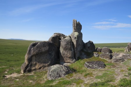
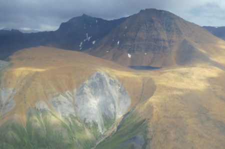
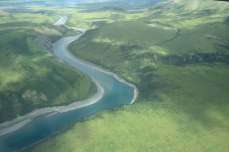
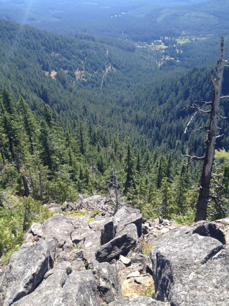
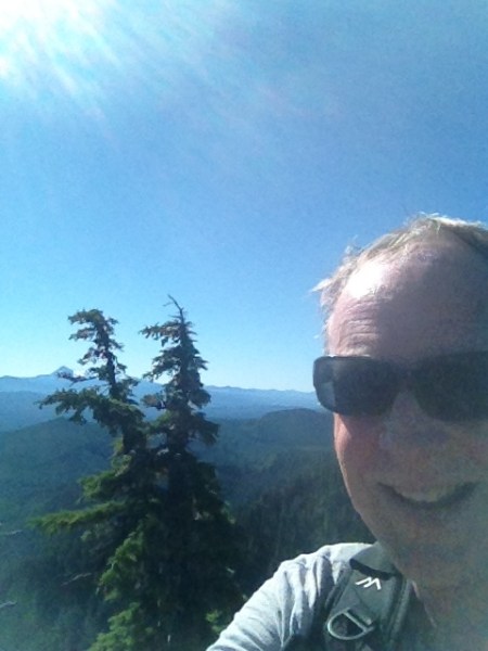
We took three flights, one to see the caribou migration in the Brooks Range from the air, one to see Kobuk Valley National Park, and a third to see Serpentine Hot Springs, all special places in the public lands system. The number of people we encountered in the last two? Zero.

Caribou migration from the air.
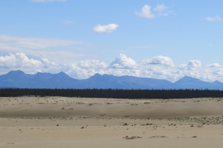
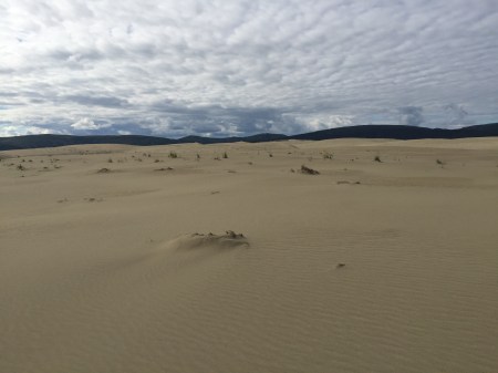
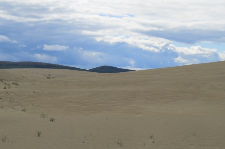
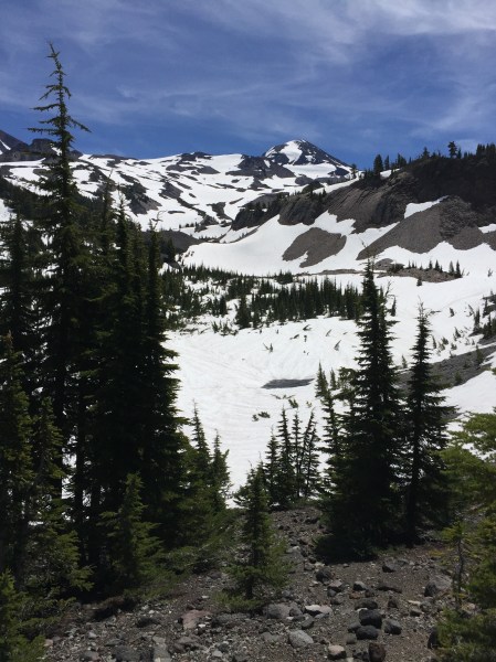
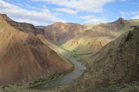
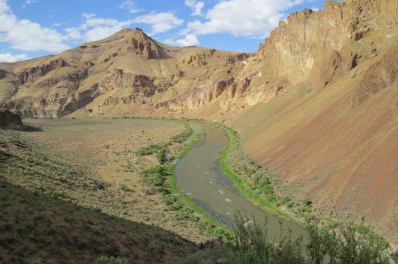
Kobuk Valley NP

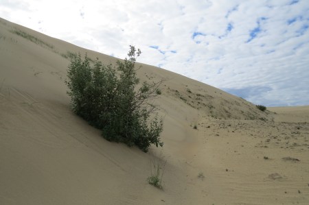
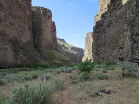
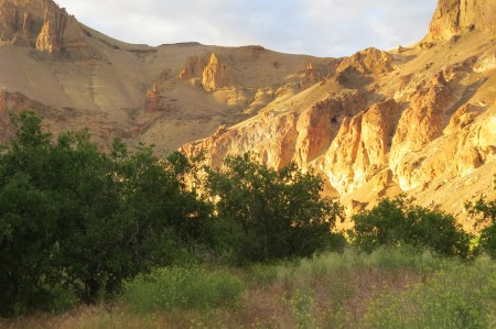
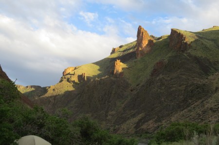
Tor (granite) at Serpentine Hot Springs
We then returned to Anchorage and flew to Katmai for the bear viewing, hoping my wife could see what I saw in 2013. Then, I saw 18 bears, two sets of 3 cubs and 7 boars at one time feeding at Brooks Falls. There was a slight wait to get to the Falls platform, but it was minor, and I had three separate hour visits, because an hour is all that is allowed at once. Since then, I have often said, “I’d go back to Katmai in a heartbeat.” (Not, “You should see Katmai.” I seldom use “should,” because it sounds like I am imposing my values on others.)
We flew down and went to the orientation, better than I had remembered. The rangers have a good video and one mentioned she told someone to leave the Falls platform, because he had a Diet Coke with him. The rangers are serious about no food being allowed. If food is not regulated, too many will try to throw bread or candy, because they believe feeing animals is cute. It is not. It is a death sentence. Here, I will use a stronger word than “should.” One MUST NEVER feed animals in the wild.
The only thing I didn’t like about the orientation was when she said, “Yesterday, there was a 3 hour waiting period for the Falls platform.” I was stunned. At Katmai, the Falls platform, where the boars congregate, catching and eating salmon that are trying to make their way upstream, is the best viewing spot. People give their names to a ranger who controls access, one is allowed an hour there, then must leave and get in line again to return, although last year a group of Germans apparently refused. I know all Europeans aren’t like that, but they must abide by our rules, just like I try to be polite and abide by European rules when I am abroad—including the expectation I will be pushed, shoved, subjected to a lot of second hand smoke, deal with rowdy football fans, and have some pretend they don’t understand my German or French. We are all different.
While waiting, the “riffles,” the lower platform, 100 yards downstream, is accessible. There may or may not be bears there.
We walked the mile plus distance to the check-in, not being told the waiting time, although it would be easy to do. The ranger can count the number on each page who are waiting ahead, and divide by 40. That’s the waiting time in hours. The ranger made it clear she didn’t like being asked. We wondered why the ranger didn’t give people the page number and have a small board with the current page (which had a total of 20-25 parties containing) being served. It would have allowed some flexibility. Not knowing makes it difficult to decide if one wants to take a chance to use the pit toilet, a 30 minute round trip. Since I knew my page number, I asked for only that, so as not to annoy her. We had time to go back down the trail—during which we and maybe five others saw a large boar go by right under the raised boardwalk— to the pit toilets and return.

We got lucky. He passed 10 feet under us.
Many waiting were bored, standing, although there were 3 cubs asleep below the raised area, and occasionally the sow had them go to the river. A ranger told me that the sow had helped him deal with a lot of grumpy people, suggesting that the bear viewing was not optimal this year, often because there were so many salmon they were feeding in early morning and resting the rest of the day. I wondered if that and the extensive waits were causing problems.
After 2 hours, we had an hour on the Falls platform, which has an upper and lower part, good for 30, but 40 were crammed in, most of whom were on the lower part, not moving, including a French couple in the corner with a tripod, which takes up an extensive amount of space. I guide at Rowe Sanctuary during the Crane migration. We don’t allow photographers to do that. There were two bears, and watching the salmon attempt to jump the falls was more interesting.

I estimated about 5% of the jumps were successful.
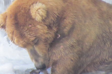

Sow with 3 spring cubs.
Viewing the bears at Brooks Falls in Katmai has to change. We need to sharply curtail the number of daily visitors. It’s better for the viewing experience and for the bears, and the latter matter more. It is expensive to get there, crowded, the waits are long, unpredictable, leaving one to stand around, for possible sub-optimal bear viewing. For the time, effort and money, it isn’t worth it. There are custom trips that can be taken, but they book rapidly and are more expensive.
In the meantime, I’ll do my Alaska visiting further north. I’ll go to Kotzebue, perhaps. Or not. I haven’t decided. The Sheenjek River drainage in the Arctic Refuge beckons. Serpentine Hot Springs would be nice for 2 days, and I’d love to try to catch the caribou migration from the ground. I’m not saying that you should see it. Indeed, the good places I want to go, I want as few people as possible to be there.
Selfish? Yep. But look at the bright side. I won’t be clogging up Brooks Falls.