Archive for February, 2023

COMPASS

February 19, 2023

 I have been invited to submit monthly articles for the Obsidians (Eugene outdoor club) bulletin. This article was adapted from my article Thump, which occurred in 2006 and was posted in 2009. Many articles will have single word titles, my choice.

11 p.m., somewhere on the southwest corner of Isle Royale, the national park island in Lake Superior, part of Michigan, but closer to both Minnesota and Ontario.

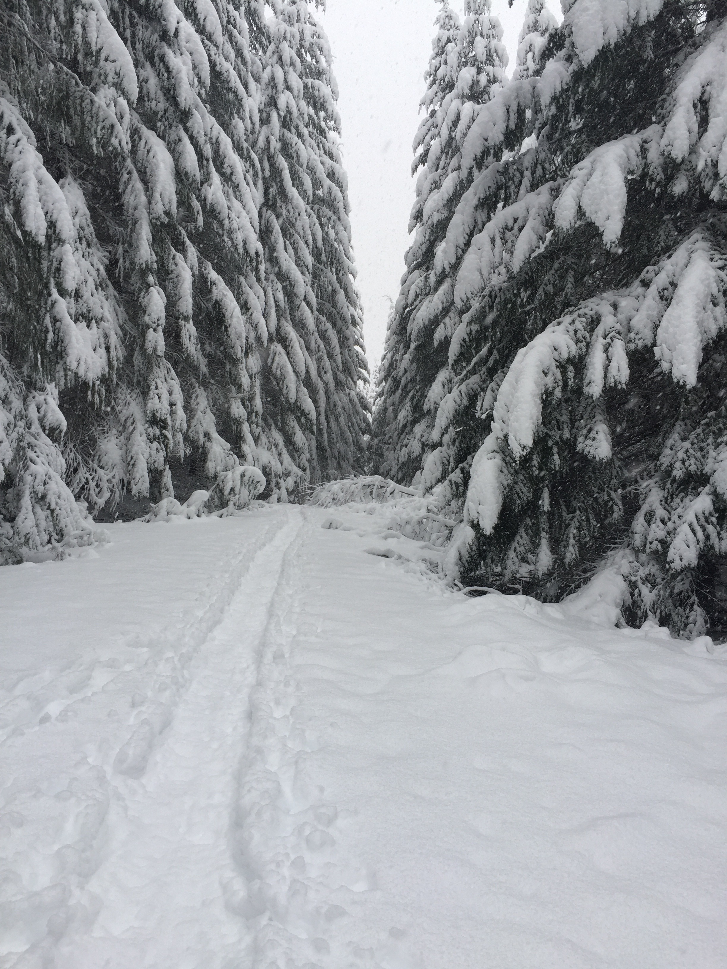
It’s cloudy and dark, but the rain and wind have stopped, and I hope my mag lite will keep working. I have seven miles to go to Windigo, where I can camp, unless my light quits and I have to camp on the trail. 

Three hours earlier, I had been lying supine on my bag, almost dozing, shoes off, when I heard a few thumps outside the tent. One more thump, I told myself, and I’m going out there to see what is going on.  

Thump. 

I put on my shoes, opened the screen and looked in front of me.  Nothing. I crawled out, stood up, and turned around. Twelve feet away, separated only by air, was an adult wolf.

“Oh. My. God. “ I said. What I was seeing had been for decades at the top of The List of things I wanted to see.  But like this?  The wolf and I stared at each other, and he slowly circled the campsite for the next 3 minutes, looking up at my hung pack on a nearby tree. His jumping at it was perhaps the thump I heard. Then, suddenly, he was gone. 

I intellectually knew there was no documented case of a healthy adult wolf’s attacking an adult person. That’s fine to know, but it means little should one be ten trail miles from the nearest other person, where there was no way whatsoever to communicate. No way I would stay put; I packed up and shortly before sunset under an overcast sky was back on the trail.

I thought on this May night, it might be light enough in the woods, but not when overcast. The trail was easy to follow at first, and I only had to worry about moose that might bed down near it. I made decent time despite my having already hiked ten miles and now doing another ten, rather than sleeping. I admit to occasionally turning around and looking behind me.

I approached a large jackstraw of logs in the middle of the trail and started to pick my way around. I kept going until I finally found the trail and started hiking normally again. A few minutes later, something didn’t feel right. I’m analytical to say the least, and while I don’t pooh-pooh gut feelings, I like to have hard evidence. Then again, this evening, I went with my gut and got out of that campsite. What I was feeling now was every bit as disquieting. 

Am I going back the way I came?

I generally have good trail sense, but I have become turned around before, and I was now seriously concerned, so much so that I stopped, took off the pack, opened the pocket where I had a compass, something that I have almost never used on the trail.  I took the compass out, didn’t worry about the declination, held it away from me in the direction I was now going, shone the light on it and asked one question: am I facing SW or NE?  

The direction was SW. I had turned around. 

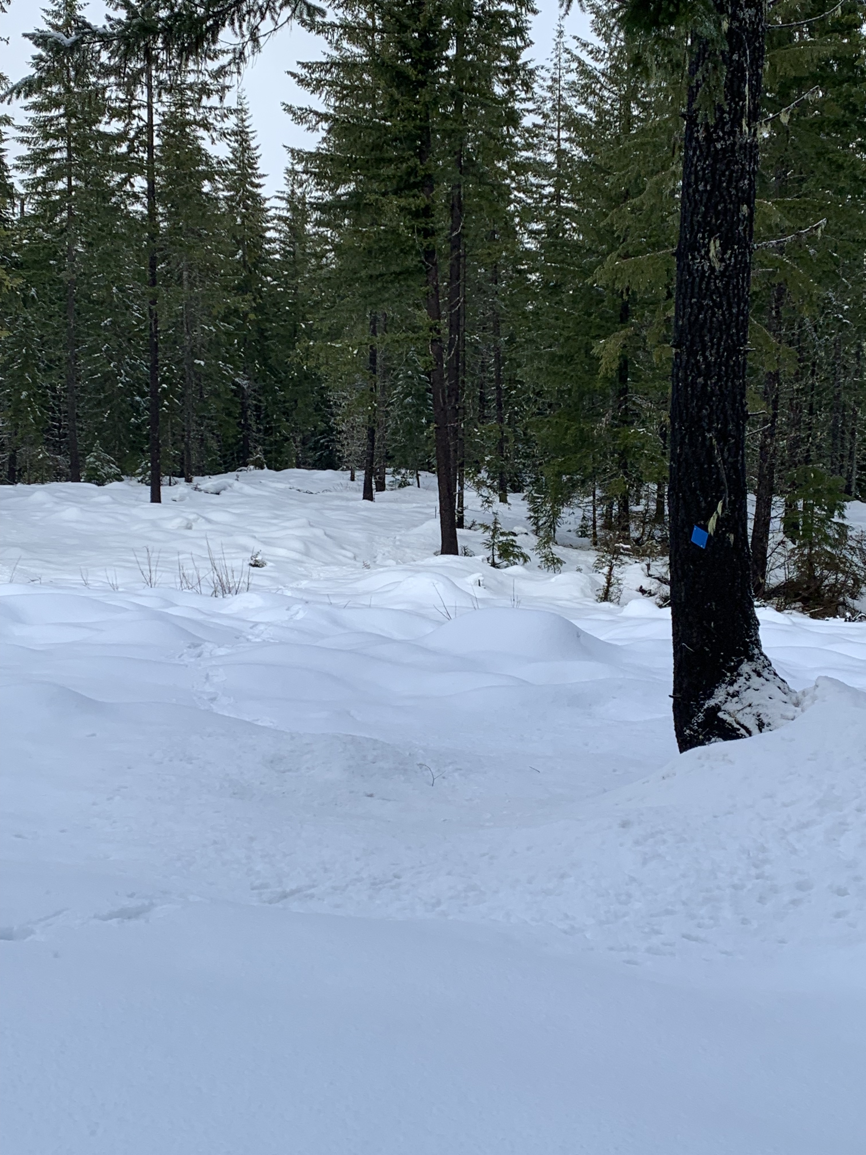
I put the compass away, turned around, and started hiking again. Sure enough, I soon reached the blowdown, this time more carefully finding the trail continuing northeast. At 1:30 a.m., I arrived at Windigo, pitching my tent on the lawn at the Ranger station. When I awoke a few hours later, I was 50 yards from an empty three-sided shelter.

See you on the trail.  Bring a compass.

DO IT YOURSELF

February 1, 2023

I pulled up my ski pole, and the basket was gone. Just like the other one 10 minutes ago. I was flailing in deep snow in a pile of Ceanothus brush, pretty in summer, a royal pain right now, thinking I would find the trail, but in snow, a lot of gaps look like trails. Eventually, we gave up and backtracked to a road that led to the other end of the loop where we had tried to go. Two of us went in, found some blue diamonds on trees, and kept going. We got to within 100 yards of where we had been, before realizing we needed to rejoin the rest of the group, and we hightailed it—as much as anybody can hightail it on snowshoes— back to the vehicles. The leader was not happy with us. Not a great decision of mine to explore, but I knew more about the trail.

Nickerson Loop

A month later, same Sno-Park, same leader, different trail, same thing happened. The markers disappeared, and after a sufficient amount of floundering, this time in a stream bed as well, we gave up. I muttered, “This is crazy. There are no loops where they should be, and somebody needs to fix this.”N

I knew (1) that fixing wouldn’t happen soon, if ever, unless (2) I was that somebody.

After snowmelt, I went back to Nickerson Loop, the first trail, followed the road to where it ended in a the trail through the woods. There were many logs down that needed to be removed and a few diamonds needed to be put on trees in order to mark the trail better. 

I reached the meadow and after an hour or so realized the trail was never in the meadow but rather at the edge of the woods along the meadow. I found a few beat up plastic blue diamonds on trees and started to see where the trail went. Then I saw nothing. After another half hour, during which my GPS recorded a bunch of slashes like a drunk person’s using an Etch a Sketch, I decided to bushwhack to the Forest Service road where the trail came out. That in itself was a lesson in how one gets lost.

I knew the road was about 3/8 of a mile through the woods, and I thought I was going in a straight line. But there are trees, downed logs, gullies, and brush to dodge, and I made changes to my route and more changes. It took me a while to get to the road, and when I did I realized I had veered 45 degrees to my right from the track I had projected. I had no idea I was that far off, and I consider myself to have fairly good trail sense, except this wasn’t a trail. This is why people get lost. We go in a straight line, then in another straight line angled to the first, then in another angled to the second….

I walked up the road to where the trail began and worked my way back to the meadow from the opposite side, and after a couple of hours had the trail marked. 

Four months later, in autumn, I worked with the Salamander Trail Crew out of Salem to help log it out, remove the downed logs, put up a few more diamonds, cut out some brush, and the next winter, I was clearing a few logs when I saw a group coming the other way on snowshoes. I asked them if they had had trouble navigating.

“No. Everything was great.” 

**********

The second trail, Prairie View Trail, was more problematic. I started to mark it the following autumn by going to the far end of the loop, off a Forest Service road, where there was a trailhead marker and followed the diamonds to…..nowhere. In the meantime, my feet got tangled in blackberry bushes, and I face planted on the ground. This was going to be more of a problem. I went out to the road, made a different track, and had a rough idea of where the trail markers could be placed.

That winter, I went out with the diamonds, nails, and hammer from the other end of the loop, the Sno-Park parking end, found where the second meadow portion left a road, put up several diamonds and got two-thirds of the loop done before I ran out of diamonds and had to use orange ribbon to mark. I didn’t bother to go to the old trailhead.  I had marked the trail with ribbon or diamonds, and more importantly, I now had it on my Gaia map on my GPS.  I never got back there later in the winter, mostly because I was nursing some ailments from too much vigorous snowshoeing into other places.

This winter, I began by going out from the Sno-Park, realized the snow was too heavy to complete the whole trail by myself, and came back out a week later, with diamonds, when the snow was a little easier to walk on, cleared brush, and came to the second meadow part. I was pleased with how well the diamonds guided, and I added several more in place of the ribbon, some of which was still present, going to the road. The diamonds have to be placed for both directions, and it should be possible to see the next one from the prior one.  Hiking with a hammer, diamonds, nails, all in a canvas bag, at the same time snowshoeing, requires some skill. The effort was not without a misplaced glove, falling into a snowdrift, but I reached the road, and the trail cleared. 

This winter, I will lead a Club snowshoe over the trail.  There aren’t views of any prairie, but there are some nice wooded and meadow areas, and it is a flat snowshoe for the most part, good for beginners and novices.

I’ve finally got both trails, both loops, marked in the Sno-Park. They 4.3 and 6.4 miles respectively, give or take. Maybe next year I will try to snowshoe both in a single day. Not sure why, but it’s the kind of thing I would think about doing.

Nearly 11 miles qualifies, however, as a “vigorous snowshoe,” which has produced physical consequences in older people.  

Like me.

Prairie View marker at the beginning. It is slightly angled to the left to show that the trail is to the left of the tree.