I looked up at the map on the wall. Well, truth be told, the original destination of my eyes wasn’t the map. I wanted to rest my eyes from some heavy duty reading, but yeah, the map was right in front of me, showing a corner of northeastern Minnesota called the Arrowhead, because of its shape, along with much of the 547 miles of state border that was, with three small exceptions, water.
I admit it. I placed the map there because I wanted to look at it often, even in mid-winter, because I couldn’t get enough of that country. To quote an essay by Duluth writer Sam Cook, “How is he going to see all of that country before he dies?” The “he” was a man 33 years old; he wondered what he would see in the next 33 years, because at the time, Cook mused he hadn’t seen many 66 year-olds in the woods. Of course, I couldn’t and didn’t see all that country, but I made a great effort over nearly forty years, 69 trips, and enjoyed it. And I canoed into my 70s; nearly 78, I am still hiking and doing trail work. My eyes focused on a large blue vertical spot that was Agnes Lake in the Canadian Quetico. I remember headwinds and a cold rain one trip, but my partner and I dealt with the weather and waves, welcoming the channel to the Silence Lake portage and camping on the other side, pitching the tent and warming up. That night, I started the cook fire with one match. I’ve been through Agnes Lake often, my last time in 2005. I’m fortunate; I knew then it would be my last time.
Heavy duty reading having fled my mind, I gazed at a rounder spot of blue, Saganaga Lake, and remember my having paddled and portaged the entire 120 mile distance on the border to Crane Lake. I remembered the day I walked up Warrior Hill on Lac la Croix, a large rocky area of the Canadian Shield, mile north of the boundary in mid-lake, almost able to hear the young men from three centuries ago who ran up it, and later that day my portaging into Crooked Lake…..
OK, time to return to my reading.
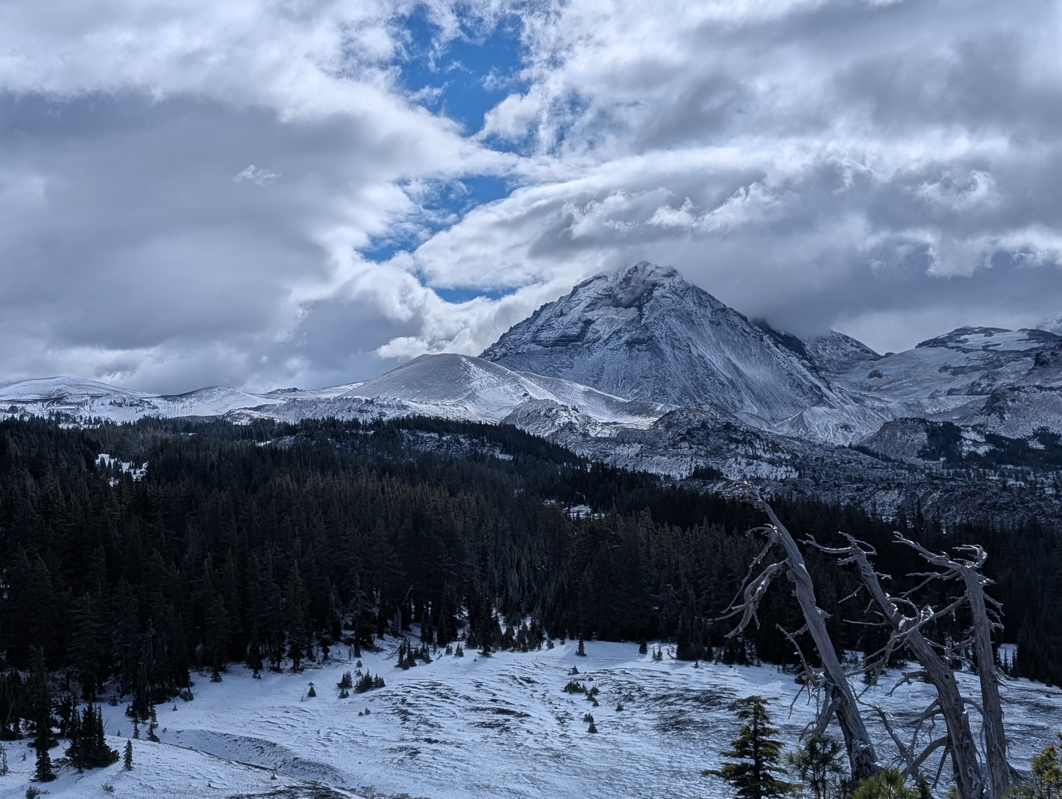
Years later, I had a different home base, different destinations. I now use a computer to bring up CalTopo to check a hike, look at contours, then see a spot of blue or a dark green line denoting wilderness, and the next thing I know, I am at Maiden or Waldo Lake, Obsidian Falls, or Timponagas, remembering the latter when, nursing a healing metacarpal fracture, I hiked up nearby Cowhorn Mountain, third of three hikes I did with limited hand mobility, Rigdon Butte and Scott Mountain being the other two. Or I scan an area where a trail is the border between two wilderness areas, Three Sisters and Waldo Lake. Two wilderness areas adjacent to each other. That’s special.
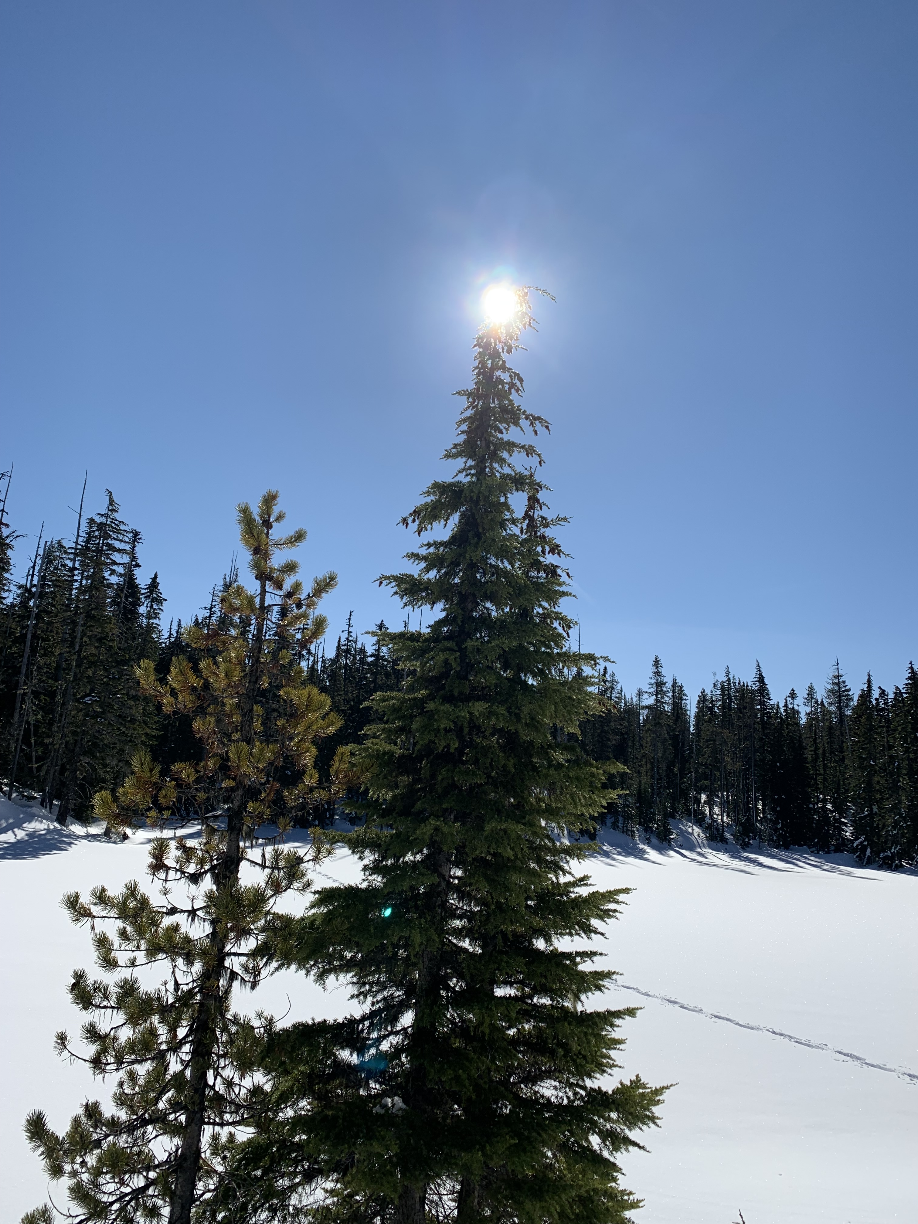
In my mind, I’m out there in the back and beyond, reading contours that tell me of cliffs or saddles, shores I explore only in winter, like Arrowhead Lake in the Diamond Peak wilderness, my snowshoe tracks a curved line across the lake.
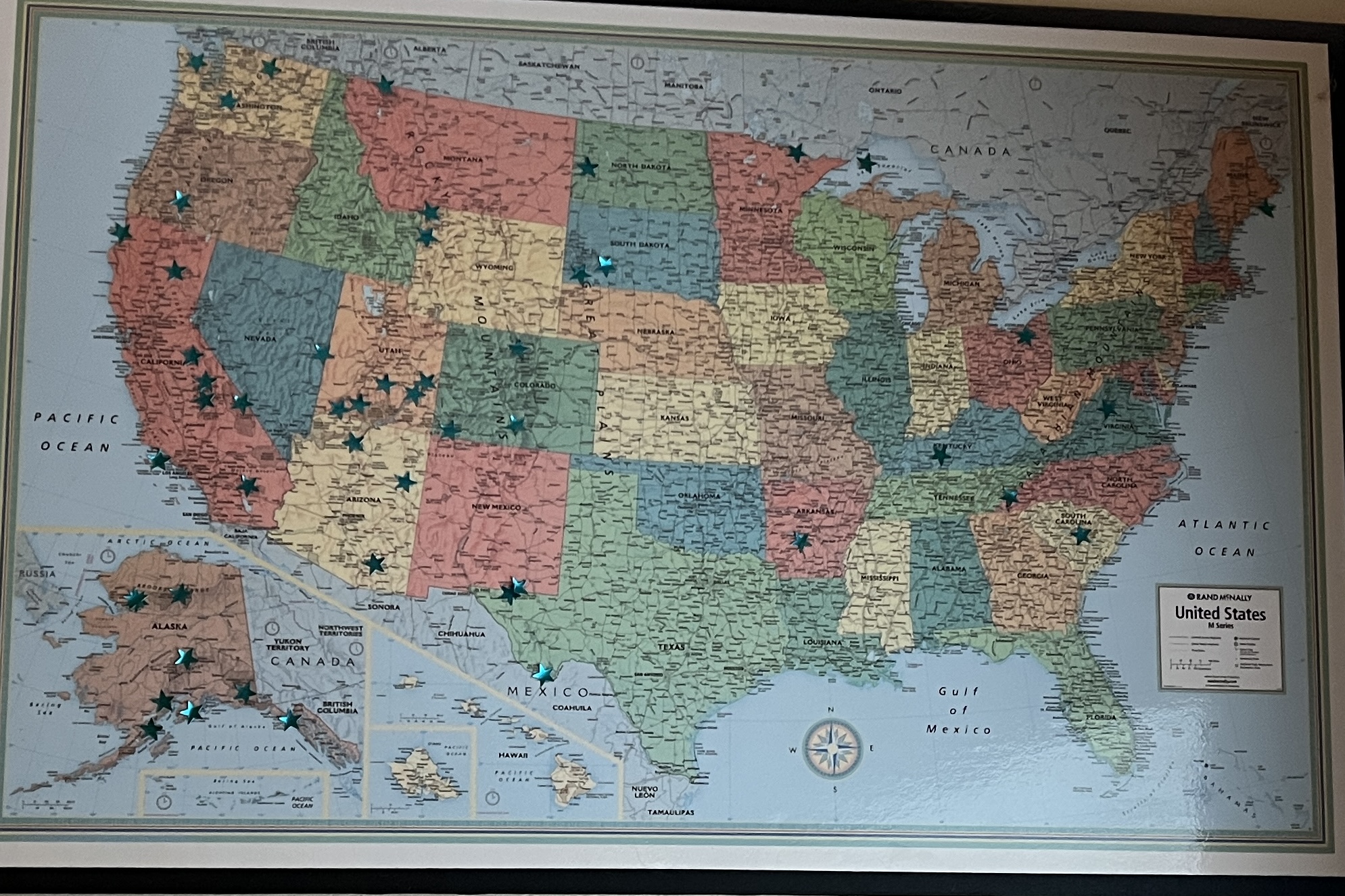
I can spend hours looking at a map, and while online maps are easy to find, I pulled out the large, paper Boundary Waters map, trips outlined in ink, years written on the map, 89-1, 89-2, 92 A-V, my 22 trip summer, ’96, with a 100 mile loop, or ’08. I stopped inking in trips once online maps were common, and I kind of regret my stoppage. I still have a US map on the wall, green stars over all the national parks I had seen. If I look at this map for more than a few seconds, I am suddenly I out there, an elk herd crossing 50 yards in front of me at Wind Cave, hikes in the North Cascades at the 2017 Obsidian summer camp, six backpacks down into the Canyon, October snow and autumn leaves in Great Basin, griz rolling on the aufeis in Gates of the Arctic.
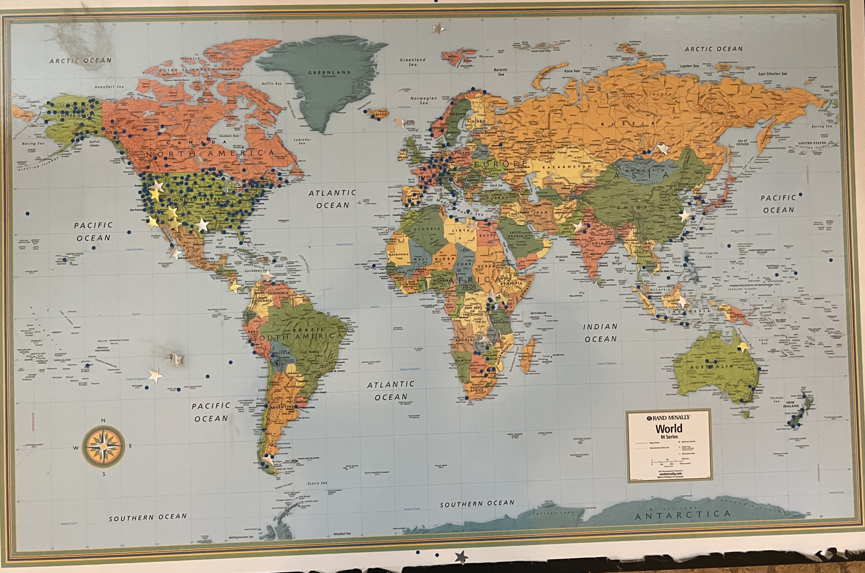
I don’t know if my trail memory is decent because I spend so much time looking at maps or I look at maps because I have good trail memory, but there isn’t an out of town hike I take where I don’t look at a map beforehand. I like to know where I am going, elevation, mileage that may be different when I get on the trail, causing me to refer to some distances as “Smith miles,” “Scorpion miles,” or “Obsidian miles.” To me 1:63,360 makes instant sense, just as 320 rods, 80 chains, or 1600 meters. My goodness, the time I have spent looking, planning canoeing, backpacking, or day trips. Looking at a map is a significant part of my enjoyment, and once out there in the beyond, I keep checking one.
A day after writing this essay, I hiked to Four in one Cone, a straightforward hike 10.5 miles with nearly 1300 foot elevation gain. My first time there, 2014, I talked to a geologist from the University of Kentucky who was exploring as well. I’ve subsequently led many trips there, two as part of a “Pair o’Cones” hike where we climbed Collier Cone and Four in one Cone the same hike. This trip, I checked the elevation at the start and the finish, and no, neither had changed. I ran my finger on the screen where I could see the trail in the volcanic area and the cone. I remember the day where we had yellow jackets, another day where the Crew logged it out, and fall days where it was a cold rain or rain snow mix and other fall days where the colors were gorgeous. How can one area be so beautiful? I don’t know when I’ll get back or if I’ll get back, but I’m not thinking far into the future; right now, the next day is what matters.
See you on the trail.