Last winter, I spoke with the Executive Director of Rowe Sanctuary in Nebraska, where I volunteered for a decade, leading well over a hundred trips to the viewing blinds. I donate to Rowe, and every year the ED calls me to catch up for a few minutes. I know his family well; his daughter is almost exactly 50 years younger than I and now a biologist in the Deep South. I first met her when she was ten. I do miss seeing the Sandhill cranes, teaching people about them, hearing the unique call from an ancient species, and viewing their migration is one of the top three events I’ve seen in nature (the other two were a wolf in my campsite on Isle Royale, and a total solar eclipse, of which I have seen 18).
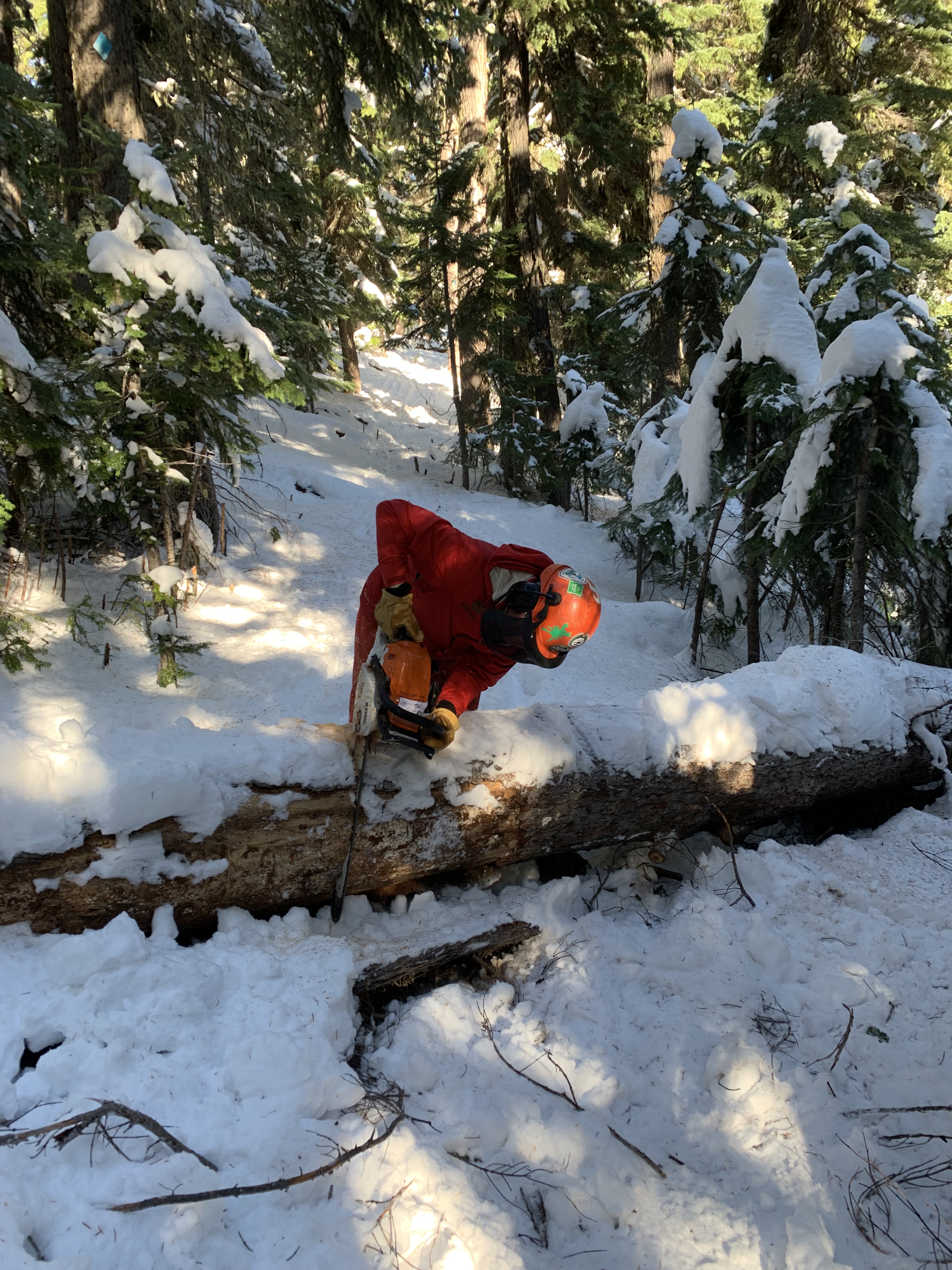
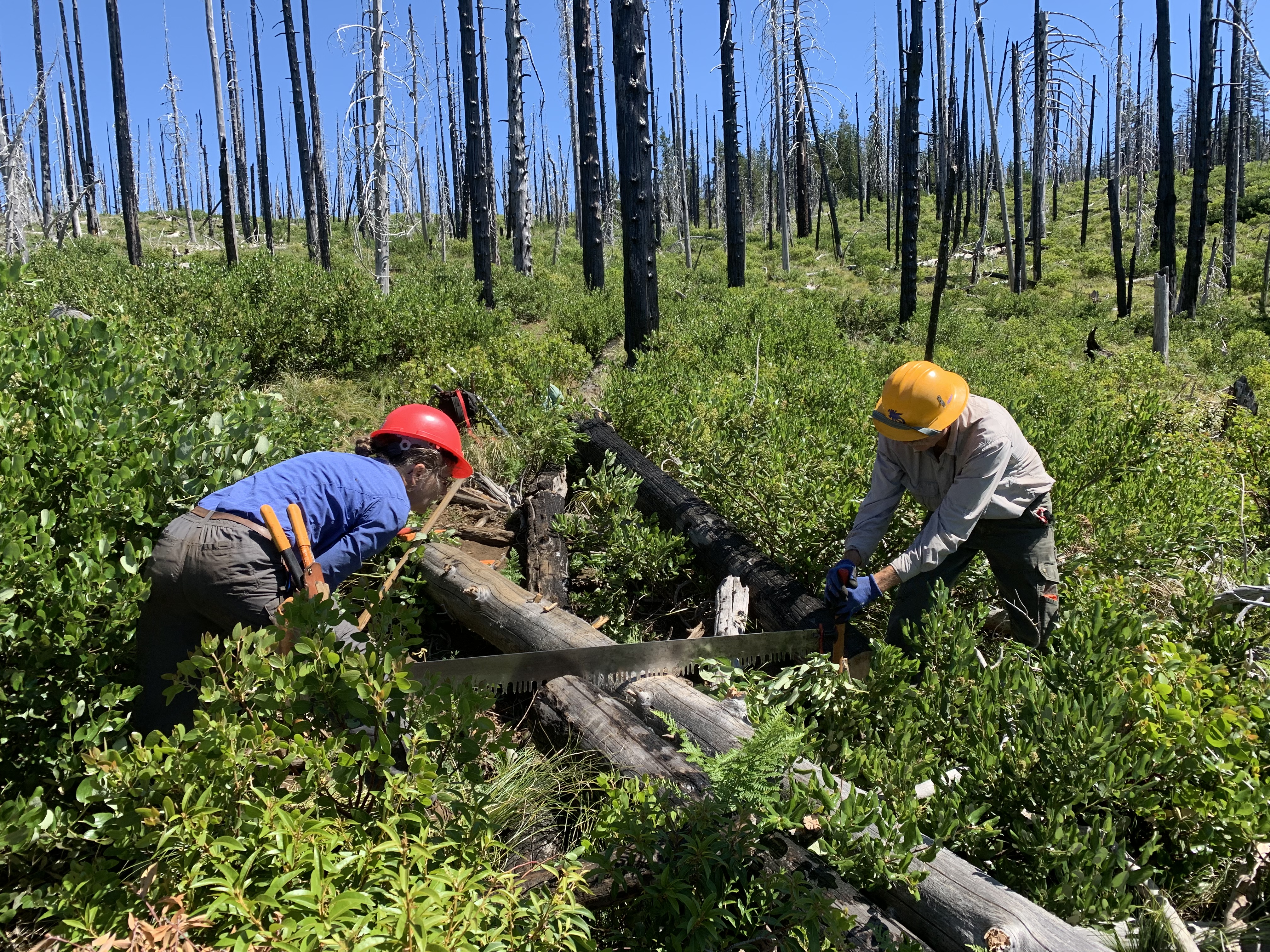
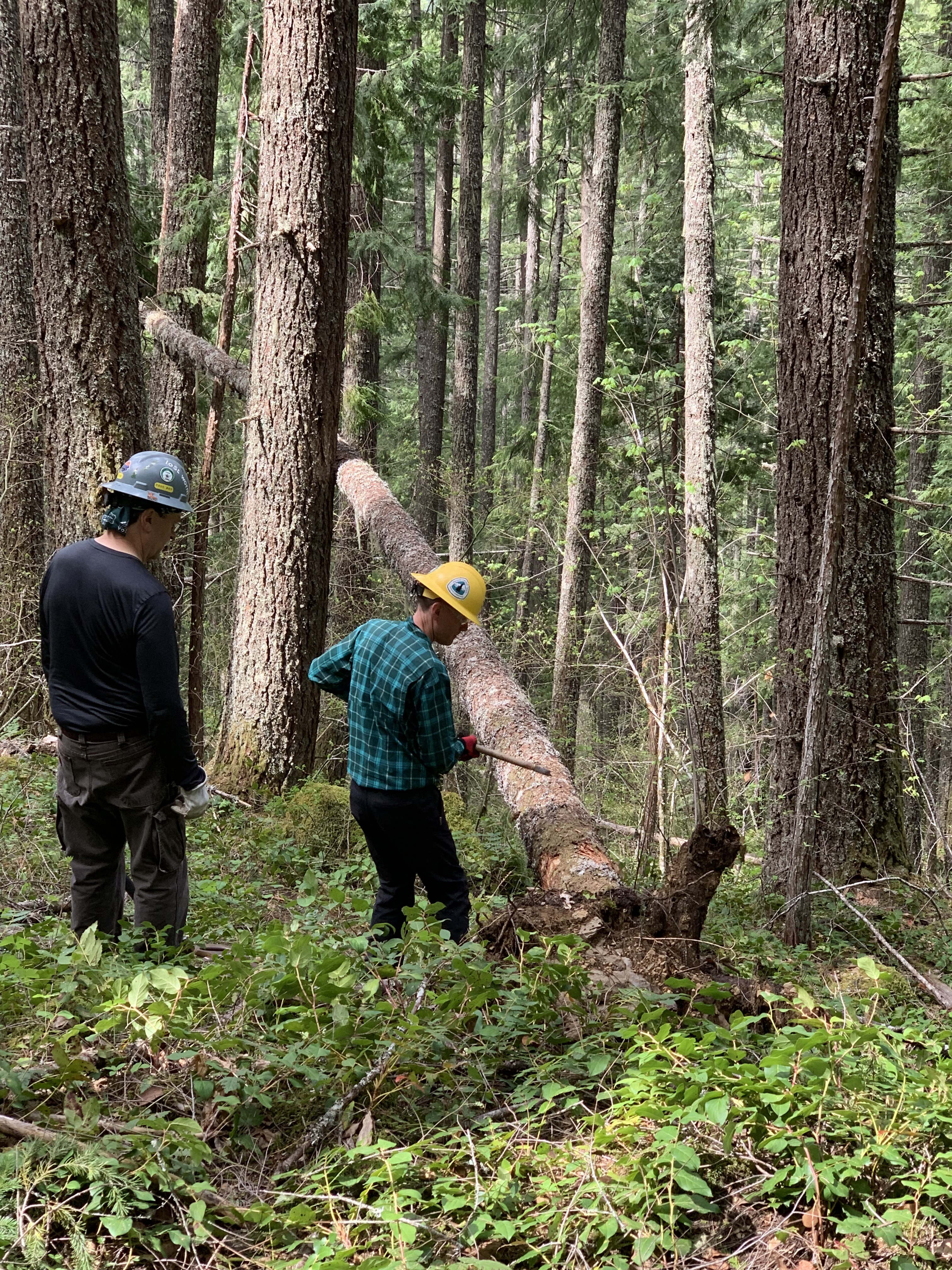
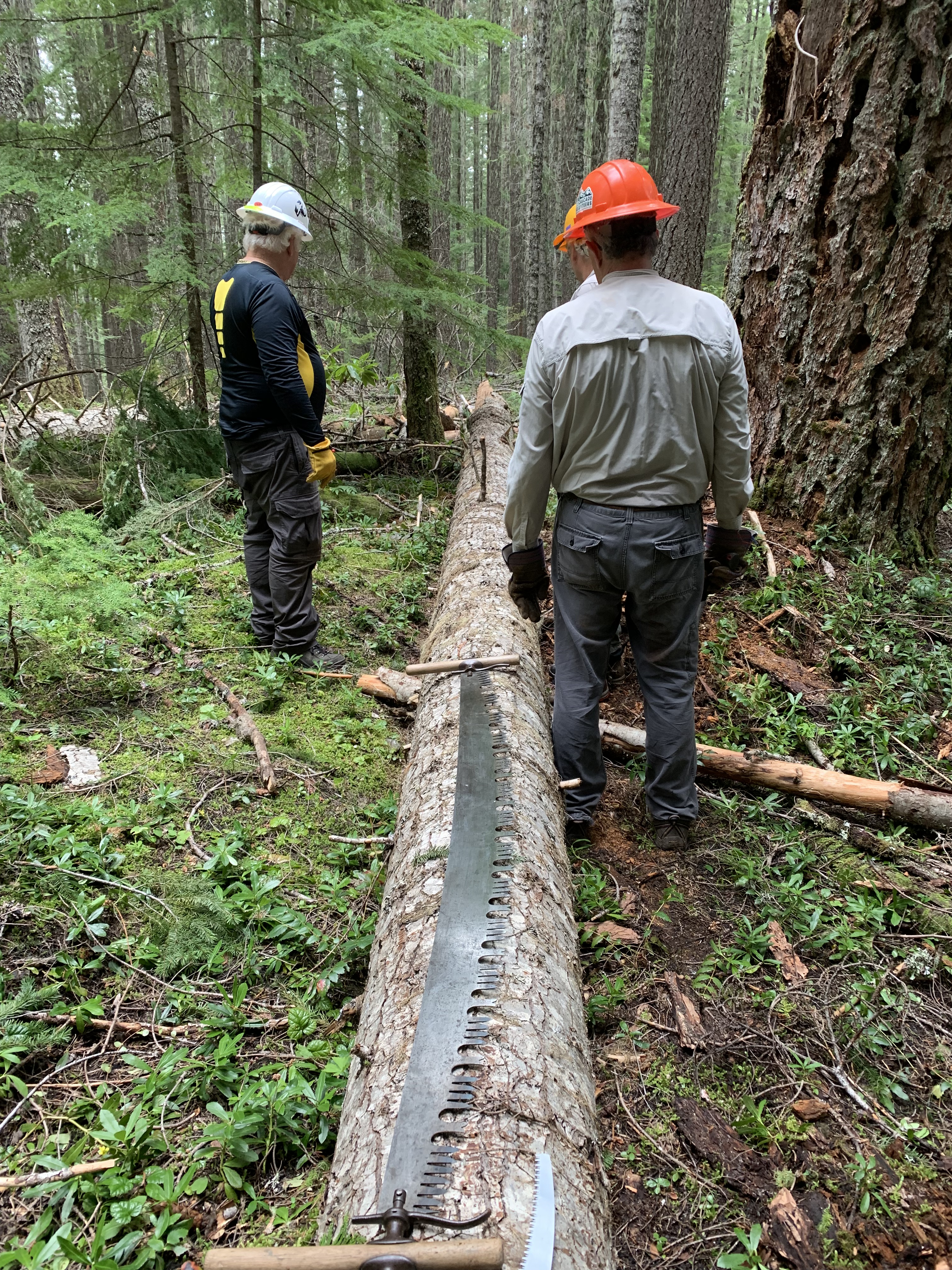
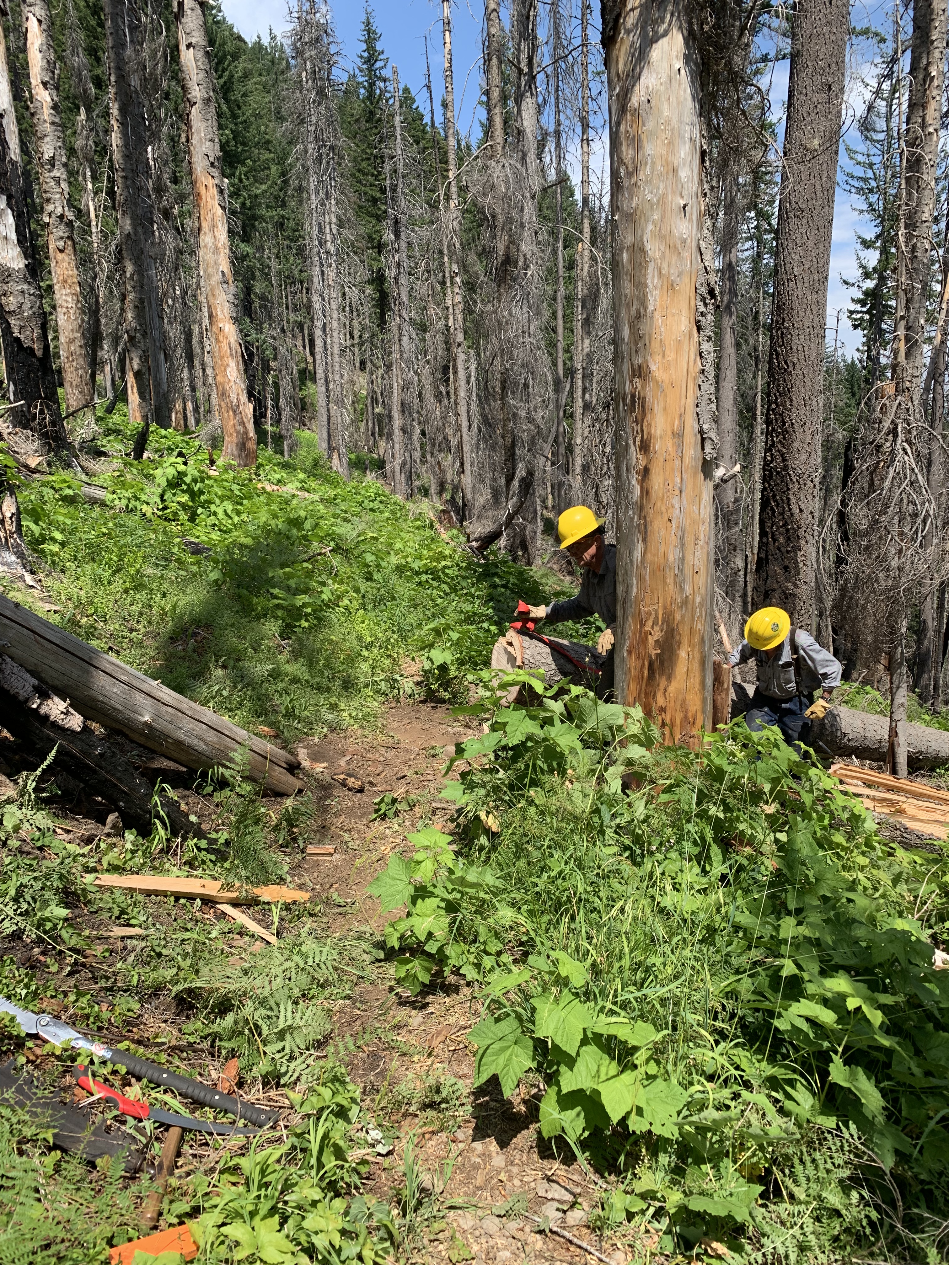
At one point, the ED asked me what a “logout” was, which I had mentioned, without realizing it, several times. I explained it to him, although I didn’t delve further into the fact that the word may be used as a noun or a verb. We go to the woods in order to log out or cut out the logs blocking the trail (the verb form) the trail. On the last logout (noun, object of a preposition), I hurt my arm.
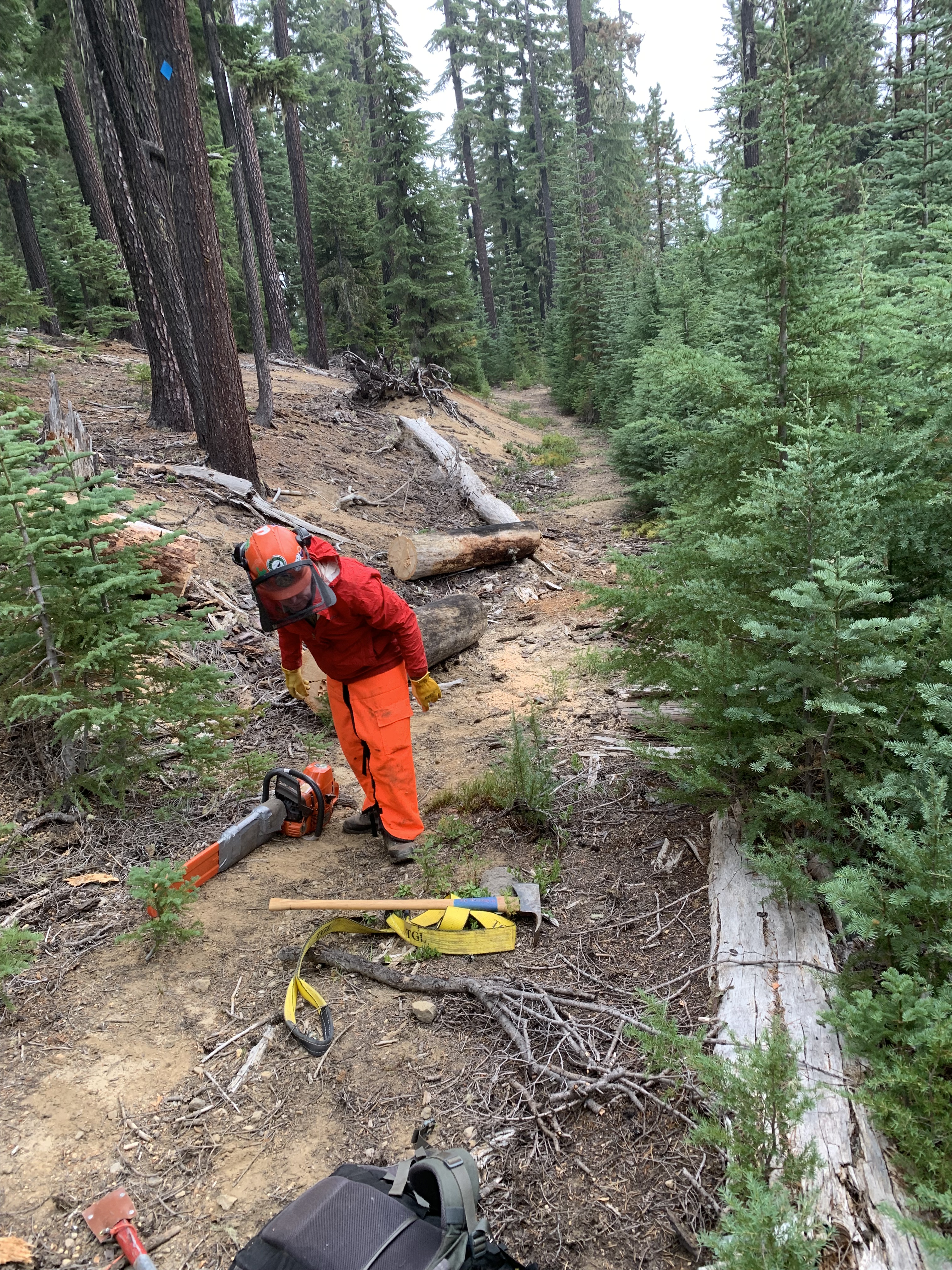
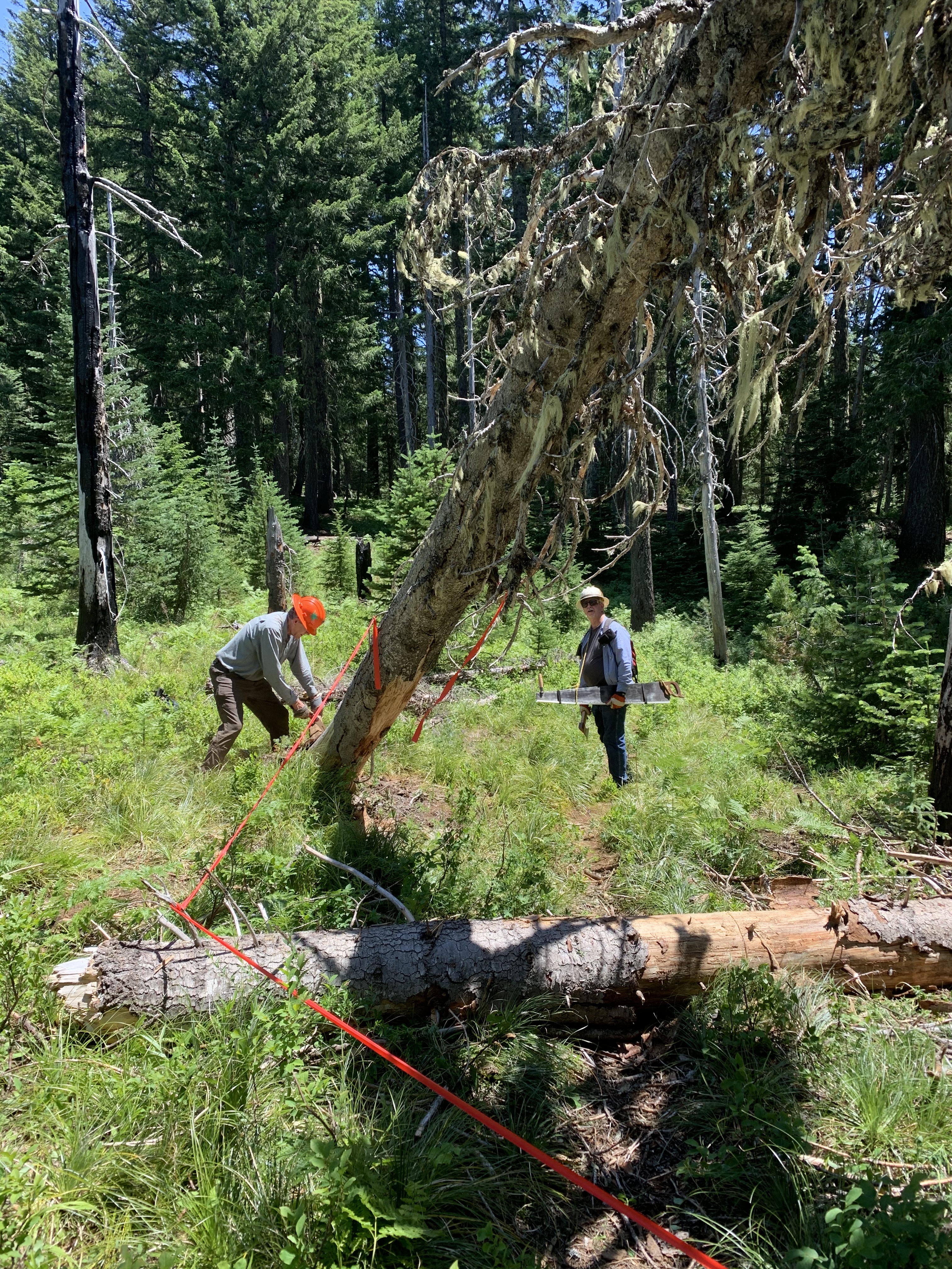
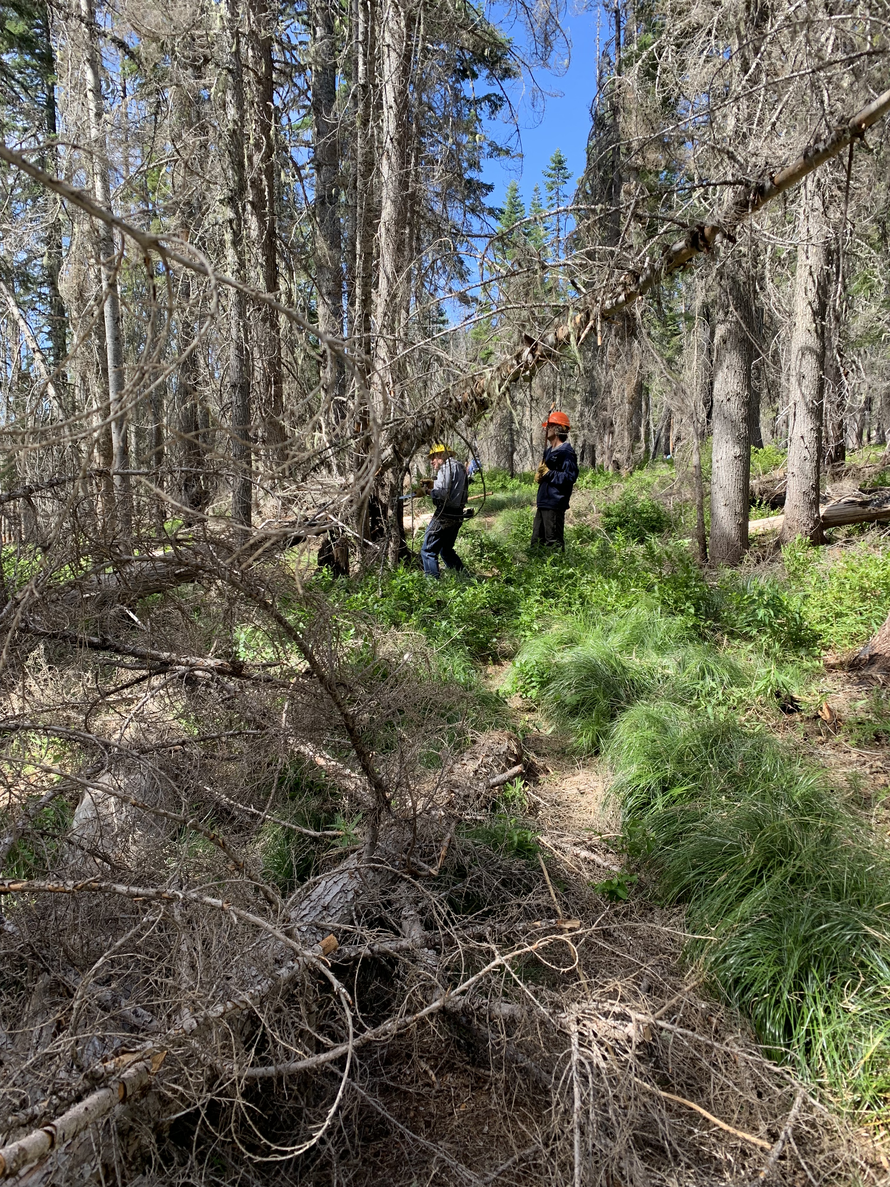
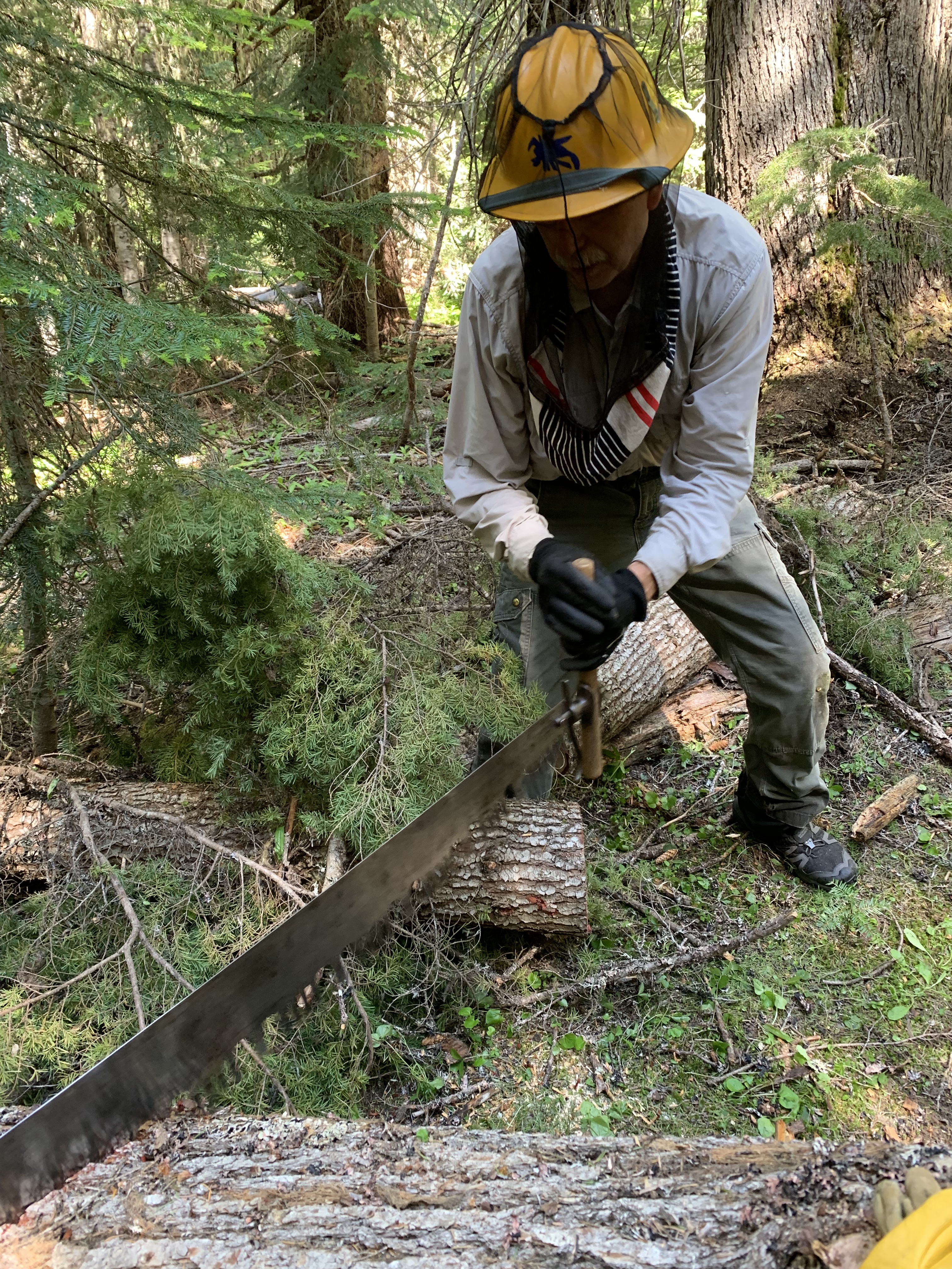
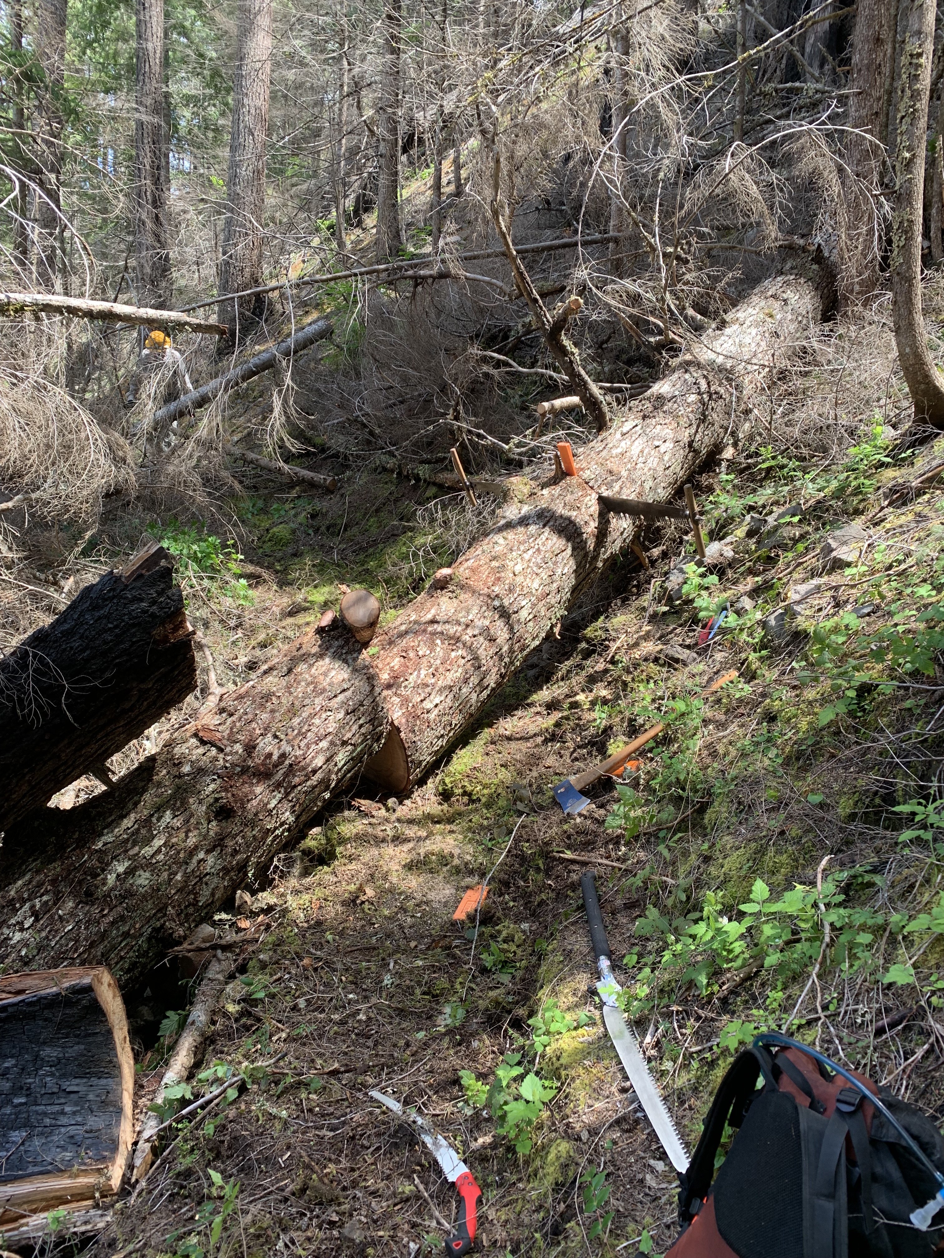
I wasn’t using the term to impress, which as a newcomer I might, to try to show people I understood the work, when I really didn’t. No, I used it automatically, because for the past 25 weeks, I had participated in at least one two man crosscut logout each week, sometimes two, spread out in five wilderness areas. This work is a big part of my life, and so comfortable with the words that I didn’t realize they had two different grammatical forms until now.
Learning the vocabulary of a new subject is an essential step en route to becoming competent. I would call it necessary but not sufficient. Learning the vocabulary takes time and effort; it can’t be pushed, and using the vocabulary before one has really lived or understood it brands one as a beginner, a layman, or otherwise not part of the group, unless, and this is important, one admits their newness at the outset. I know the vocabulary of medicine, but if I am explaining a skin problem to a dermatologist, I will preface my comments as, “I think it is one of those actinic thingies, or whatever you guys call it.” That means I am sort of using the language, but I admit to my ignorance. The dermatologist nods, smiles, and continues the evaluation. I told my urologist I couldn’t pronounce the generic name of the med I was on, only that it was an alpha-blocker, alfu-something or other. He laughed and told me what it was.
In the Navy, I had to learn nautical language: I knew about knots, port and starboard, but I had to learn about deck, overhead, bulkheads, topside and below, reefers (refrigerators), scuttlebutt (water fountains), heads (bathrooms), wardroom, officer’s country, the difference between the 01 (oh-one) deck (first deck above the main deck) and the 1 (first) deck (first deck below the main deck), forecastle, after steering, CIC (Combat Information Center, or “Christ, I’m Confused’), snipes (engineers), pork chop (supply officer), First Lieutenant (head of the Deck Department), or dog down something (tighten it). For some, a gig is a side job; in the Navy, it has two different meanings; 1) the Captain’s personal boat (noun) that we carried, with an outboard motor, and (2) a verb that meant to discipline someone, often used in the passive voice. Nearly a half century after leaving the Navy, I occasionally will use gig, along with gundeck, which means one has accomplished a job when in fact one did nothing. Like certain words in other languages that describe things better than we have in English, Navy-ese still is used by me along with “scosh,” from “scoshi” or a little (Japanese), example: “Give me a scosh.”
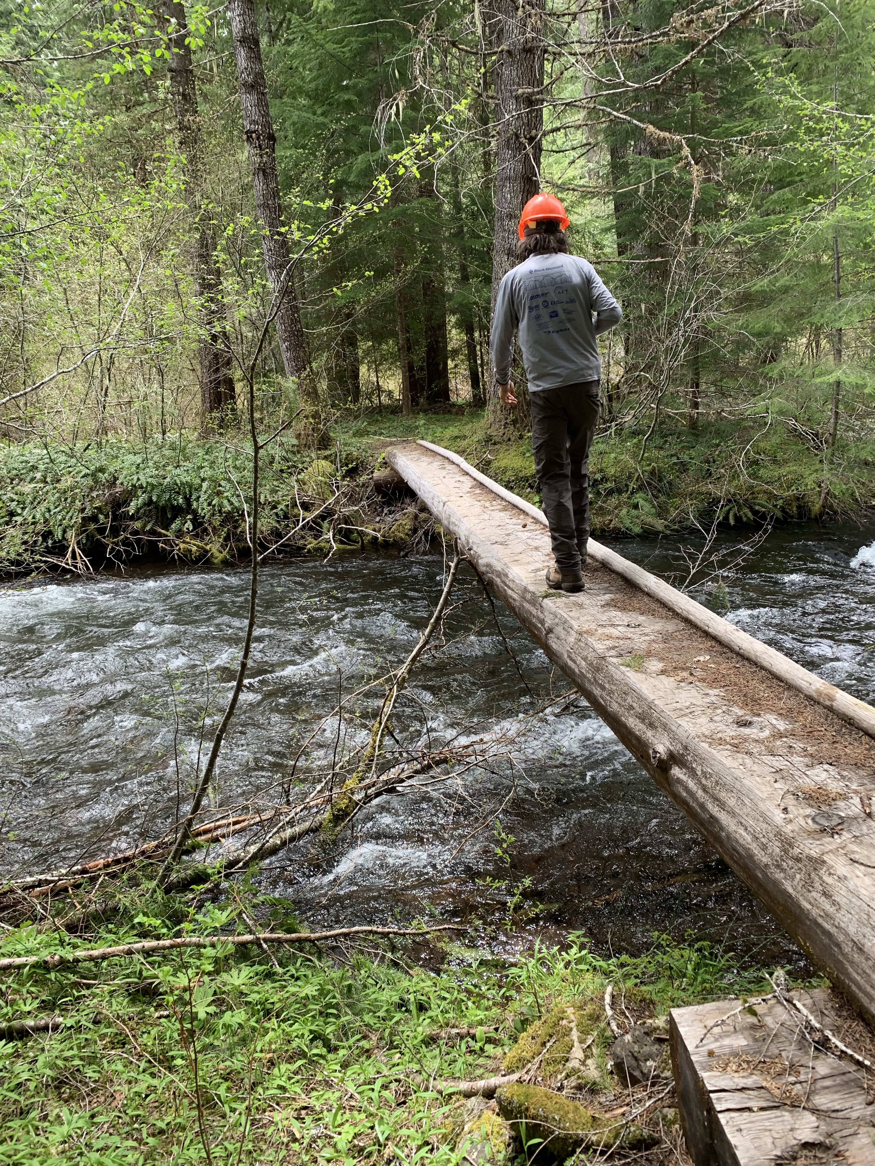
On a ride back from a logout a while back, I explained the injury I had suffered to my forearm when I slipped and slid down a rootball wad flat on my back, fortunately cushioned by my pack. My forearm immediately swelled, and I knew I had a hematoma. My explanation of it I later heard had the guy in back think that I had to be a physician, because I was talking so smoothly about something medical.
Having started at the bottom of many ladders in many fields (chemistry, medicine, statistics, medical administration, amateur astronomy, guiding canoe trips, learning a language, and now doing volunteer trail work), is that learning the vocabulary is the first big step towards competence. Pathology, which I took the second year of medical school, is where I really learned the vocabulary of medicine, even more than anatomy. The pathologist who taught the class said the first day, “This is where we turn medical students into doctors.” Well, at least vocabulary-wise.
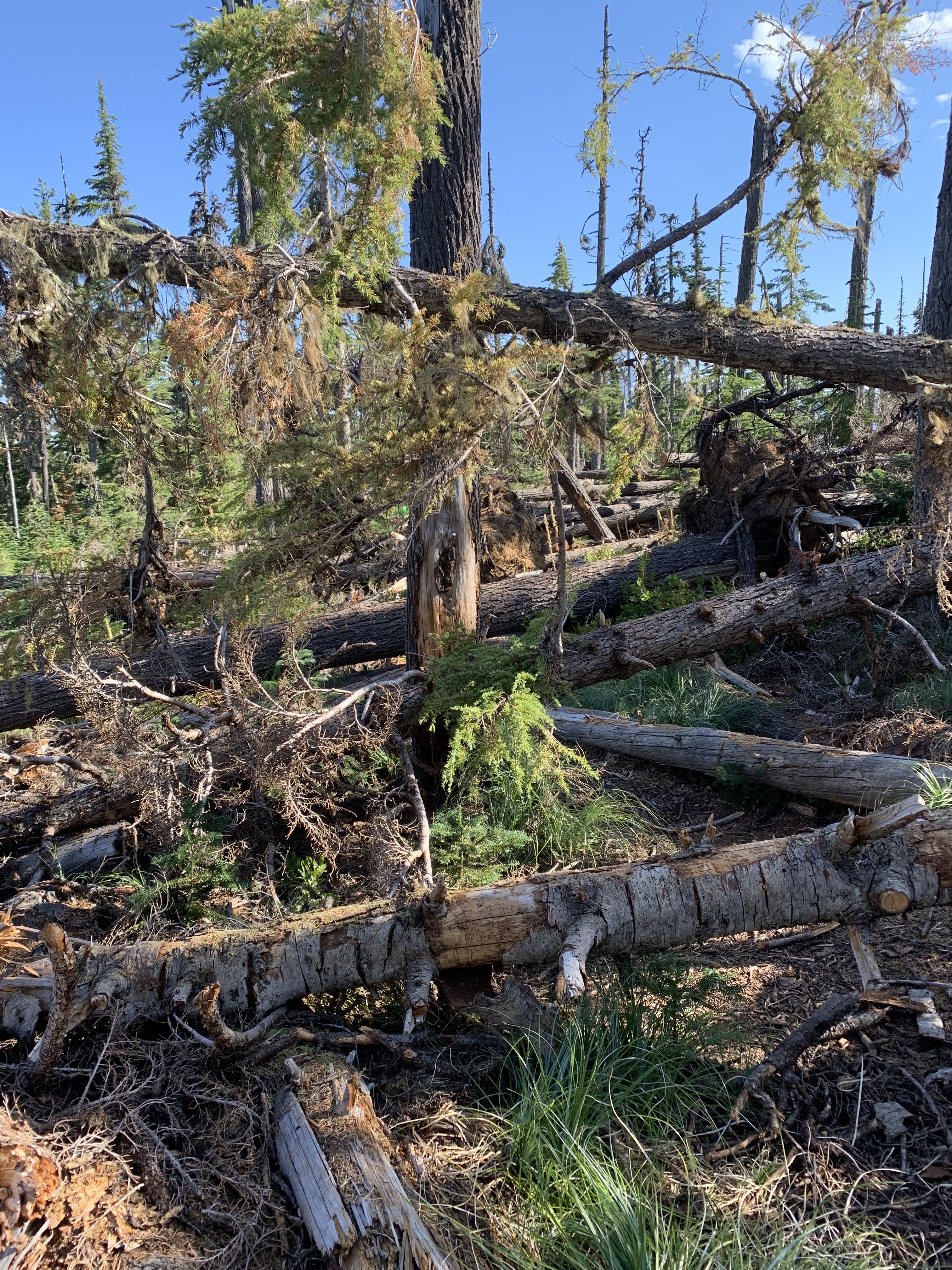
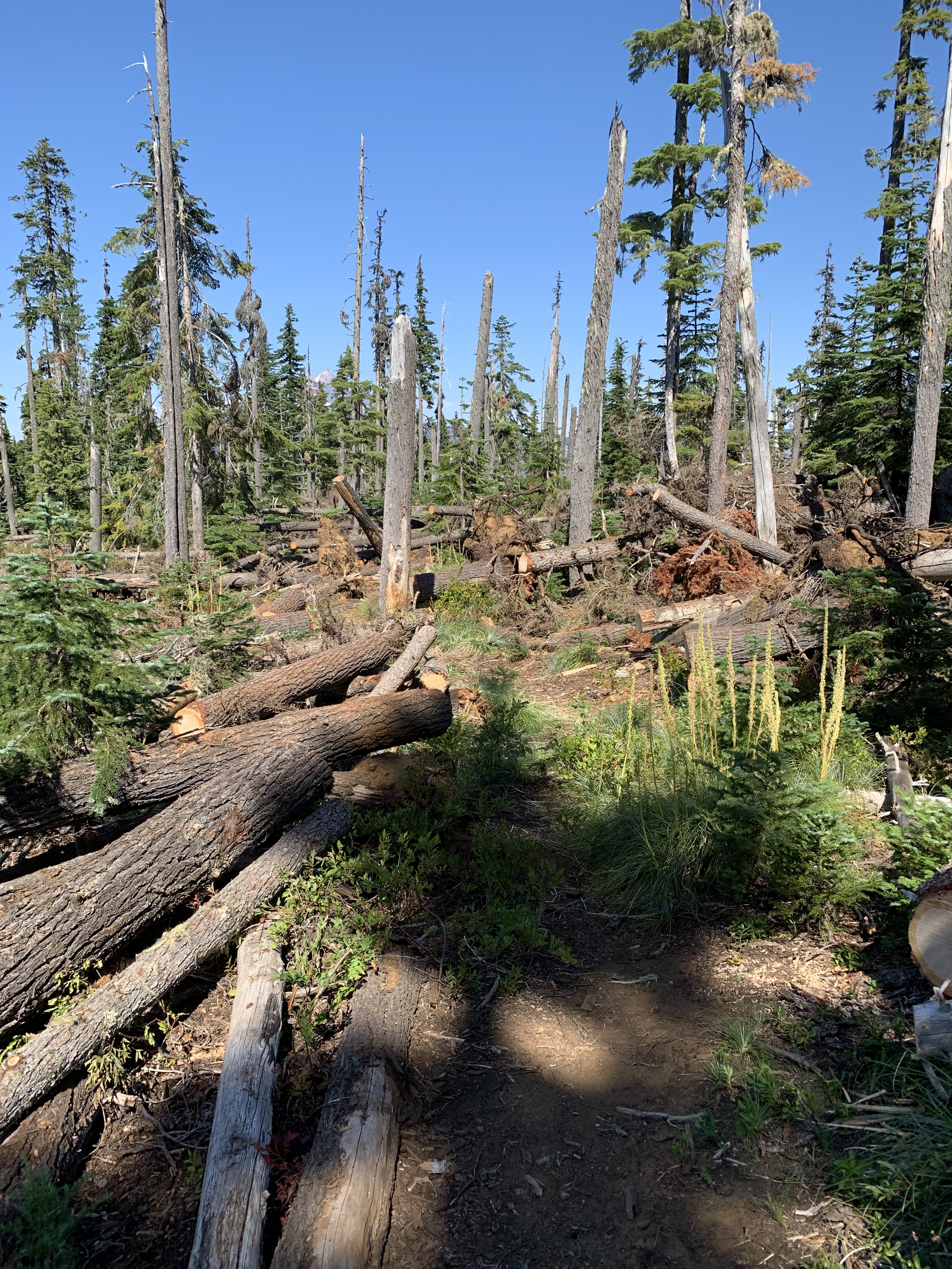
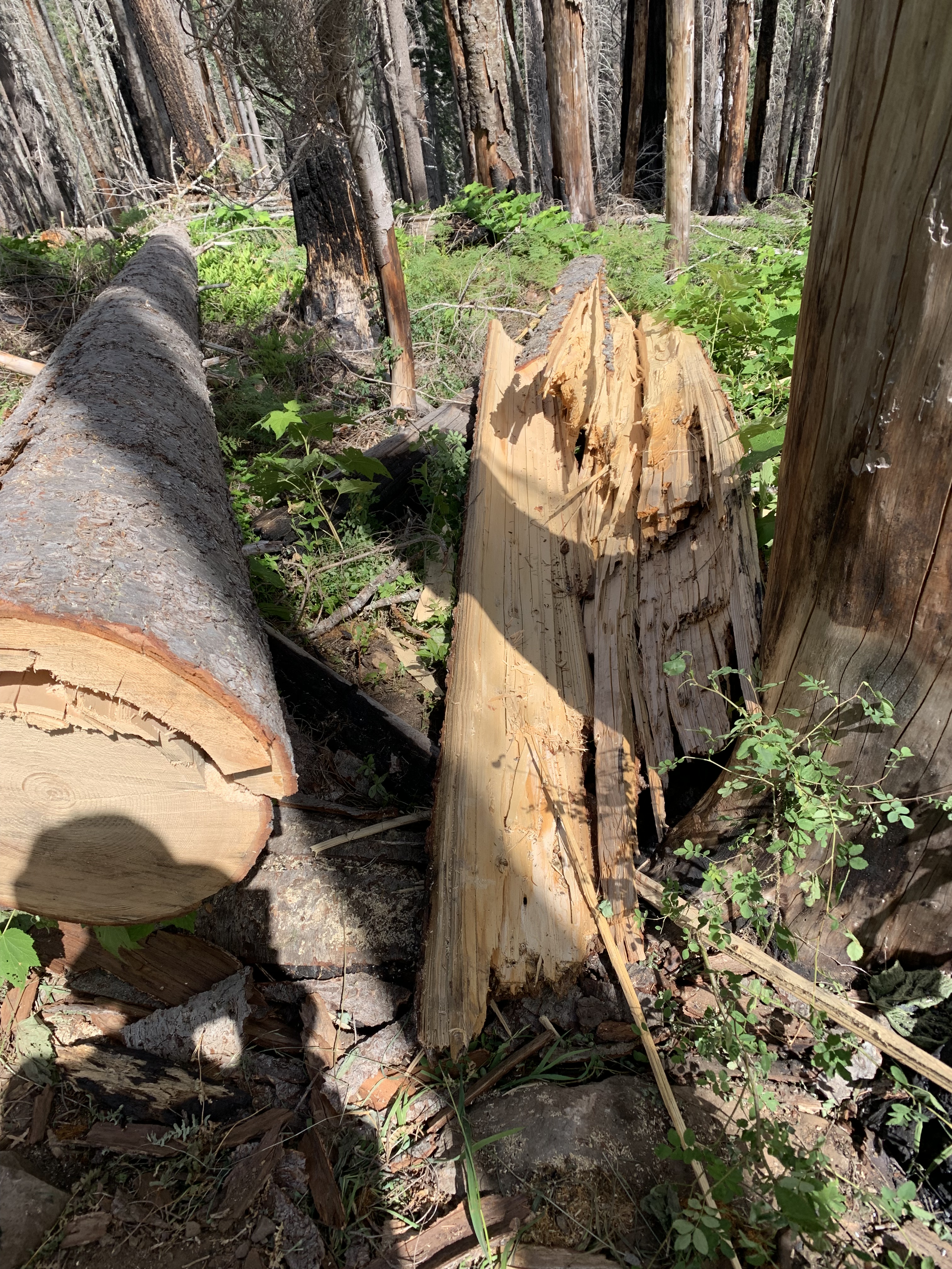
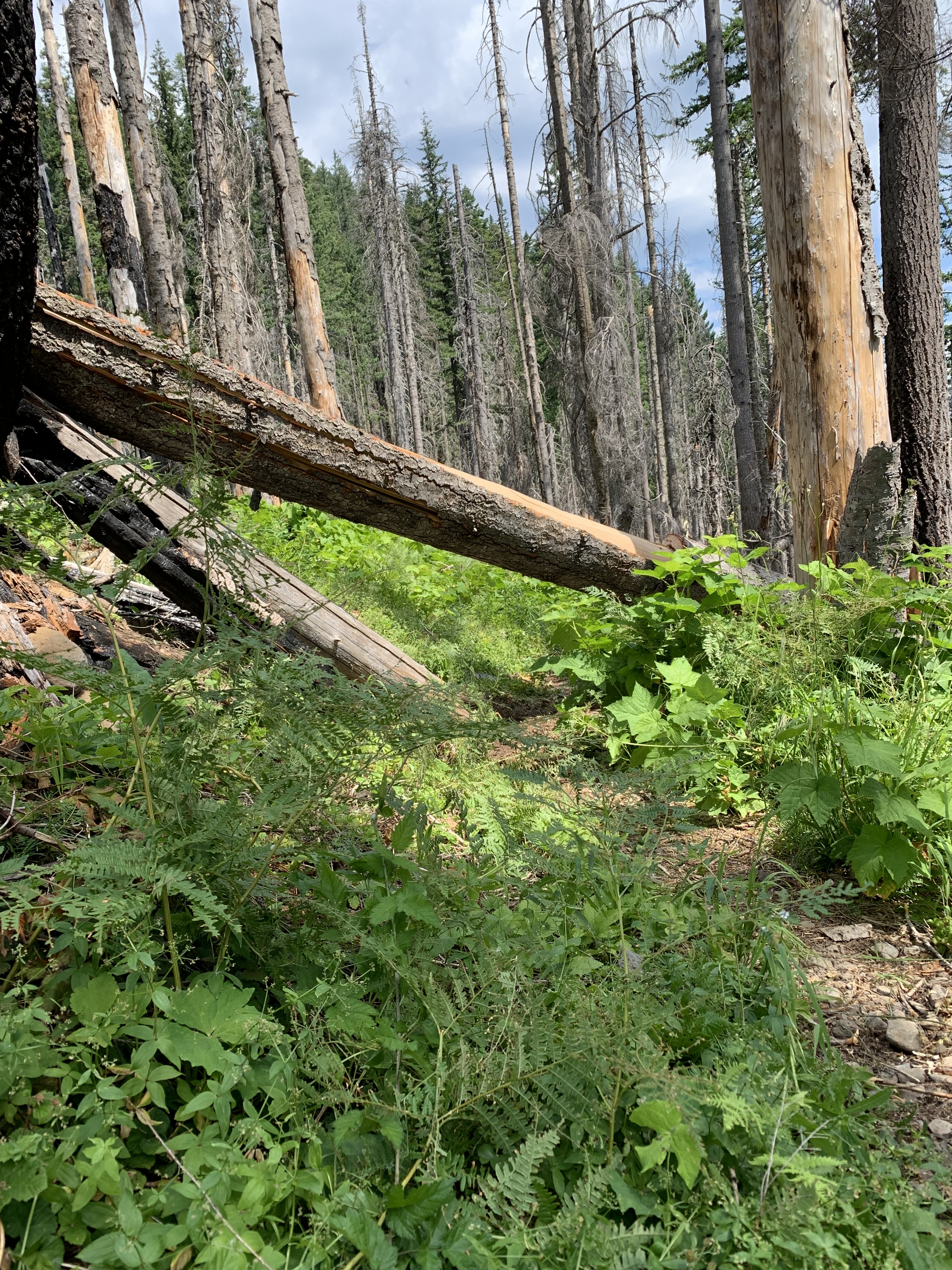
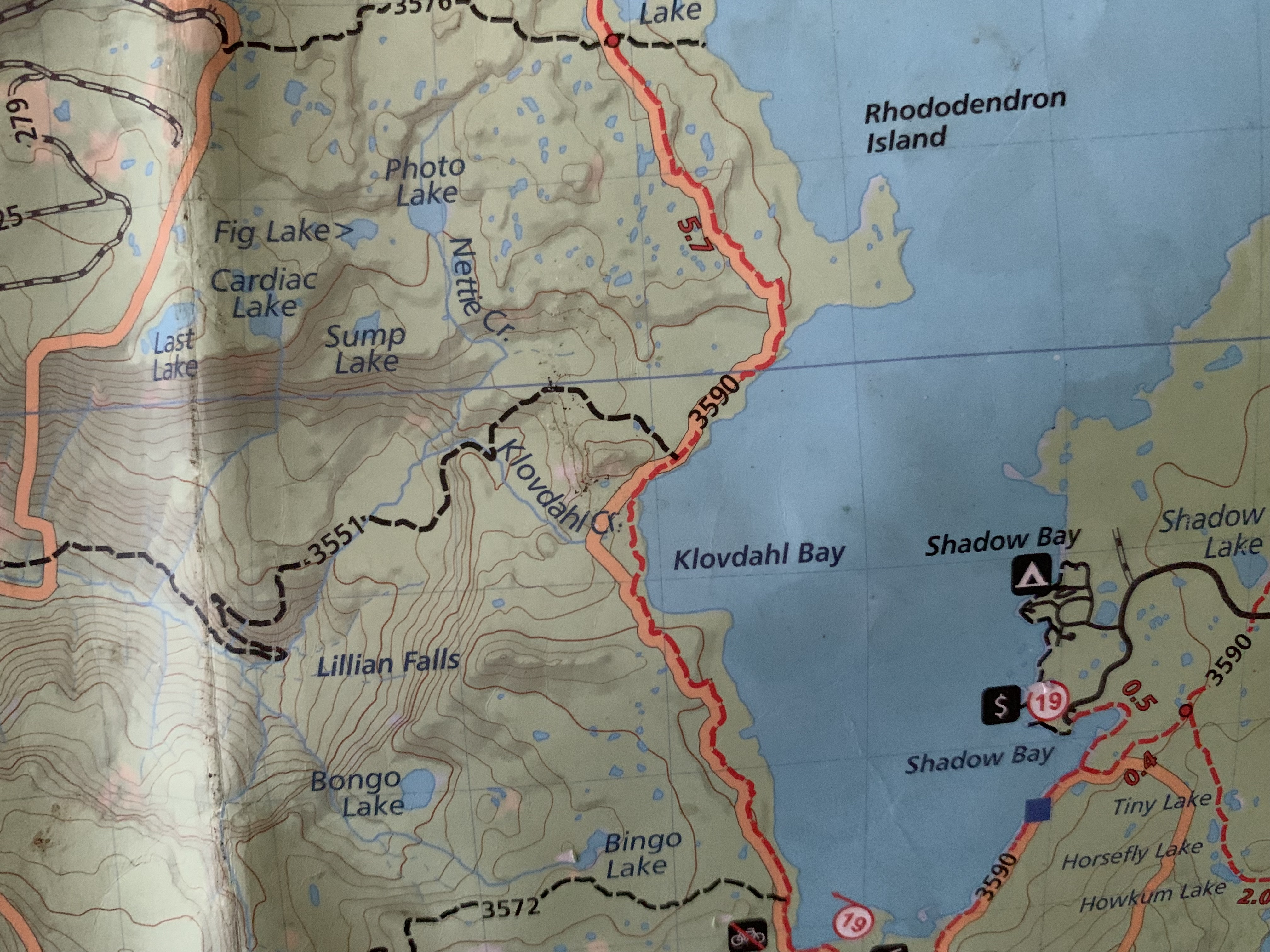
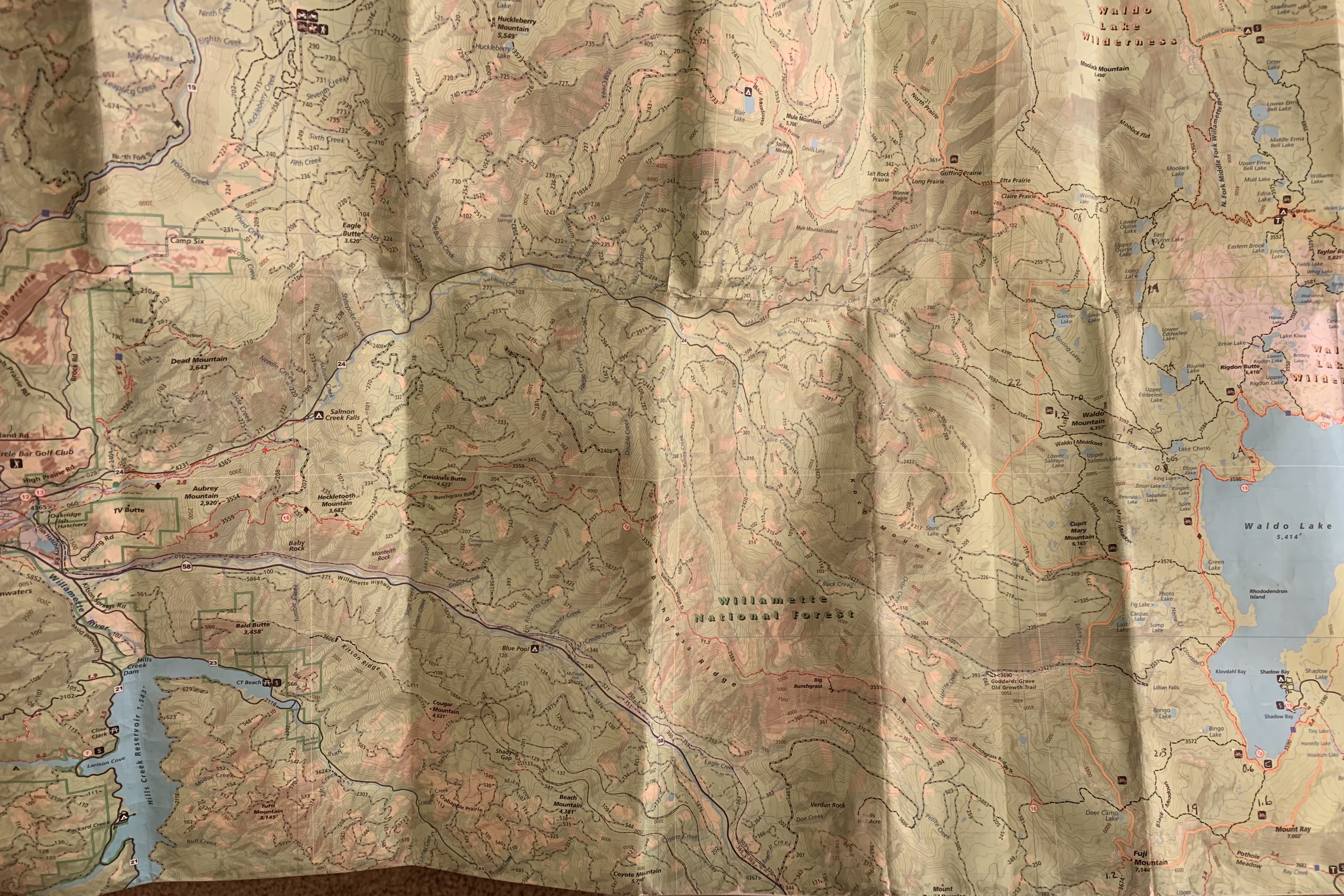
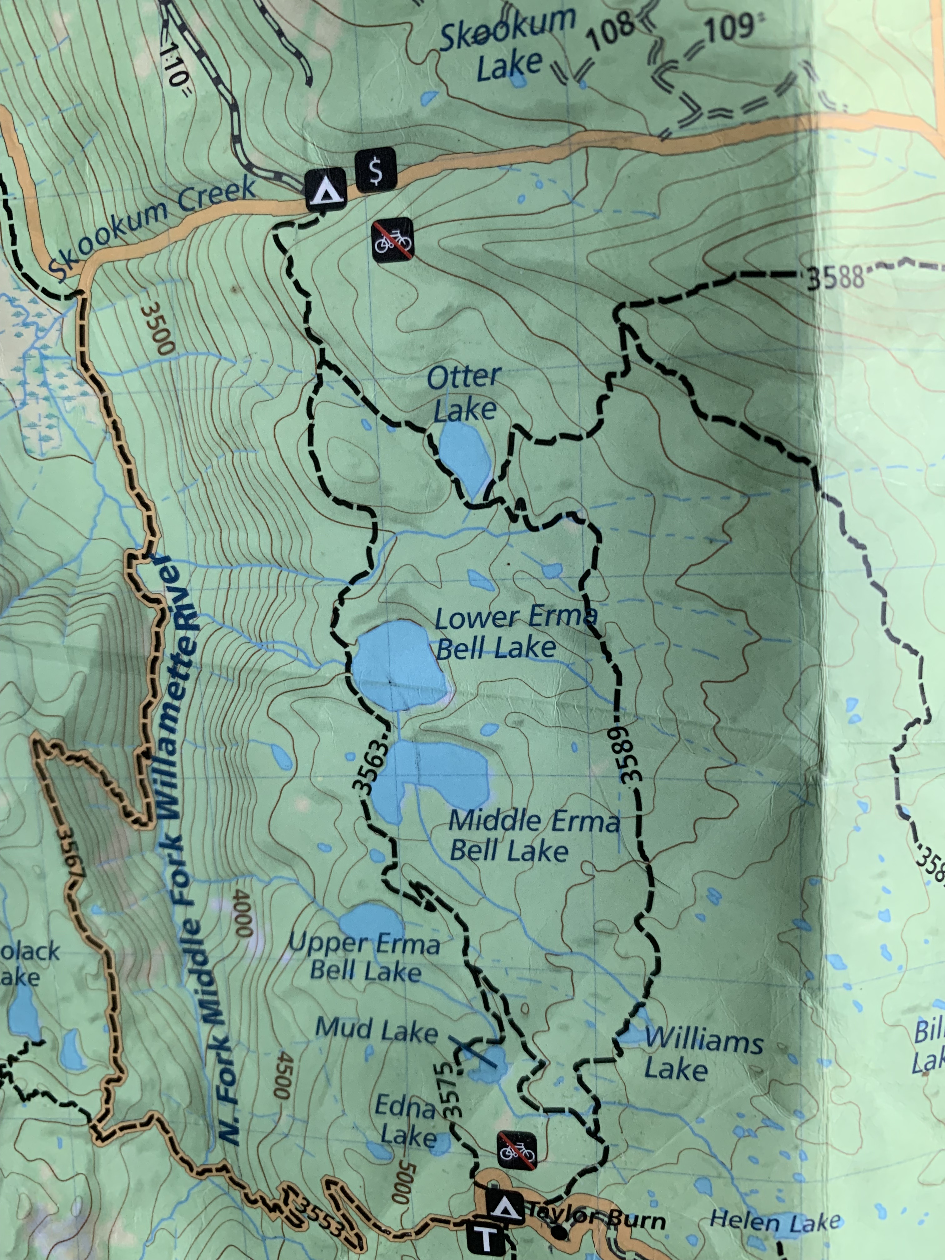
When I went to the canoe country to work, or to wilderness trails in the Cascades, I originally knew nothing about the work. I asked about strange words, like kerf (the opening in a saw cut), bind (where the saw is grabbed by the wood), leaner, buckskin (light brown log), or “how a log can talk to you,” for logs certainly have all of those characteristics. While knowing the vocabulary doesn’t make one competent, someone who neither knows the words nor pronounces them correctly stands out as a beginner, not to be ridiculed if the person is trying to work, but perhaps needs a slight toning down if they are trying to impress you. I learned from an old timer, on a snowy drive to doing trail work one winter morning, that “to roll the road,” is to drive breaking down the sides of snow (or mud) that will form tire grabbing ruts if one doesn’t do that.
Little by little, through now eight-five logouts, the noun form, I have graduated from Apprentice, past Beginner, to some Competence, to Deal with more difficult logs, to Explain my work to others, and to Follow the Great masters whom I know.
The route begins with learning the language of the field, asking questions, and showing up, for a large part of success is showing up. When I started, I thought a raker was an individual, not a piece of a crosscut saw that acts like a small chisel during sawing. I now speak the language, and while I will never stop learning, will neither be a C Sawyer nor an instructor, I have reached a skill level I never once dreamed existed, either in life, let alone for me.
I’ve come a long way, far to go, but with good people who have “rolled the road” for me.