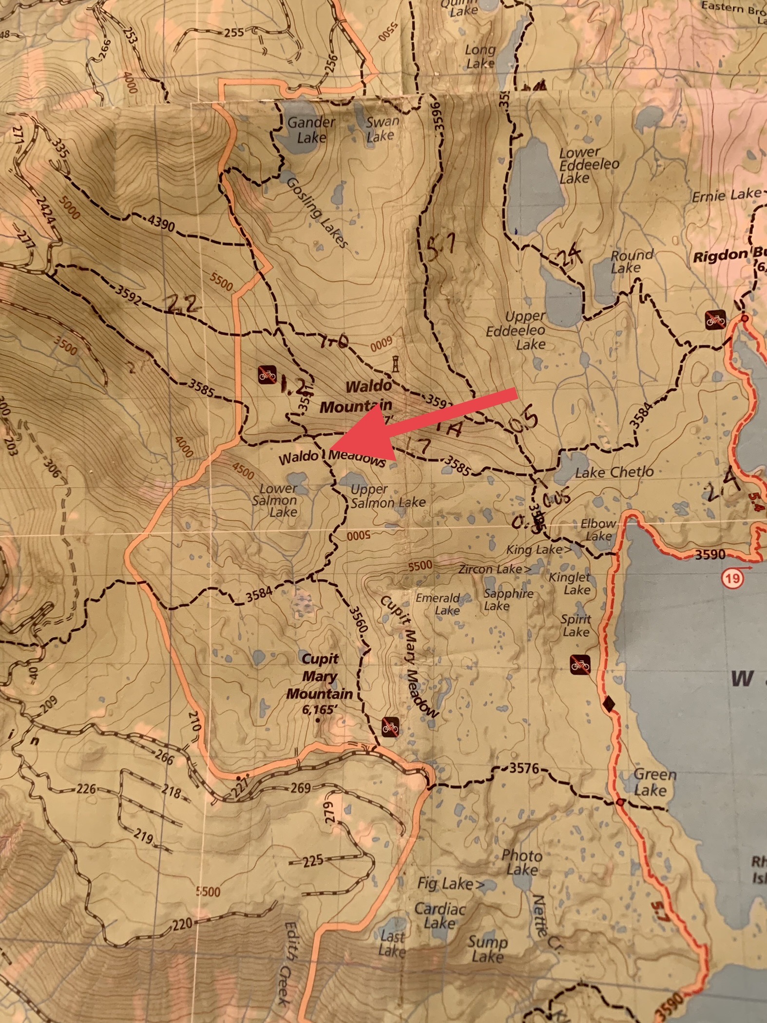
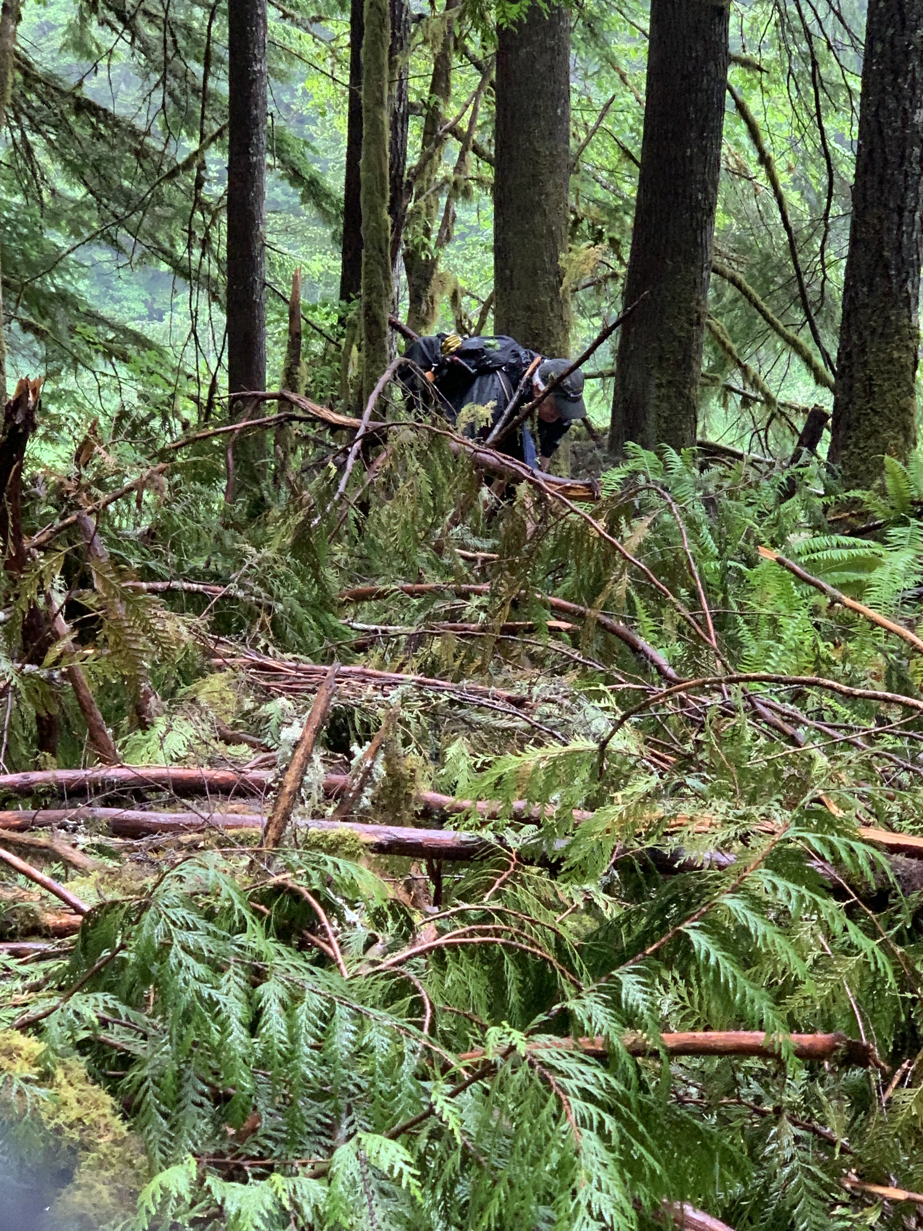
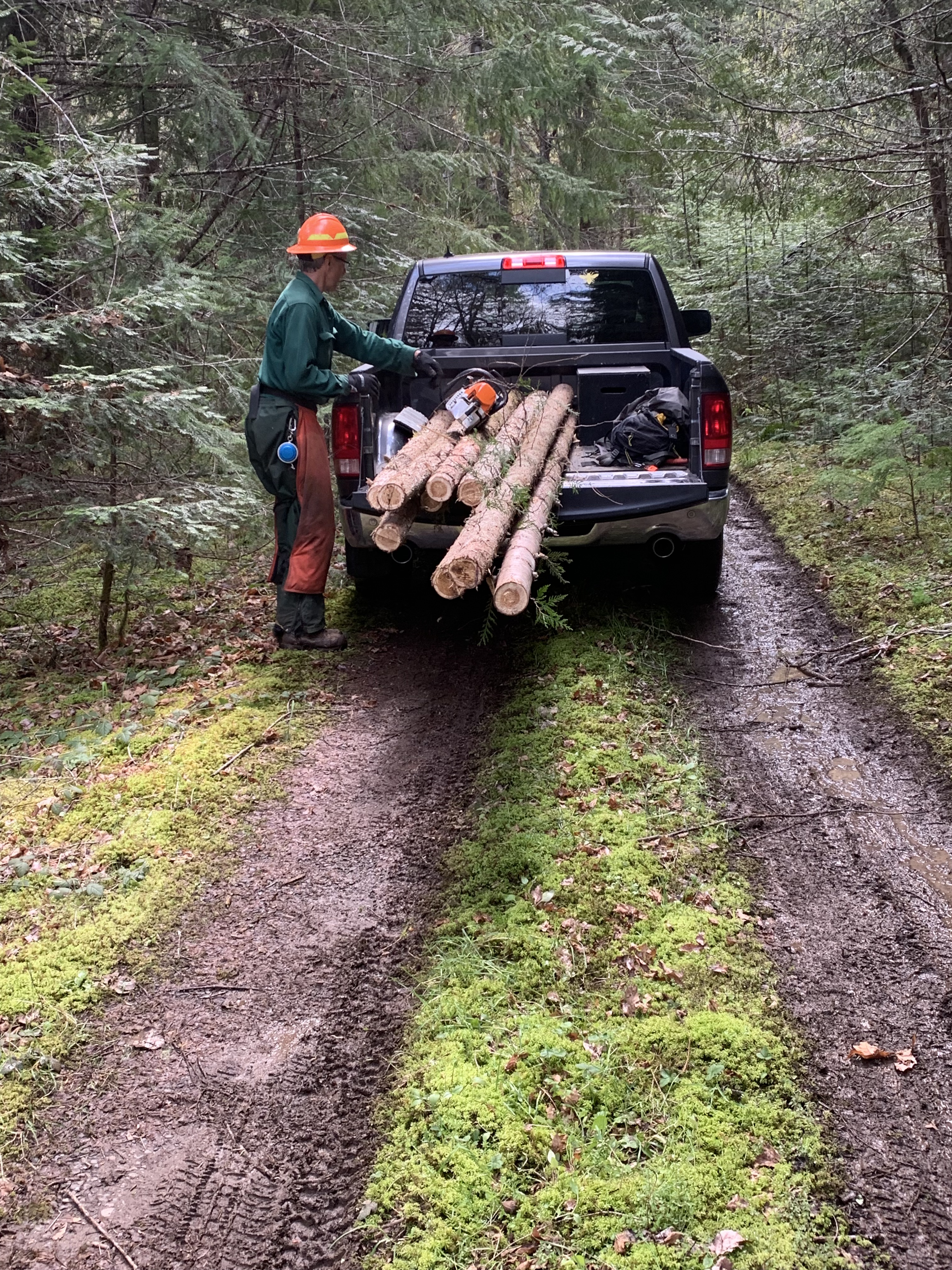
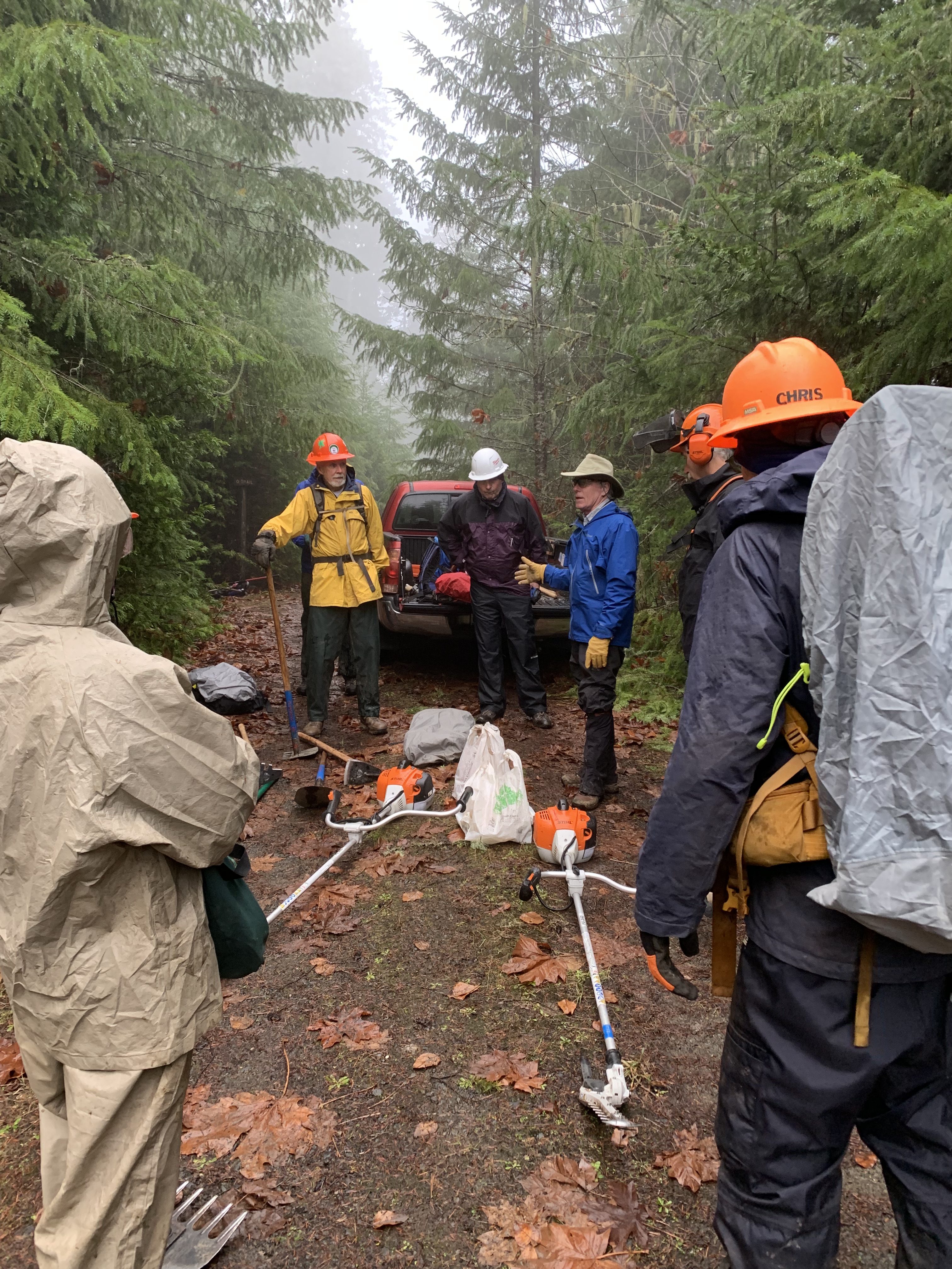
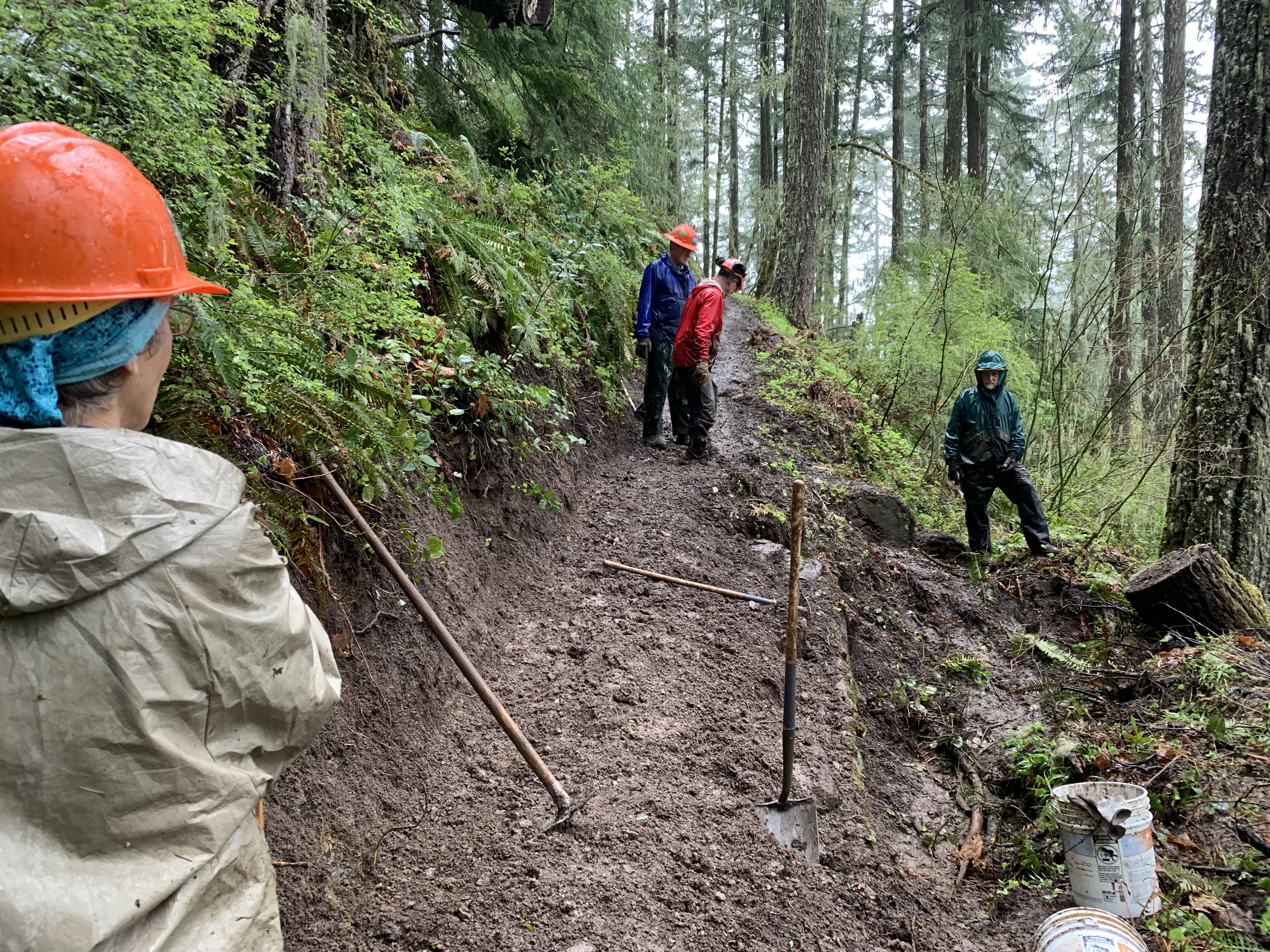
I dropped my pack at the Horse Creek Trailhead, opened it up, took my foam pad out, sat on the ground and lay back on the pad against my pack, knees up in the air. We had just completed 13.2 miles of the Separation Lake and Horse Creek trails, logging out the middle stretch of 2.7 miles. Three weeks earlier, we had logged out Separation Lake Trail’s 5.6 miles to the bridge over Separation creek. Two weeks ago, we had done the same at Horse Creek, on the far side of the drainage, finishing 5 miles later on a ridge, climbing 1700 feet in the process. Last week, we had cleared 3 miles of Louise Creek to the snow line, and this day, we did what we called the Horseshoe Loop, with a car shuttle, even finding a few newly fallen logs since our last visit.

“When did you get here?” came from Julie, well less than half my age, who showed up a few minutes later. “I couldn’t catch you!”
“I haven’t been here long,” I replied. I don’t tell people how far they were behind me any more than I ask how long others have arrived before me. It’s not a race. Once I am in cruising mode on a trail, I don’t vary my speed too much, barring logs or beautiful spots. I can’t go faster longer, or that would be my default speed. And I don’t want to go slower, especially if there is a lot of ground to cover, time is limited, or the weather is unfavorable.

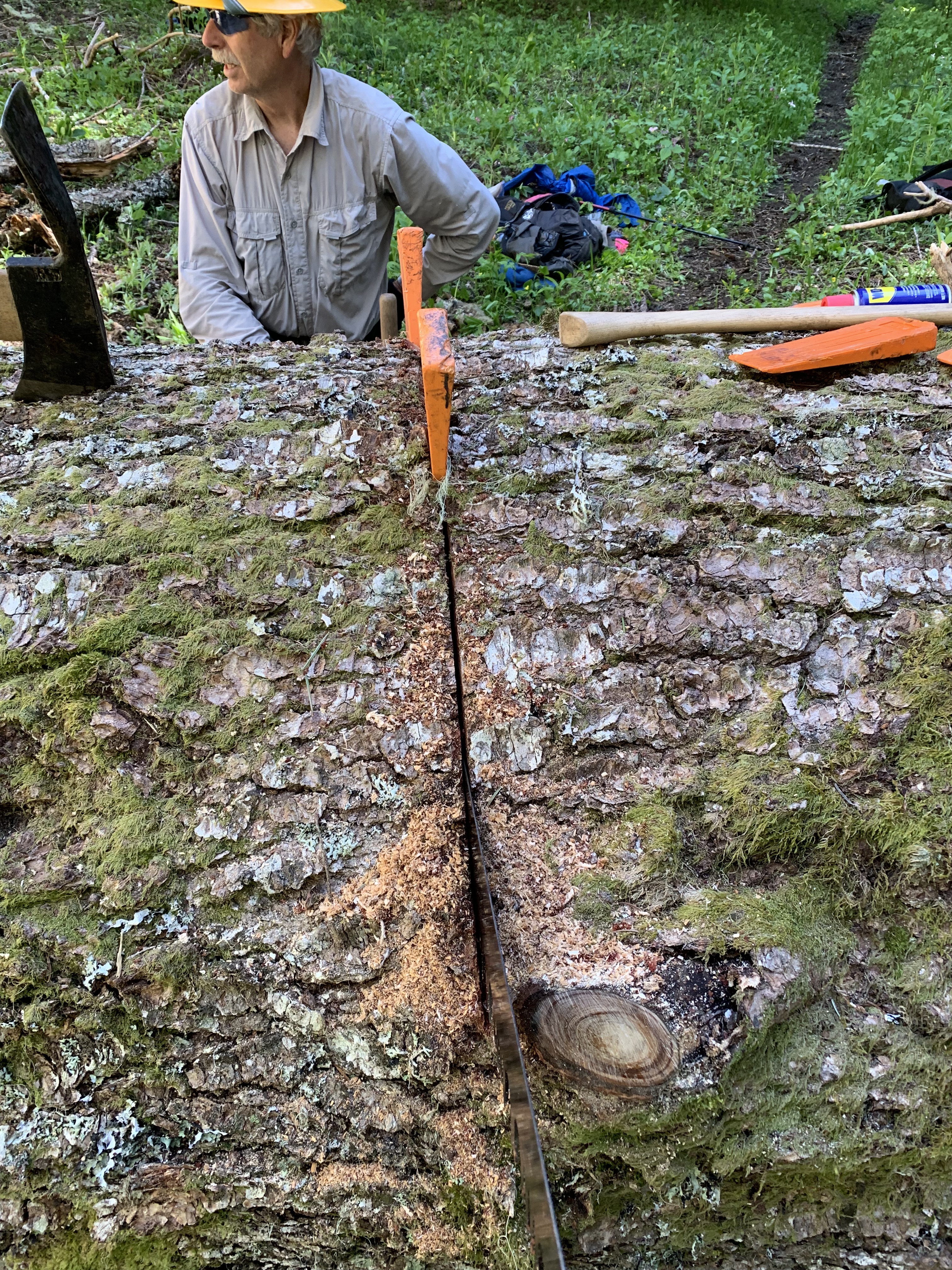
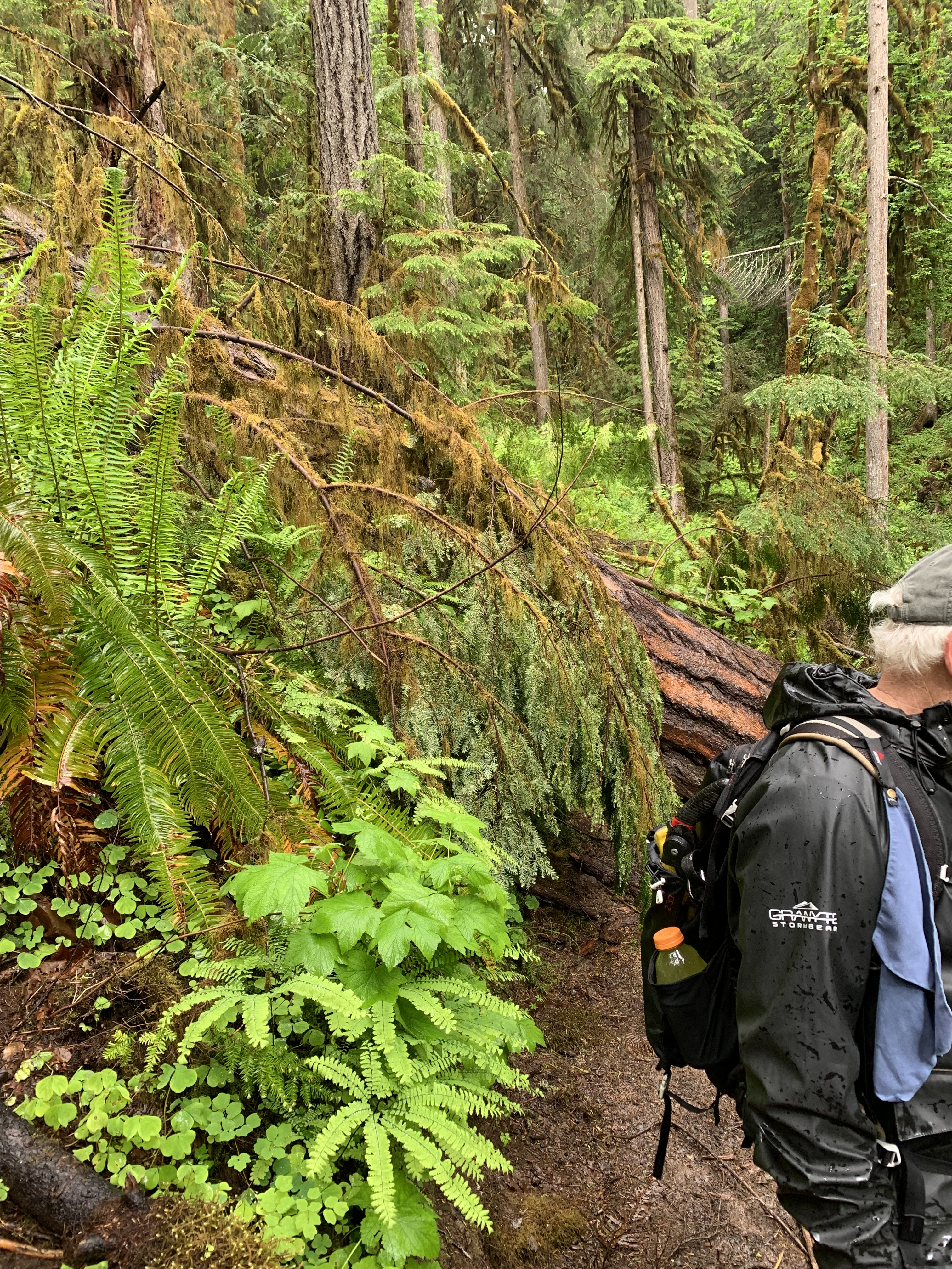
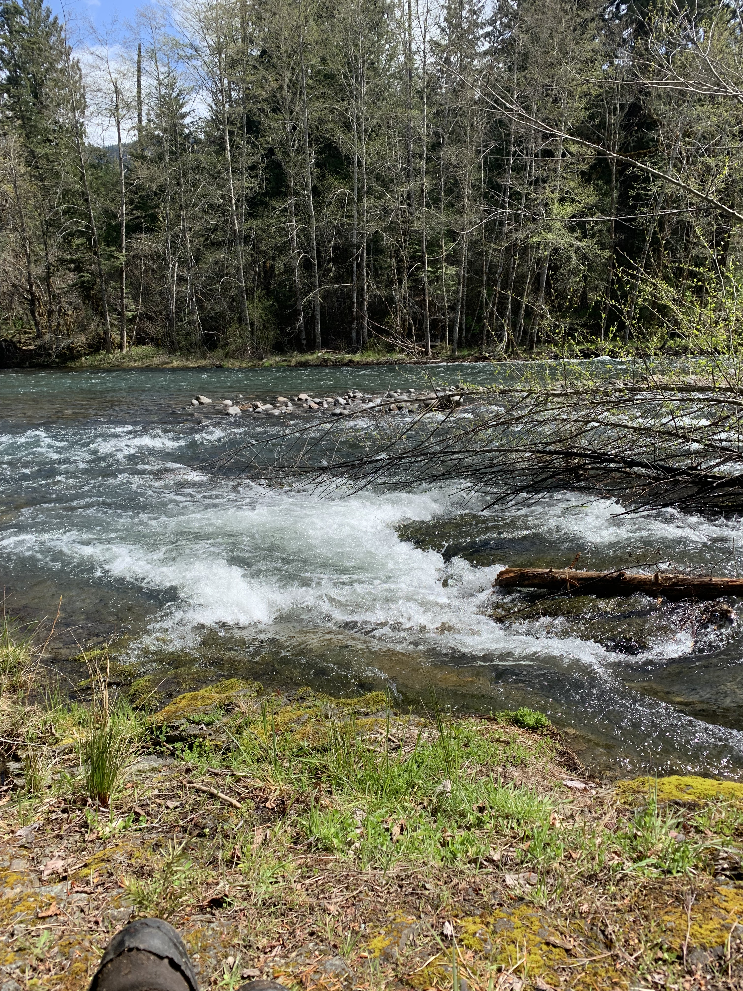
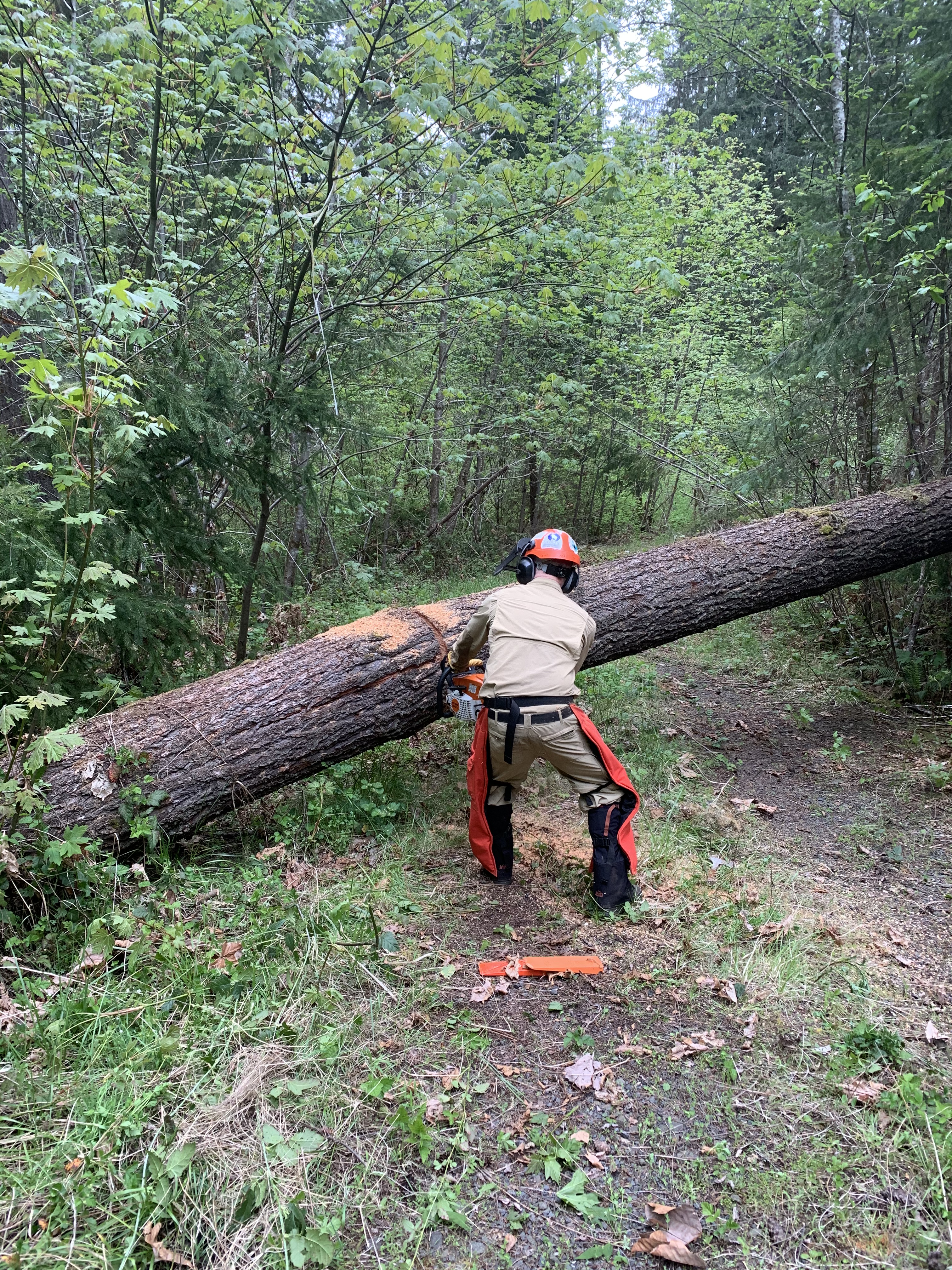
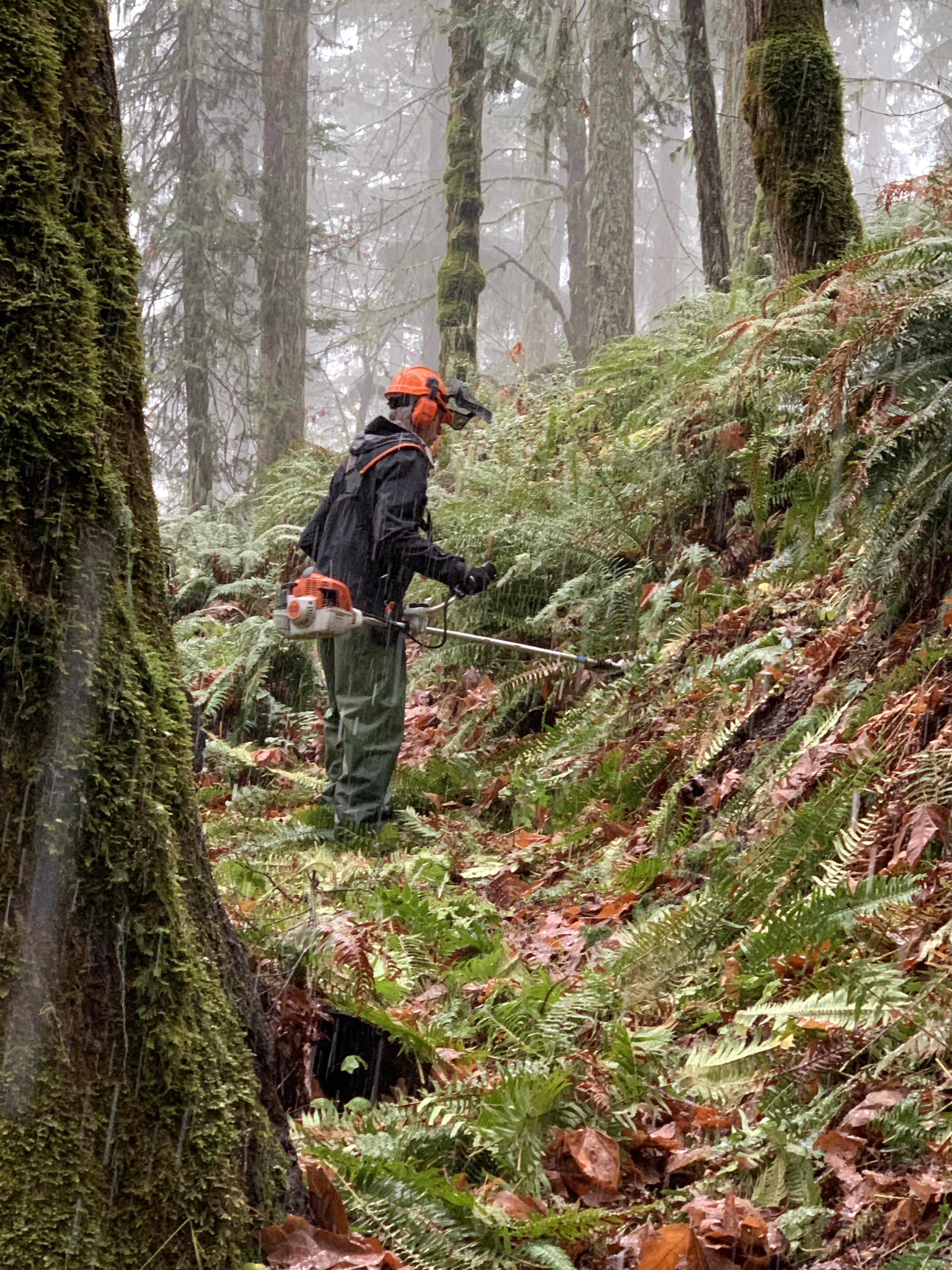
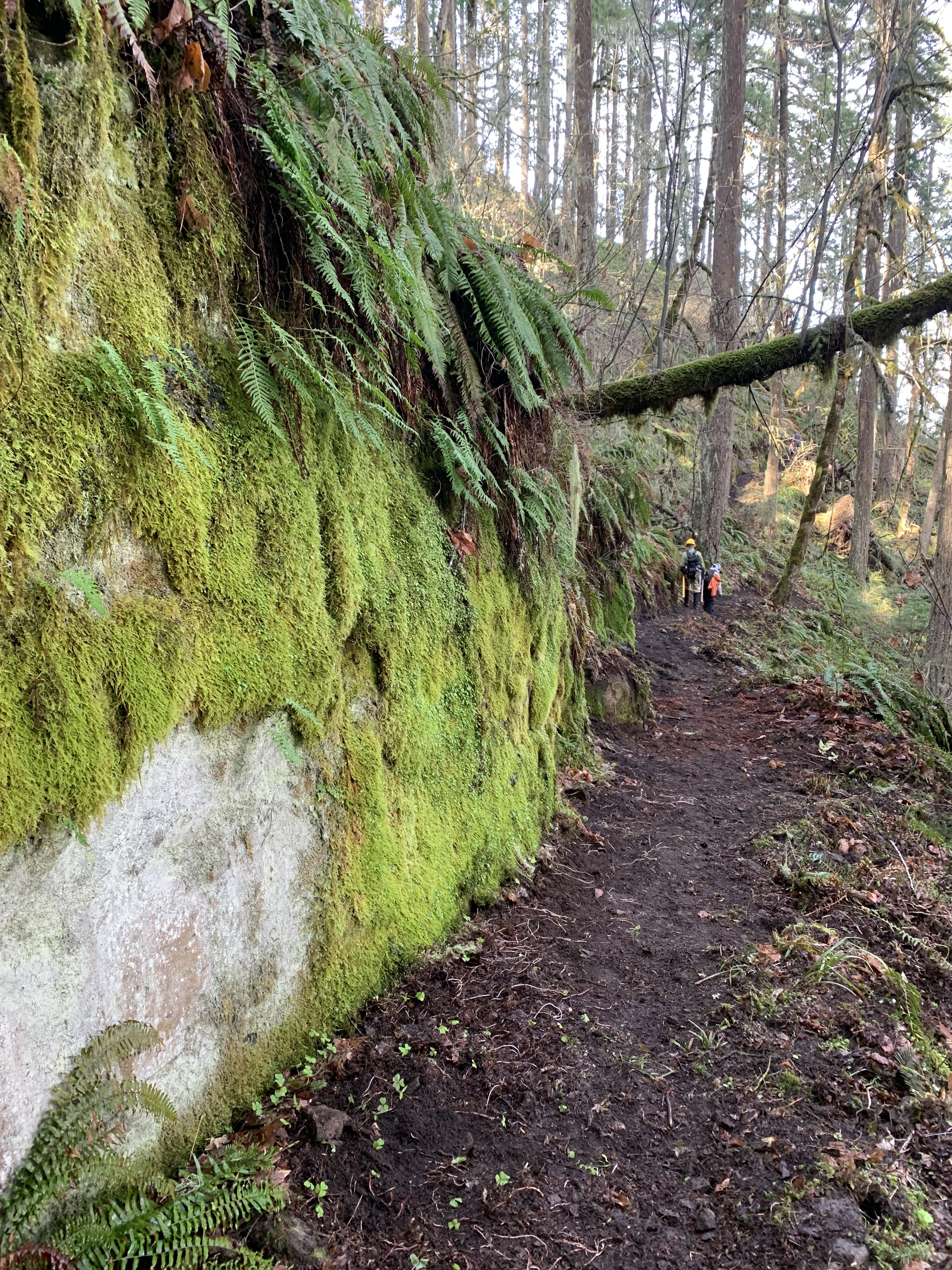
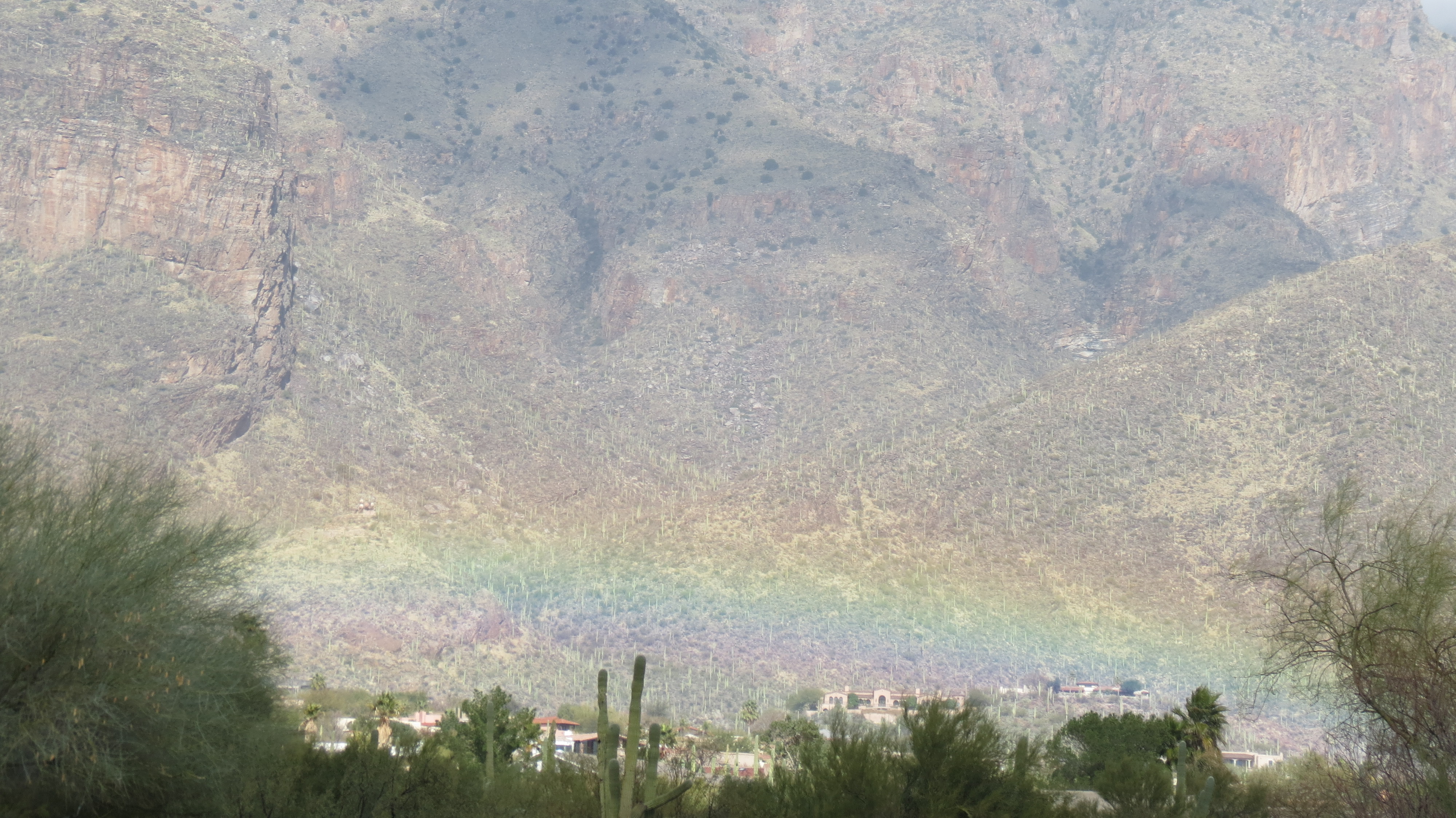
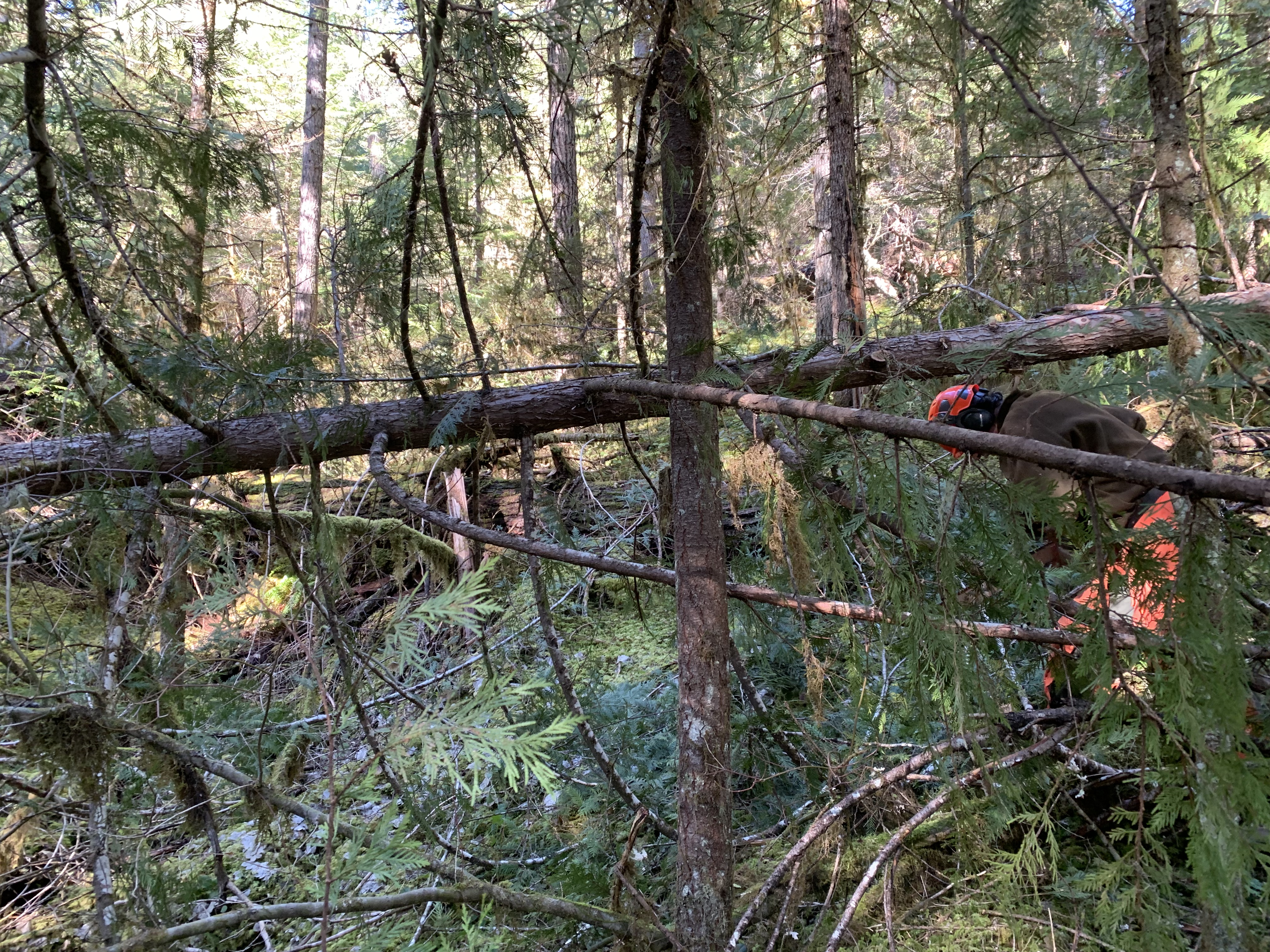
I started the hike in front. However, I encountered a new log, fallen in the past two weeks after we had cleared the trail, and stopped to remove it. I was then at the back of the group. I don’t mind being at the back as long as I can see the next person or know I am relatively close, for I know that I am still connected to the group. I moved up a place when we got to the bridge across Separation Creek. I had passed one person on a stream crossing, since I tend to go right across if the water isn’t any deeper than a foot. My gaiters will keep me dry for a few seconds at that depth. I briefly caught up to Julie, who hadn’t hiked this trail before and wondered if we were still on the right trail. We were, and shortly afterwards, she was long gone ahead. The upstream trail part was in the 4th and 5th miles, and I was already tired, given the tools I was carrying. This was going to be a long day. We were in a canyon, and we were going to have to climb out before the long descent to the end. I tried not to think about the climb.
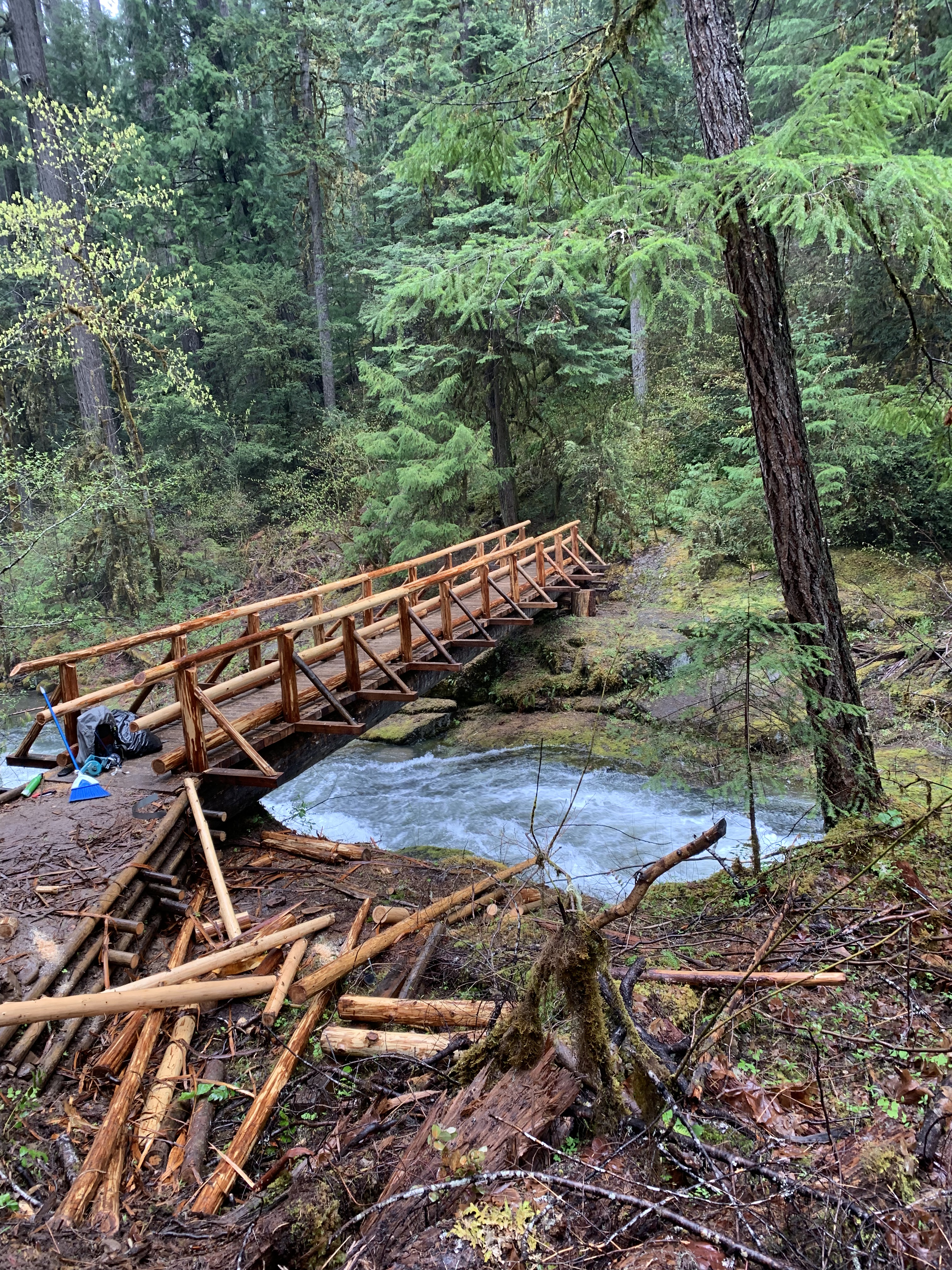
After crossing the stream, on a bridge that was a bit dicey, we started the logout part of the trip, 2.7 miles to the Horse Creek Trail via Separation Lake, half way, where we would eat lunch.
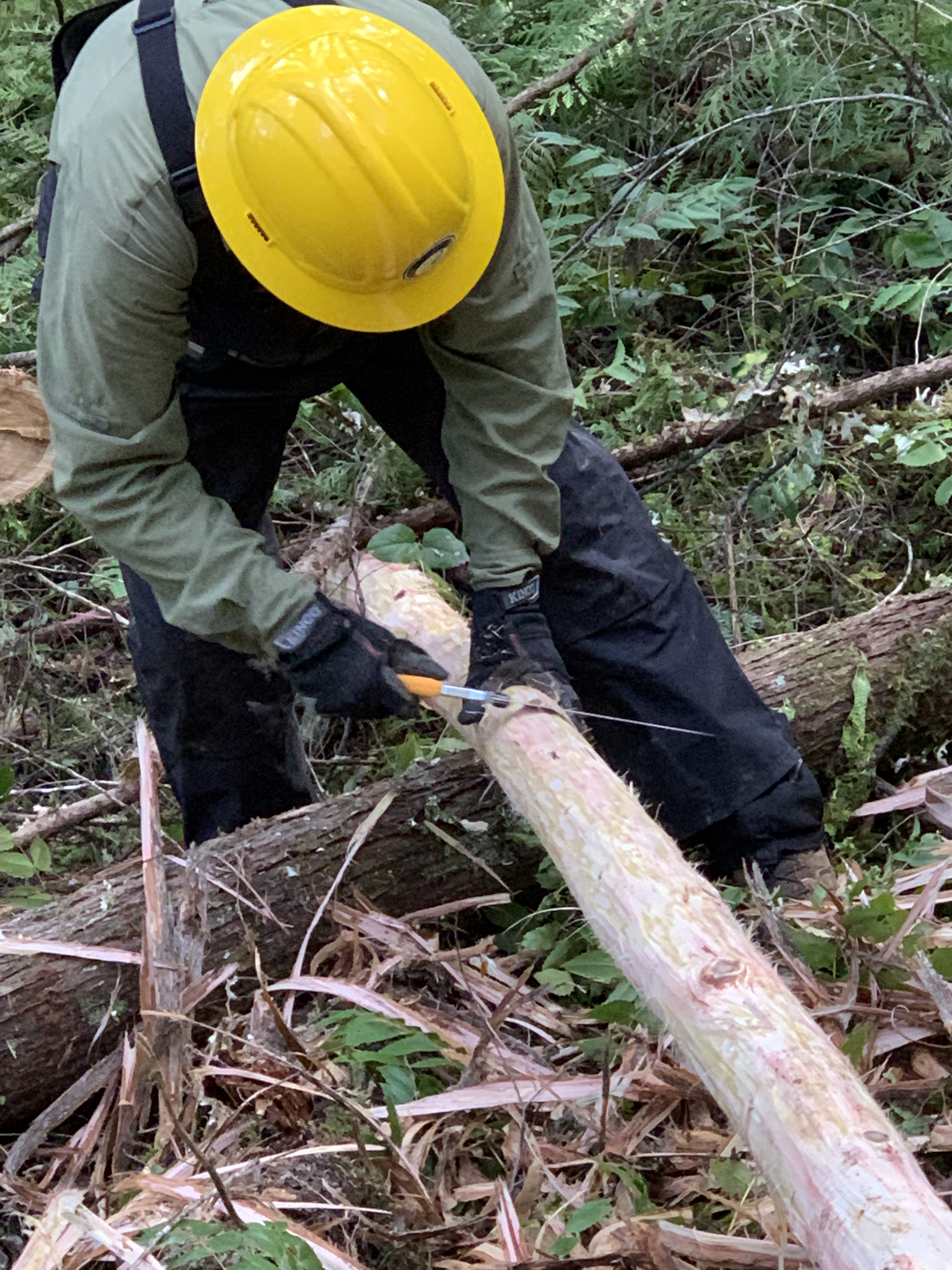
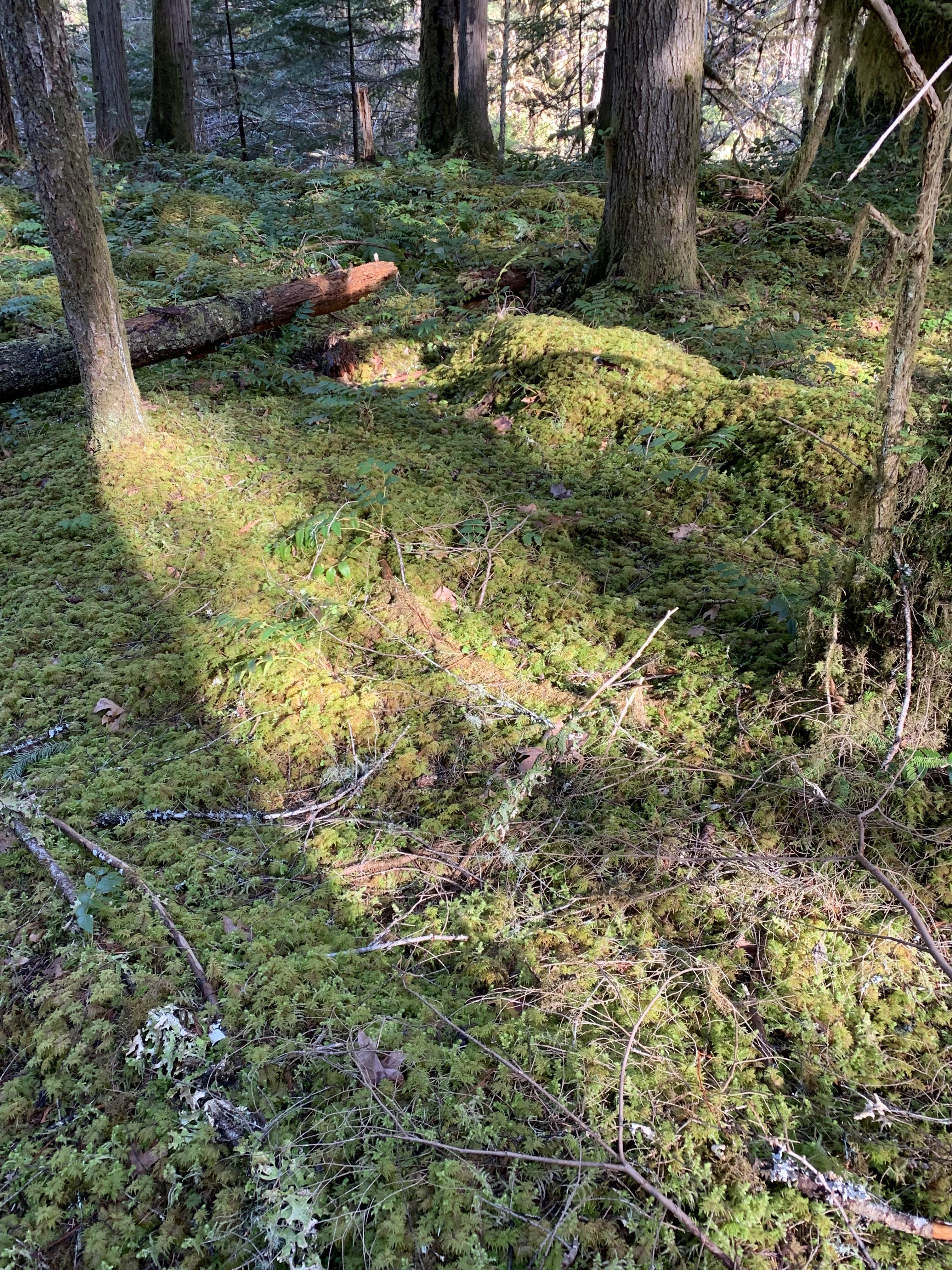
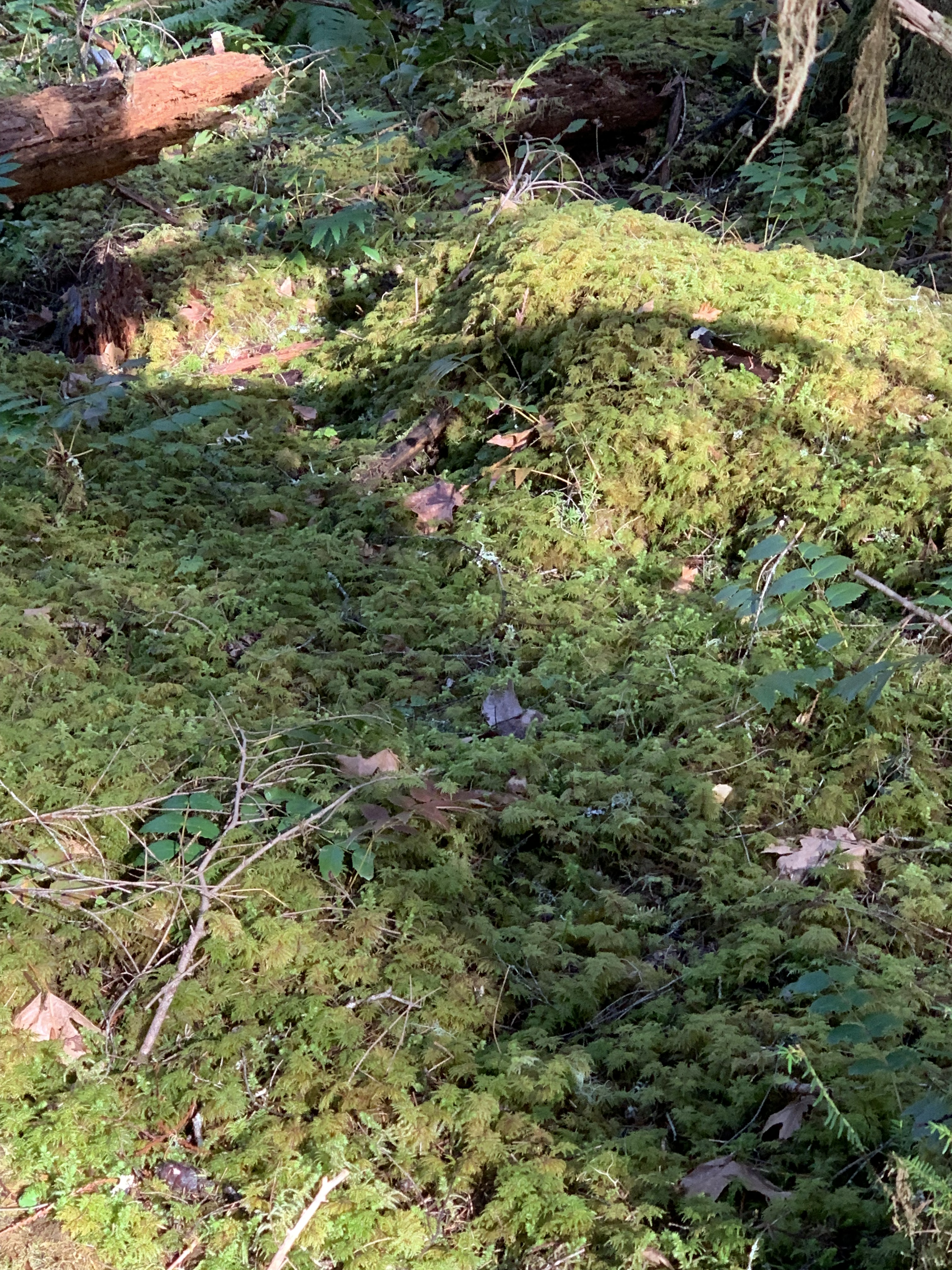
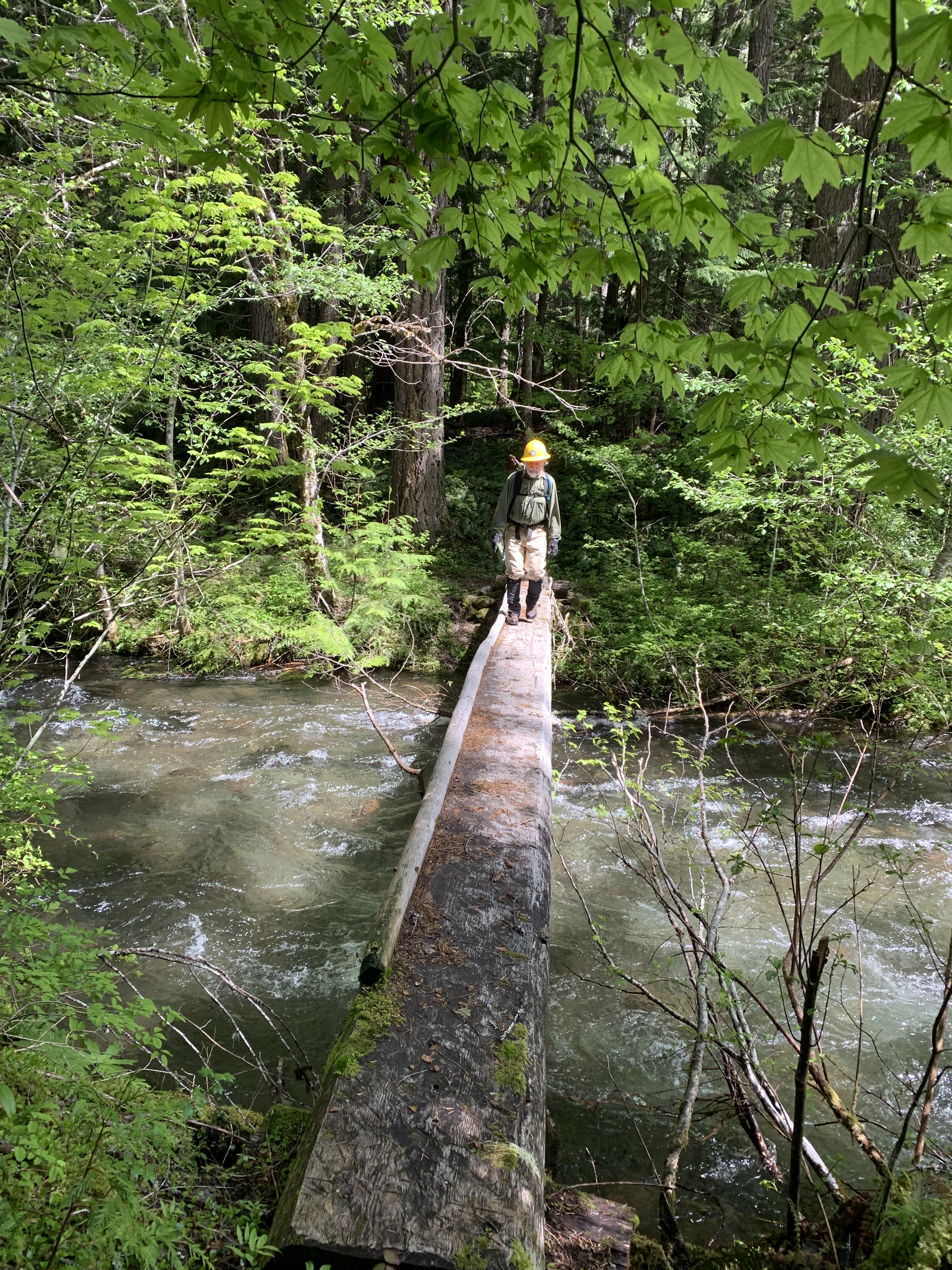
Four logs later, we arrived at the campsite. We take a half hour for lunch, but I left a little earlier to avoid becoming too stiff. If I started flagging, I wanted to at least start to fall back from the front. But there were two new logs to cut out, so after two of us dealt with them, I was once again at the back. There were two stream crossings where log bridges again were narrower than I liked, not because the water was fast moving—it wasn’t—but it was deep enough that I didn’t want to have the weight of wet clothes to add to what I already was wearing and carrying.


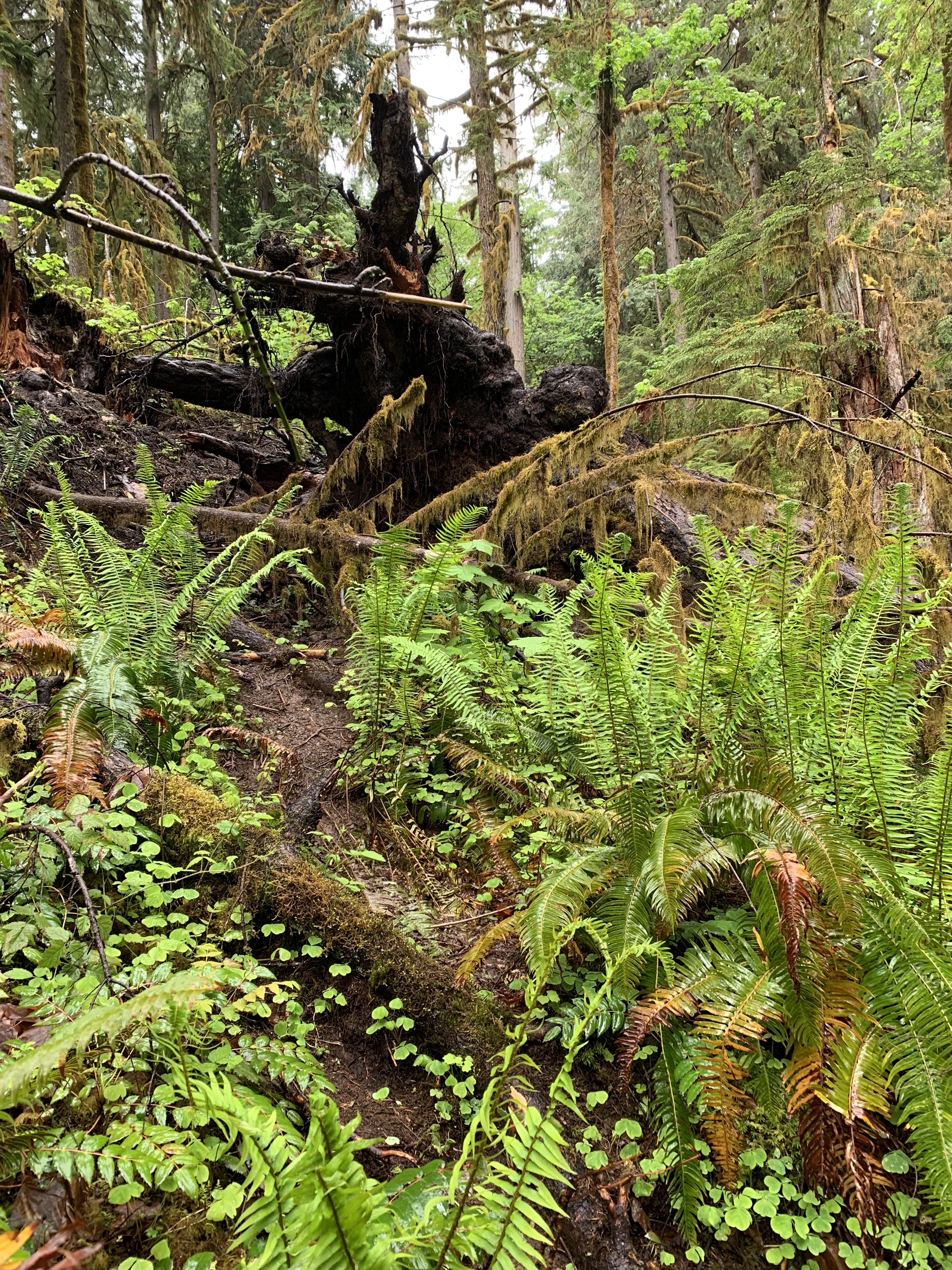
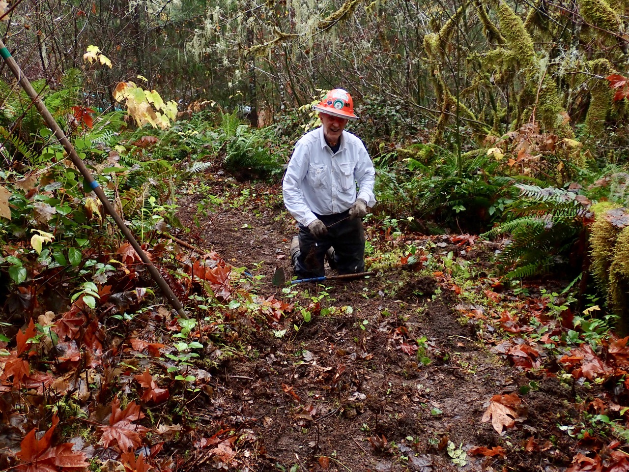
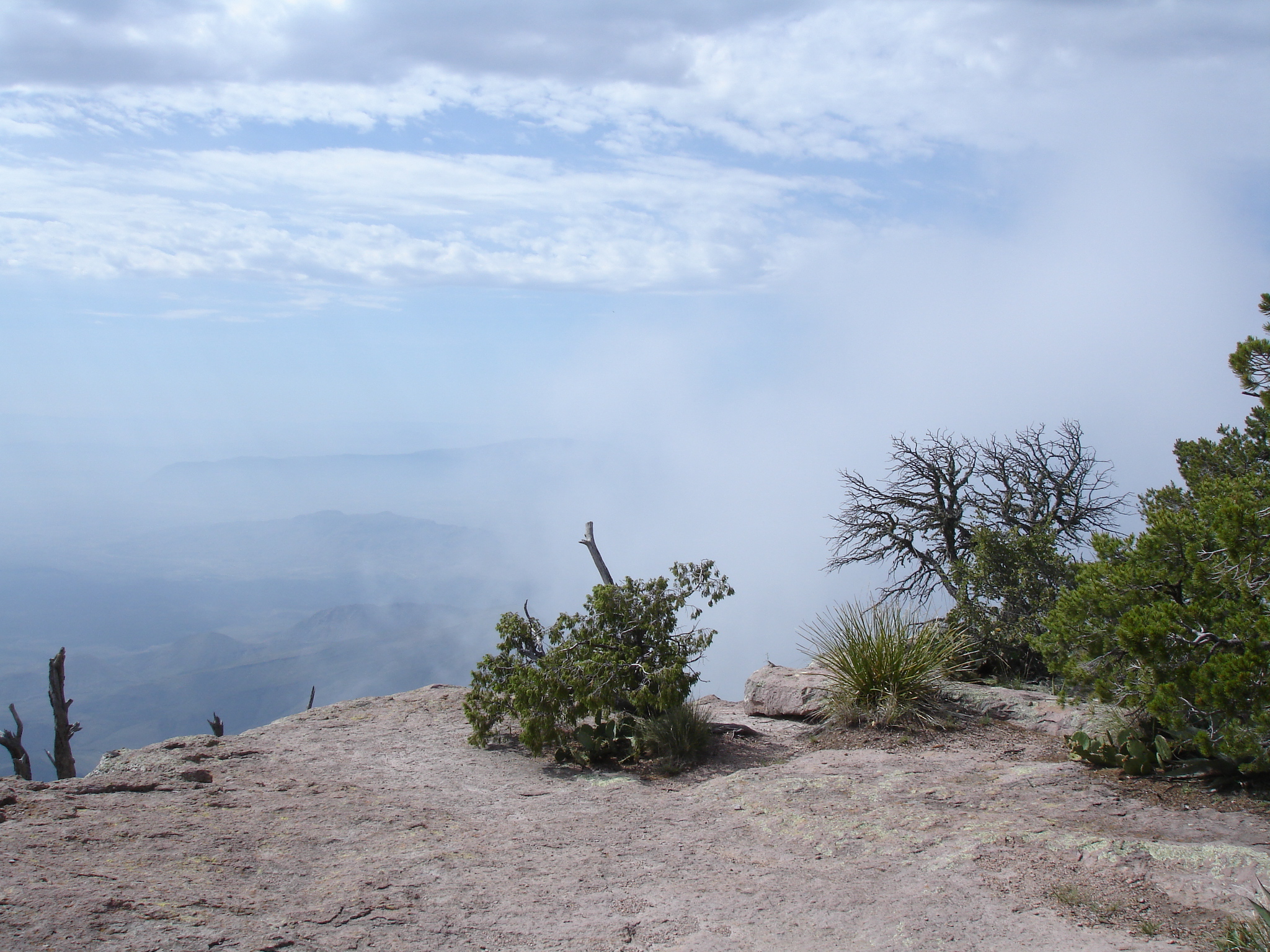
The steep section was straight up, no switchbacks, suggesting it was an old trail, since most trails switchback to prevent erosion. Again, I arrived at a log needing removal, but the crew leader behind me told me to go ahead. I was hoping he would say that. I was in the middle of the group on a steep climb recalling my 45 mile backpack around Mt. Hood, where leaving Tilly Jane going to 7000,’ I was taking 40 steps and stopping to breathe, then 40 more. This one I was making only 50 steps. Two were above me, and I had no idea how they were doing it, only that I wanted to be where they were, so I kept going, 50, stop and breathe, check the altimeter, 50 more.I reached where they were, and they were again further up. It was 600 brutal vertical feet straight up the ridge over maybe a half mile. When we reached the junction, at 3 pm, five miles yet to go, I was concerned at how slowly I did the climb. I wasn’t carrying an excessive amount of weight, my knee was behaving, and I was just doing what I could, but I felt like I was hanging on for dear life.

I told the crew leader for the third time that day I was going to start early, again to avoid stiffness. And for the third consecutive time, within a short distance there were two new logs that we had to cut out. After removing them, I was now in the back, but we were going downhill, so the hike became easier. At stream crossings, I looked for the shallowest place and went. I had done the same on Mt. Hood. My feet were already wet and as a canoeist, wet feet don’t bother me much. They weren’t going to dry before I finished the day, so I just kept going. And finally, the cruising speed I have after several miles of hiking started to kick in. I was still tired, but my legs worked automatically it seemed, especially downhill on a familiar trail. The crew leader later passed me; I kept him in sight for the most part and finished about 5. The others came in behind me “a few minutes” later.
I might do the loop again next year, but with lighter pants, a few extra wedges in my pack, and maybe see if I can get into better shape before I do it, although at my age, better shape has a low ceiling.